Spatial Factor Models for High-Dimensional and Large Spatial Data: An Application in Forest Variable Mapping
Publication
Metrics
AI Quick Summary
This paper develops the Spatial Factor Nearest Neighbor Gaussian Process (SF-NNGP) model to predict and map forest variables using high-dimensional LiDAR data over large spatial domains. The two-stage approach demonstrates effective inferential and predictive performance, generating complete-coverage maps of forest variables in boreal forests with associated uncertainty.
Paper Preview
Abstract
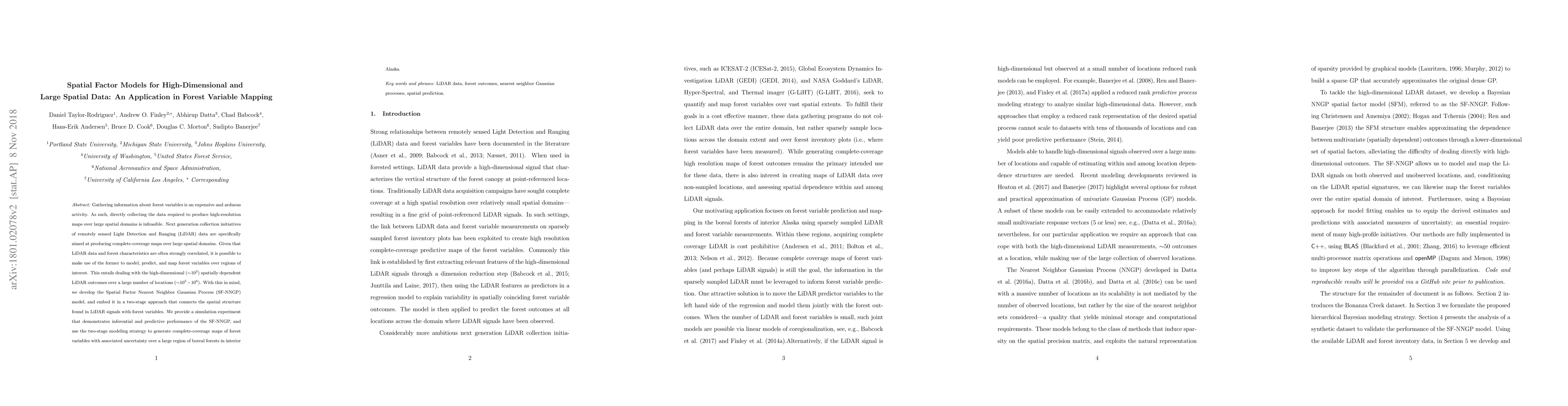
Gathering information about forest variables is an expensive and arduous activity. As such, directly collecting the data required to produce high-resolution maps over large spatial domains is infeasible. Next generation collection initiatives of remotely sensed Light Detection and Ranging (LiDAR) data are specifically aimed at producing complete-coverage maps over large spatial domains. Given that LiDAR data and forest characteristics are often strongly correlated, it is possible to make use of the former to model, predict, and map forest variables over regions of interest. This entails dealing with the high-dimensional ($\sim$$10^2$) spatially dependent LiDAR outcomes over a large number of locations (~10^5-10^6). With this in mind, we develop the Spatial Factor Nearest Neighbor Gaussian Process (SF-NNGP) model, and embed it in a two-stage approach that connects the spatial structure found in LiDAR signals with forest variables. We provide a simulation experiment that demonstrates inferential and predictive performance of the SF-NNGP, and use the two-stage modeling strategy to generate complete-coverage maps of forest variables with associated uncertainty over a large region of boreal forests in interior Alaska.
AI Key Findings
Get AI-generated insights about this paper's methodology, results, significance, and more — seven facets brought into focus.
Impact
Paper Details
PDF Preview
Key Terms
Citation Network
Current paper (gray), citations (green), references (blue)
Display is limited for performance on very large graphs.
Discussion 0