Spatial Gaussian fields (SGFs) are widely employed in modeling the
distributions of marine megafauna, yet they traditionally rely on assumptions
of isotropy and stationarity, conditions that often prove unrealistic in
complex ecological environments featuring coastlines, islands, and depth
gradients acting as partial movement barriers. Existing spatial models
typically treat these barriers as either fully impermeable, completely blocking
species movement and dispersal, or entirely absent, which inadequately
represents most real-world scenarios. To address this limitation, we introduce
the Transparent Barrier Model, an extension of spatial Gaussian fields that
explicitly incorporates barriers with varying levels of permeability. The model
assigns spatially varying range parameters to distinct barrier regions,
allowing ecological and geographical knowledge about barrier permeability to
directly inform model specifications. This approach maintains computational
efficiency by utilizing the integrated nested Laplace approximation (INLA)
framework combined with stochastic partial differential equations (SPDEs),
ensuring feasible application even in large, complex spatial domains.We
demonstrate the practical utility and flexibility of the Transparent Barrier
Model through its application to dugong (Dugong dugon) distribution data from
the Red Sea.
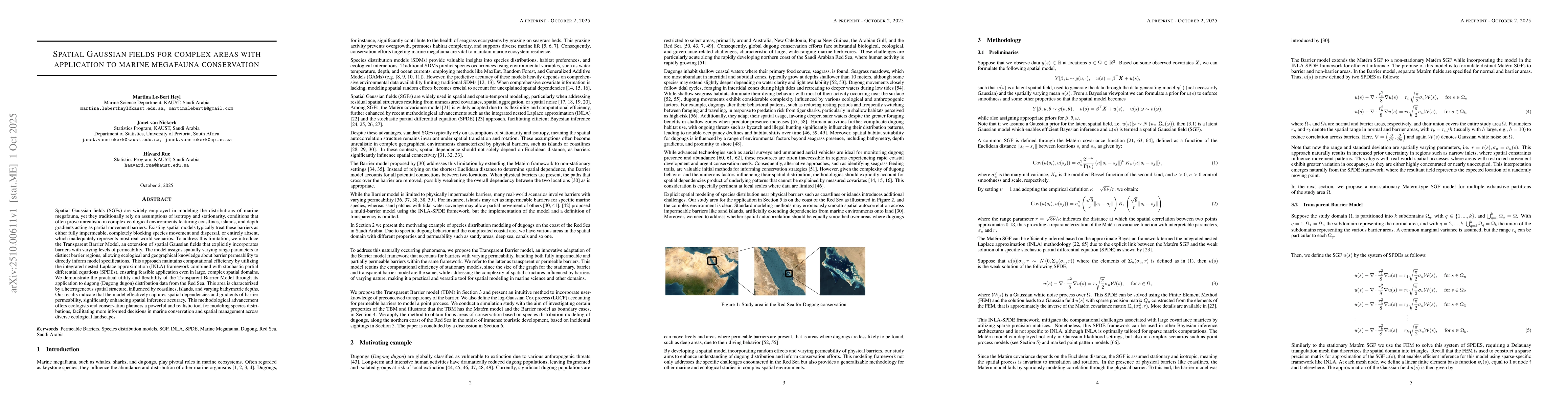
Discussion 0