Road extraction is an essential step in building autonomous navigation
systems. Detecting road segments is challenging as they are of varying widths,
bifurcated throughout the image, and are often occluded by terrain, cloud, or
other weather conditions. Using just convolution neural networks (ConvNets) for
this problem is not effective as it is inefficient at capturing distant
dependencies between road segments in the image which is essential to extract
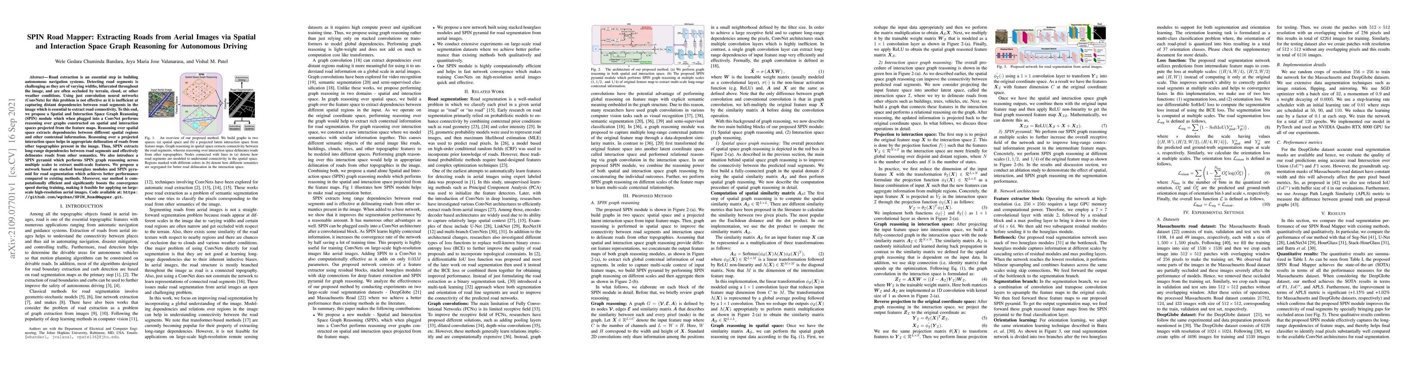
road connectivity. To this end, we propose a Spatial and Interaction Space
Graph Reasoning (SPIN) module which when plugged into a ConvNet performs
reasoning over graphs constructed on spatial and interaction spaces projected
from the feature maps. Reasoning over spatial space extracts dependencies
between different spatial regions and other contextual information. Reasoning
over a projected interaction space helps in appropriate delineation of roads
from other topographies present in the image. Thus, SPIN extracts long-range
dependencies between road segments and effectively delineates roads from other
semantics. We also introduce a SPIN pyramid which performs SPIN graph reasoning
across multiple scales to extract multi-scale features. We propose a network
based on stacked hourglass modules and SPIN pyramid for road segmentation which
achieves better performance compared to existing methods. Moreover, our method
is computationally efficient and significantly boosts the convergence speed
during training, making it feasible for applying on large-scale high-resolution
aerial images. Code available at:
https://github.com/wgcban/SPIN_RoadMapper.git.
Discussion 0