Authors
Summary
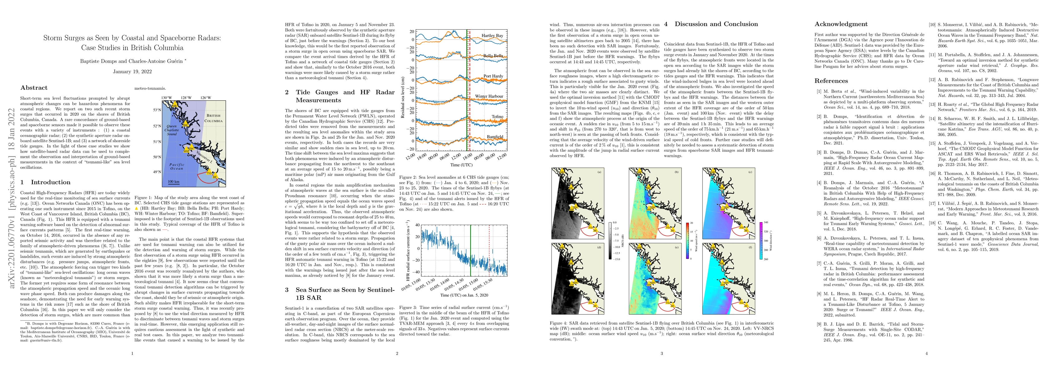
Short-term sea level fluctuations prompted by abrupt atmospheric changes can be hazardous phenomena for coastal regions. We report on two such recent storm surges that occurred in 2020 on the shores of British Columbia, Canada. A rare concordance of ground-based and spaceborne sensors made it possible to observe these events with a variety of instruments : (1) a coastal oceanographic radar; (2) the synthetic aperture radar onboard satellite Sentinel-1B; and (3) a network of shoreside tide gauges. In the light of these case studies we show how satellite-based radar data can be used to complement the observation and interpretation of ground-based measurements in the context of ``tsunami-like'' sea level oscillations.
AI Key Findings
Get AI-generated insights about this paper's methodology, results, and significance.
Paper Details
PDF Preview
Key Terms
Citation Network
Current paper (gray), citations (green), references (blue)
Display is limited for performance on very large graphs.
Similar Papers
Found 4 papersSpatiotemporal Impact Analysis of Hurricanes and Storm Surges on Power Systems
Anamika Dubey, Abodh Poudyal, Charlotte Wertz et al.
No citations found for this paper.

Comments (0)