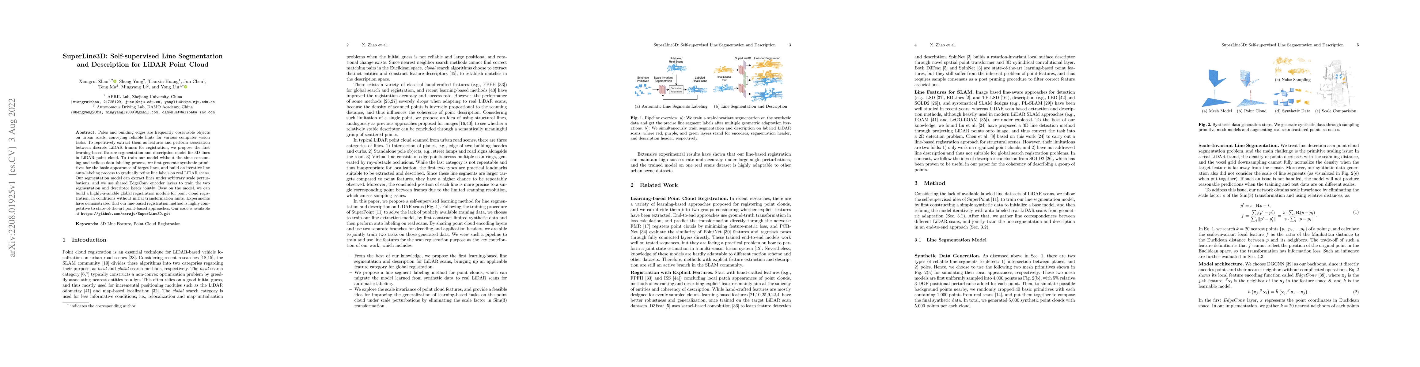
SuperLine3D: Self-supervised Line Segmentation and Description for LiDAR Point Cloud
Publication
Metrics
AI Quick Summary
SuperLine3D proposes a self-supervised model for segmenting and describing 3D lines in LiDAR point clouds, enabling feature extraction and registration without manual labeling. The model uses synthetic data and iterative auto-labeling to train, achieving competitive registration performance compared to state-of-the-art point-based methods.
Paper Preview
Abstract
Poles and building edges are frequently observable objects on urban roads, conveying reliable hints for various computer vision tasks. To repetitively extract them as features and perform association between discrete LiDAR frames for registration, we propose the first learning-based feature segmentation and description model for 3D lines in LiDAR point cloud. To train our model without the time consuming and tedious data labeling process, we first generate synthetic primitives for the basic appearance of target lines, and build an iterative line auto-labeling process to gradually refine line labels on real LiDAR scans. Our segmentation model can extract lines under arbitrary scale perturbations, and we use shared EdgeConv encoder layers to train the two segmentation and descriptor heads jointly. Base on the model, we can build a highly-available global registration module for point cloud registration, in conditions without initial transformation hints. Experiments have demonstrated that our line-based registration method is highly competitive to state-of-the-art point-based approaches. Our code is available at https://github.com/zxrzju/SuperLine3D.git.
AI Key Findings
Get AI-generated insights about this paper's methodology, results, significance, and more — seven facets brought into focus.
Impact
Paper Details
Authors
PDF Preview
Key Terms
Citation Network
Current paper (gray), citations (green), references (blue)
Display is limited for performance on very large graphs.
Discussion 0