Summary

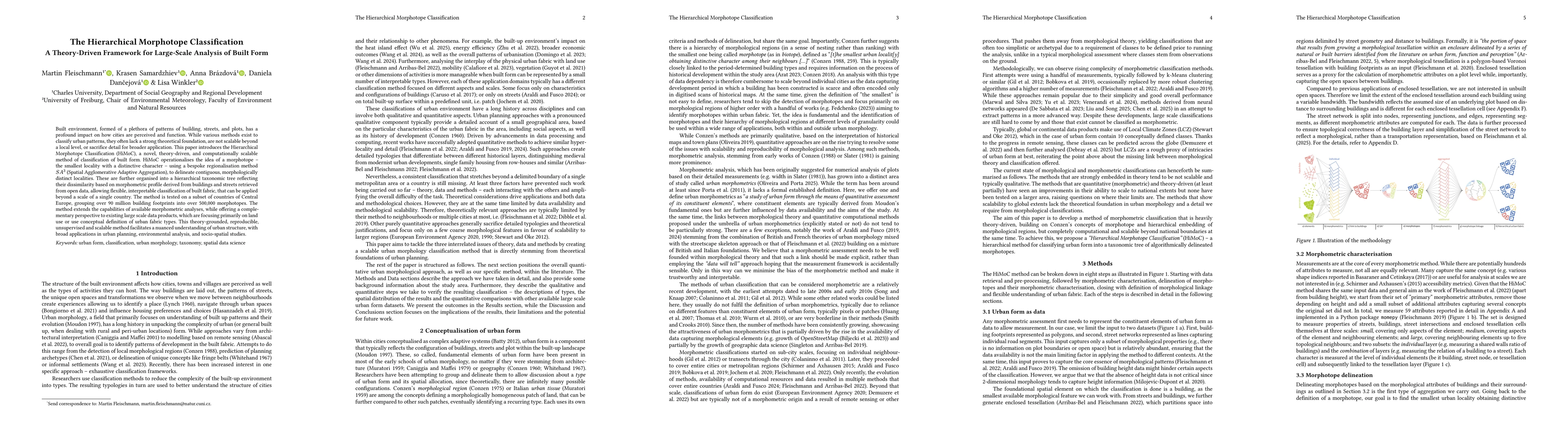
Built environment, formed of a plethora of patterns of building, streets, and plots, has a profound impact on how cities are perceived and function. While various methods exist to classify urban patterns, they often lack a strong theoretical foundation, are not scalable beyond a local level, or sacrifice detail for broader application. This paper introduces the Hierarchical Morphotope Classification (HiMoC), a novel, theory-driven, and computationally scalable method of classification of built form. HiMoC operationalises the idea of a morphotope - the smallest locality with a distinctive character - using a bespoke regionalisation method SA3 (Spatial Agglomerative Adaptive Aggregation), to delineate contiguous, morphologically distinct localities. These are further organised into a hierarchical taxonomic tree reflecting their dissimilarity based on morphometric profile derived from buildings and streets retrieved from open data, allowing flexible, interpretable classification of built fabric, that can be applied beyond a scale of a single country. The method is tested on a subset of countries of Central Europe, grouping over 90 million building footprints into over 500,000 morphotopes. The method extends the capabilities of available morphometric analyses, while offering a complementary perspective to existing large scale data products, which are focusing primarily on land use or use conceptual definition of urban fabric types. This theory-grounded, reproducible, unsupervised and scalable method facilitates a nuanced understanding of urban structure, with broad applications in urban planning, environmental analysis, and socio-spatial studies.

AI Key Findings

Generated Oct 02, 2025

Methodology

The study employs a multi-scale morphometric analysis combining spatial metrics, shape descriptors, and topological relationships to classify urban morphology. It integrates building, tessellation cell, and street segment characteristics across three scales (small, medium, large) to capture structural patterns.

Key Results

  • Identified 7 distinct urban morphological types representing global city configurations
  • Demonstrated that shape complexity metrics (e.g., circular compactness, equivalent rectangular index) are critical for distinguishing urban forms
  • Established a hierarchical classification framework linking micro-scale elements to macro-scale urban patterns

Significance

This research provides a scalable framework for understanding urban form evolution, supporting urban planning, climate adaptation strategies, and smart city development by revealing fundamental patterns in urban morphology.

Technical Contribution

Developed a comprehensive set of morphometric parameters and a multi-scale analysis framework that enables systematic classification of urban morphology based on geometric and topological properties.

Novelty

Introduces a hierarchical classification approach combining building, tessellation cell, and street segment metrics across three spatial scales, providing a more holistic understanding of urban form compared to previous single-scale analyses.

Limitations

  • Relies on polygonal data which may not capture complex architectural features
  • Assumes uniform development intensity across tessellation cells
  • Requires high-resolution spatial data which may not be available in all regions

Future Work

  • Integration with 3D building data for more accurate morphometric analysis
  • Application to historical urban datasets to study morphological evolution
  • Development of machine learning models for automated morphological classification
  • Expansion to include socio-economic and functional land use characteristics

Paper Details

PDF Preview

Download PDF

Comments (0)

This website uses cookies to ensure you get the best experience. Learn more