The paper introduces Virtual Teach and Repeat (VirT&R), a method enabling zero-shot autonomous ground vehicle navigation using aerial imagery and Neural Radiance Field (NeRF) models. VirT&R creates high-fidelity environment simulations for path planning, which can then be executed by an UGV without prior on-site teaching. It outperforms the existing LiDAR Teach and Repeat (LT&R) method, achieving slightly lower path-tracking errors (RMSE: 19.5 cm vs 18.4 cm) and demonstrating comparable performance without human intervention in the actual environment.
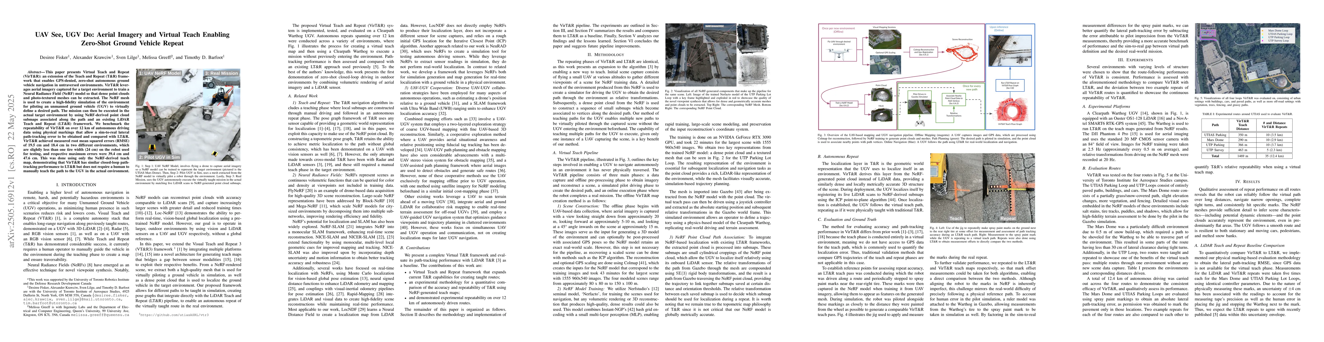
This paper presents Virtual Teach and Repeat (VirT&R): an extension of the Teach and Repeat (T&R) framework that enables GPS-denied, zero-shot autonomous ground vehicle navigation in untraversed environments. VirT&R leverages aerial imagery captured for a target environment to train a Neural Radiance Field (NeRF) model so that dense point clouds and photo-textured meshes can be extracted. The NeRF mesh is used to create a high-fidelity simulation of the environment for piloting an unmanned ground vehicle (UGV) to virtually define a desired path. The mission can then be executed in the actual target environment by using NeRF-derived point cloud submaps associated along the path and an existing LiDAR Teach and Repeat (LT&R) framework. We benchmark the repeatability of VirT&R on over 12 km of autonomous driving data using physical markings that allow a sim-to-real lateral path-tracking error to be obtained and compared with LT&R. VirT&R achieved measured root mean squared errors (RMSE) of 19.5 cm and 18.4 cm in two different environments, which are slightly less than one tire width (24 cm) on the robot used for testing, and respective maximum errors were 39.4 cm and 47.6 cm. This was done using only the NeRF-derived teach map, demonstrating that VirT&R has similar closed-loop path-tracking performance to LT&R but does not require a human to manually teach the path to the UGV in the actual environment.
Generated Jun 07, 2025
The research introduces Virtual Teach and Repeat (VirT&R), an extension of Teach and Repeat (T&R) framework. VirT&R uses aerial imagery to train a Neural Radiance Field (NeRF) model, generating high-fidelity simulations for path planning. The mission is executed using NeRF-derived point cloud submaps and an existing LiDAR Teach and Repeat (LT&R) framework.
This research is significant as it enables zero-shot autonomous ground vehicle navigation in untraversed environments without GPS, using aerial imagery and virtual teach methods.
The main technical contribution is the development of VirT&R, which combines aerial imagery with NeRF for creating high-fidelity simulations for GPS-denied ground vehicle navigation.
VirT&R extends the T&R framework by incorporating NeRF-generated point clouds from aerial imagery, enabling zero-shot navigation in previously untraversed environments.
No key terms available for this paper.
Current paper (gray), citations (green), references (blue)
Kai Liu, Huaxiang Zhang, Guo-Niu Zhu et al.
Chinmay K Lalgudi, Mark E Leone, Jaden V Clark et al.
Pratap Tokekar, Dinesh Manocha, Guangyao Shi et al.
No citations found for this paper.
Comments (0)