The research uses aggregated mobile phone data from TIM, Italy, to study human mobility flows. It approximates the Wasserstein distance between consecutive density profiles to extract main directions followed by people, enabling the understanding of mass distribution in space and time.
Understanding Human Mobility Flows from Aggregated Mobile Phone Data
Publication
Metrics
AI Quick Summary
This paper analyzes travel flows and patterns in large urban areas using aggregated mobile phone data from TIM, Italy. It employs the Wasserstein distance to determine main directions of human movement, facilitating applications like commuter flow monitoring, event organization, and traffic management.
Quick Answers
What is "Understanding Human Mobility Flows from Aggregated Mobile Phone Data" about?
This paper analyzes travel flows and patterns in large urban areas using aggregated mobile phone data from TIM, Italy. It employs the Wasserstein distance to determine main directions of human movement, facilitating applications like commuter flow monitoring, event organization, and traffic management.
What methodology did the authors use?
The research uses aggregated mobile phone data from TIM, Italy, to study human mobility flows. It approximates the Wasserstein distance between consecutive density profiles to extract main directions followed by people, enabling the understanding of mass distribution in space and time. More in Methodology →
What are the key results?
The approach provides meaningful results for traffic management and control, including monitoring daily commuter flows, organizing large events, and improving traffic management. — Numerical simulations demonstrate the effectiveness of the method despite strong assumptions about indistinguishable and interchangeable people moving without distinguishing between vehicular and pedestrian traffic. More in Key Results →
Why is this work significant?
This research is significant for understanding human mobility patterns in large populated areas using coarse-grained data, which can be applied to traffic management, event organization, and urban planning. More in Significance →
What are the main limitations?
The method assumes people can move freely in space, ignoring obstacles, and does not distinguish between vehicular and pedestrian traffic. — The analysis is limited to the area of the province of Milan, Italy, and may not be directly generalizable to other regions without further study. More in Limitations →
Abstract
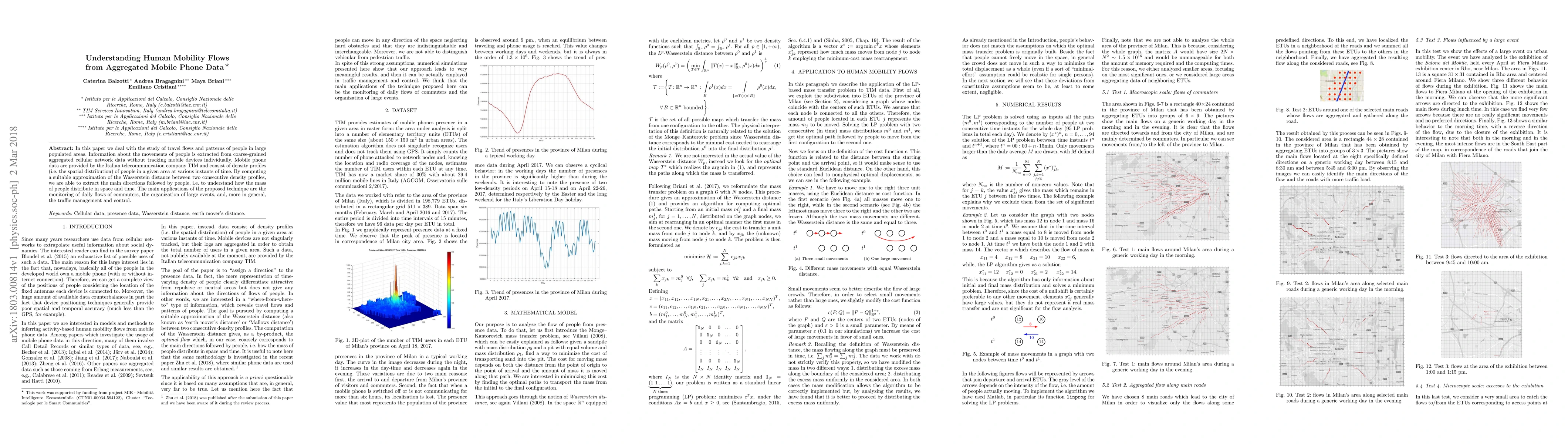
In this paper we deal with the study of travel flows and patterns of people in large populated areas. Information about the movements of people is extracted from coarse-grained aggregated cellular network data without tracking mobile devices individually. Mobile phone data are provided by the Italian telecommunication company TIM and consist of density profiles (i.e. the spatial distribution) of people in a given area at various instants of time. By computing a suitable approximation of the Wasserstein distance between two consecutive density profiles, we are able to extract the main directions followed by people, i.e. to understand how the mass of people distribute in space and time. The main applications of the proposed technique are the monitoring of daily flows of commuters, the organization of large events, and, more in general, the traffic management and control.
Key Findings, in focus
Seven facets of this paper, analysed and brought into focus by AI.
This research is significant for understanding human mobility patterns in large populated areas using coarse-grained data, which can be applied to traffic management, event organization, and urban planning.
- The approach provides meaningful results for traffic management and control, including monitoring daily commuter flows, organizing large events, and improving traffic management.
- Numerical simulations demonstrate the effectiveness of the method despite strong assumptions about indistinguishable and interchangeable people moving without distinguishing between vehicular and pedestrian traffic.
- The technique successfully identifies cyclical behavior in the number of presences, with significantly higher numbers during working days compared to weekends.
This research is significant for understanding human mobility patterns in large populated areas using coarse-grained data, which can be applied to traffic management, event organization, and urban planning.
The paper introduces a method to analyze human mobility flows using the Monge-Kantorovich mass transfer problem and Wasserstein distance, applied to aggregated mobile phone data.
The work is novel in its application of optimal transport theory to mobile phone data for understanding large-scale human mobility patterns, providing a coarse-grained yet insightful analysis of population distribution and movement.
- The method assumes people can move freely in space, ignoring obstacles, and does not distinguish between vehicular and pedestrian traffic.
- The analysis is limited to the area of the province of Milan, Italy, and may not be directly generalizable to other regions without further study.
- Applying the approach to construct origin-destination (O-D) matrices from the optimal map for traffic forecasting.
- Investigating comparisons with other techniques and linking the method to different types of transportation metrics.
- Developing more efficient implementations for larger-scale analysis.
Impact
Paper Details
PDF Preview
Key Terms
Citation Network
Current paper (gray), citations (green), references (blue)
Display is limited for performance on very large graphs.
Discussion 0