Authors
Summary
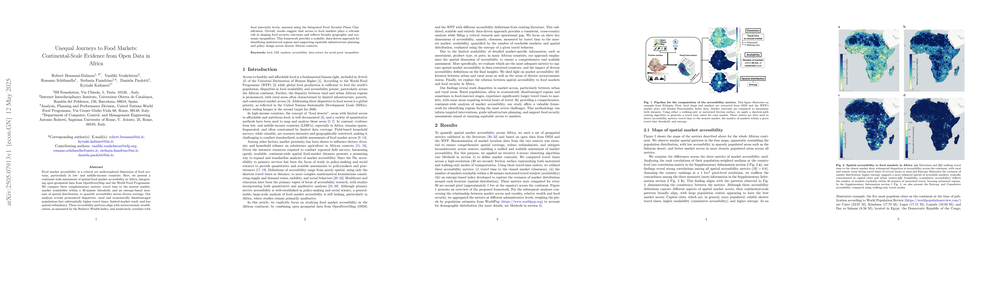
Food market accessibility is a critical yet underexplored dimension of food systems, particularly in low- and middle-income countries. Here, we present a continent-wide assessment of spatial food market accessibility in Africa, integrating open geospatial data from OpenStreetMap and the World Food Programme. We compare three complementary metrics: travel time to the nearest market, market availability within a 30-minute threshold, and an entropy-based measure of spatial distribution, to quantify accessibility across diverse settings. Our analysis reveals pronounced disparities: rural and economically disadvantaged populations face substantially higher travel times, limited market reach, and less spatial redundancy. These accessibility patterns align with socioeconomic stratification, as measured by the Relative Wealth Index, and moderately correlate with food insecurity levels, assessed using the Integrated Food Security Phase Classification. Overall, results suggest that access to food markets plays a relevant role in shaping food security outcomes and reflects broader geographic and economic inequalities. This framework provides a scalable, data-driven approach for identifying underserved regions and supporting equitable infrastructure planning and policy design across diverse African contexts.
AI Key Findings
Generated Jun 08, 2025
Methodology
The research integrates open geospatial data from OpenStreetMap and the World Food Programme to assess spatial food market accessibility across Africa, using three complementary metrics: travel time to the nearest market, market availability within a 30-minute threshold, and an entropy-based measure of spatial distribution.
Key Results
- Pronounced disparities in food market accessibility exist, with rural and economically disadvantaged populations facing higher travel times, limited market reach, and less spatial redundancy.
- Accessibility patterns align with socioeconomic stratification, as measured by the Relative Wealth Index.
- Moderate correlation found between food market accessibility and food insecurity levels, assessed using the Integrated Food Security Phase Classification.
Significance
This study provides a scalable, data-driven approach for identifying underserved regions and supports equitable infrastructure planning and policy design across diverse African contexts, highlighting the role of food market access in shaping food security outcomes.
Technical Contribution
Development of a continental-scale framework for assessing food market accessibility using open geospatial data, combining multiple accessibility metrics and correlating them with socioeconomic and food security indicators.
Novelty
This research offers a novel, large-scale analysis of food market accessibility in Africa, employing open data sources and multiple complementary metrics to reveal the relationship between market accessibility and food security, providing insights for policy and infrastructure planning.
Limitations
- The study does not account for non-geospatial factors influencing food market accessibility, such as market days, pricing, or quality of available goods.
- Reliance on open-source data may introduce inaccuracies or gaps in information, particularly in remote or under-mapped regions.
Future Work
- Investigate the impact of additional factors like market days, pricing, and quality on food market accessibility.
- Explore the integration of more detailed and localized data sources to enhance the accuracy and comprehensiveness of the analysis.
Paper Details
PDF Preview
Citation Network
Current paper (gray), citations (green), references (blue)
Display is limited for performance on very large graphs.
Similar Papers
Found 4 papersNo citations found for this paper.
Comments (0)