UrbanBIS is a large-scale 3D benchmark for fine-grained urban building instance segmentation, featuring six real urban scenes with detailed semantic and instance-level annotations. The dataset includes 2.5 billion points and supports advanced applications in urban planning and autonomous navigation.
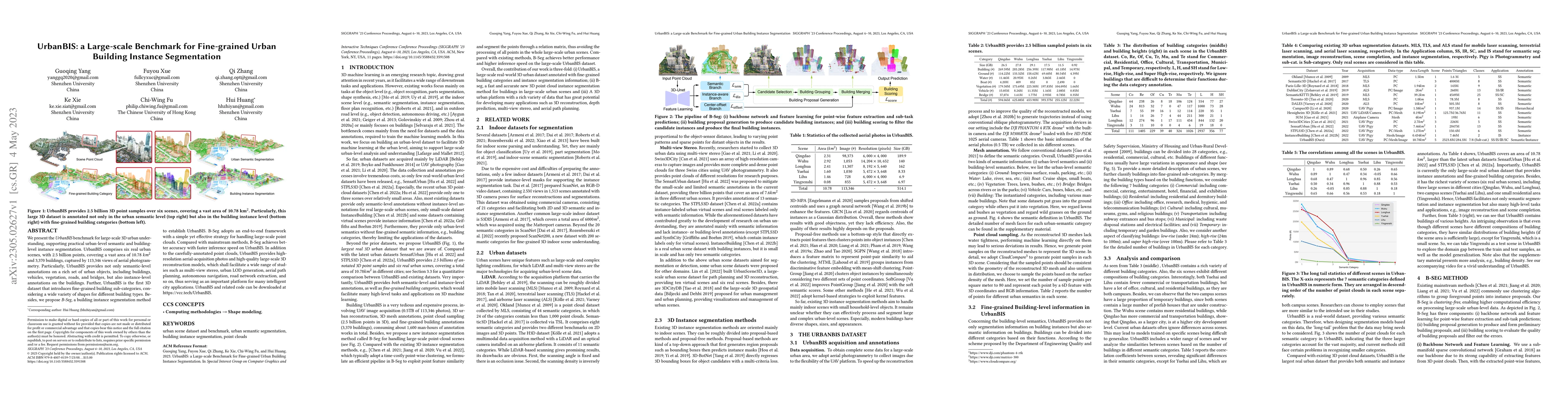
We present the UrbanBIS benchmark for large-scale 3D urban understanding, supporting practical urban-level semantic and building-level instance segmentation. UrbanBIS comprises six real urban scenes, with 2.5 billion points, covering a vast area of 10.78 square kilometers and 3,370 buildings, captured by 113,346 views of aerial photogrammetry. Particularly, UrbanBIS provides not only semantic-level annotations on a rich set of urban objects, including buildings, vehicles, vegetation, roads, and bridges, but also instance-level annotations on the buildings. Further, UrbanBIS is the first 3D dataset that introduces fine-grained building sub-categories, considering a wide variety of shapes for different building types. Besides, we propose B-Seg, a building instance segmentation method to establish UrbanBIS. B-Seg adopts an end-to-end framework with a simple yet effective strategy for handling large-scale point clouds. Compared with mainstream methods, B-Seg achieves better accuracy with faster inference speed on UrbanBIS. In addition to the carefully-annotated point clouds, UrbanBIS provides high-resolution aerial-acquisition photos and high-quality large-scale 3D reconstruction models, which shall facilitate a wide range of studies such as multi-view stereo, urban LOD generation, aerial path planning, autonomous navigation, road network extraction, and so on, thus serving as an important platform for many intelligent city applications.
Current paper (gray), citations (green), references (blue)
Xin Jiang, Hao Tang, Zechao Li et al.
Depeng Jin, Yong Li, Jie Feng et al.
Xinlong Zhao, Shan Du
Xu Zhang, Jiahao Wang, Fan Xu et al.
Ce Zhang, Gedas Bertasius, Yulu Pan
Title | Authors | Year | Actions |
---|---|---|---|
ArcPro: Architectural Programs for Structured 3D Abstraction of Sparse Points
|
Qiruin Huang, Runze Zhang, Kangjun Liu, Minglun Gong, Hao Zhang, Hui Huang
|
2025
|
View Paper |
Weighted Poisson-disk Resampling on Large-Scale Point Clouds
|
Xianhe Jiao, Chenlei Lv, Junli Zhao, Ran Yi, Yu-Hui Wen, Zhenkuan Pan, Zhongke Wu, Yong-Jin Liu
|
2024
|
View Paper |
WHU-Railway3D: A Diverse Dataset and Benchmark for Railway Point Cloud Semantic Segmentation
|
Bo Qiu, Yuzhou Zhou, Lei Dai, Bing Wang, Jianping Li, Zhen Dong, Chenglu Wen, Zhiliang Ma, Bisheng Yang
|
2024
|
View Paper |
AerialGo: Walking-through City View Generation from Aerial Perspectives
|
Fuqiang Zhao, Yijing Guo, Siyuan Yang, Xi Chen, Luo Wang, Lan Xu, Yingliang Zhang, Yujiao Shi, Jingyi Yu
|
2024
|
View Paper |
LightUrban: Similarity Based Fine-grained Instancing for Lightweighting Complex Urban Point Clouds
|
Ziang Lu, Weidan Xiong, Peng Ren, Jinyuan Jia
|
2024
|
View Paper |
PyramidPCD: A novel pyramid network for point cloud denoising
|
Zheng Liu, Weijie Zhou, Chuchen Guo, Qinjun Qiu, Zhong Xie
|
2024
|
View Paper |
Architectural Co-LOD Generation
|
Runze Zhang, Shanshan Pan, Chenlei Lv, Minglun Gong, Hui Huang
|
2024
|
View Paper |
BF-SAM: enhancing SAM through multi-modal fusion for fine-grained building function identification
|
Zhaoya Gong, Binbo Li, Chenglong Wang, Jun Chen, Pengjun Zhao
|
2024
|
View Paper |
AeroVerse: UAV-Agent Benchmark Suite for Simulating, Pre-training, Finetuning, and Evaluating Aerospace Embodied World Models
|
Fanglong Yao, Yuanchang Yue, Youzhi Liu, Xian Sun, Kun Fu
|
2024
|
View Paper |
WindPoly: Polygonal Mesh Reconstruction via Winding Numbers
|
Xin He, Chenlei Lv, Pengdi Huang, Hui Huang
|
2024
|
View Paper |
3D Question Answering for City Scene Understanding
|
Penglei Sun, Yaoxian Song, Xiang Liu, Xiaofei Yang, Qiang Wang, Tiefeng Li, Yang Yang, Xiaowen Chu
|
2024
|
View Paper |
TCFAP-Net: Transformer-based Cross-feature Fusion and Adaptive Perception Network for large-scale point cloud semantic segmentation
|
Jianjun Zhang, Zhipeng Jiang, Qinjun Qiu, Zheng Liu
|
2024
|
View Paper |
GauU-Scene V2: Assessing the Reliability of Image-Based Metrics with Expansive Lidar Image Dataset Using 3DGS and NeRF
|
Butian Xiong, Nanjun Zheng, Junhua Liu, Zhen Li
|
2024
|
View Paper |
Aerial Lifting: Neural Urban Semantic and Building Instance Lifting from Aerial Imagery
|
Yuqi Zhang, Guanying Chen, Jiaxing Chen, Shuguang Cui
|
2024
|
View Paper |
A novel Building Section Skeleton for compact 3D reconstruction from point clouds: A study of high-density urban scenes
|
Yijie Wu, Fan Xue, Maosu Li, Sou-Han Chen
|
2024
|
View Paper |
GauU-Scene: A Scene Reconstruction Benchmark on Large Scale 3D Reconstruction Dataset Using Gaussian Splatting
|
Butian Xiong, Zhuo Li, Zhen Li
|
2024
|
View Paper |
A Survey on 3D Gaussian Splatting
|
Guikun Chen, Wenguan Wang
|
2024
|
View Paper |
Improving Three-Dimensional Building Segmentation on Three-Dimensional City Models through Simulated Data and Contextual Analysis for Building Extraction
|
Frédéric Leroux, Mickaël Germain, Étienne Clabaut, Y. Bouroubi, Tony St-Pierre
|
2024
|
View Paper |
BEMF-Net: Semantic Segmentation of Large-Scale Point Clouds via Bilateral Neighbor Enhancement and Multi-Scale Fusion
|
Hao Ji, Sansheng Yang, Zhipeng Jiang, Jianjun Zhang, Shuhao Guo, Gaorui Li, Saishang Zhong, Zheng Liu, Zhong Xie
|
2023
|
View Paper |
GauU-Scene V2: Expanse Lidar Image Dataset Shows Unreliable Geometric Reconstruction Using Gaussian Splatting and NeRF
|
Butian Xiong, Nanjun Zheng, Zhen Li
|
View Paper |
Comments (0)