01
MethodologyHow they did it
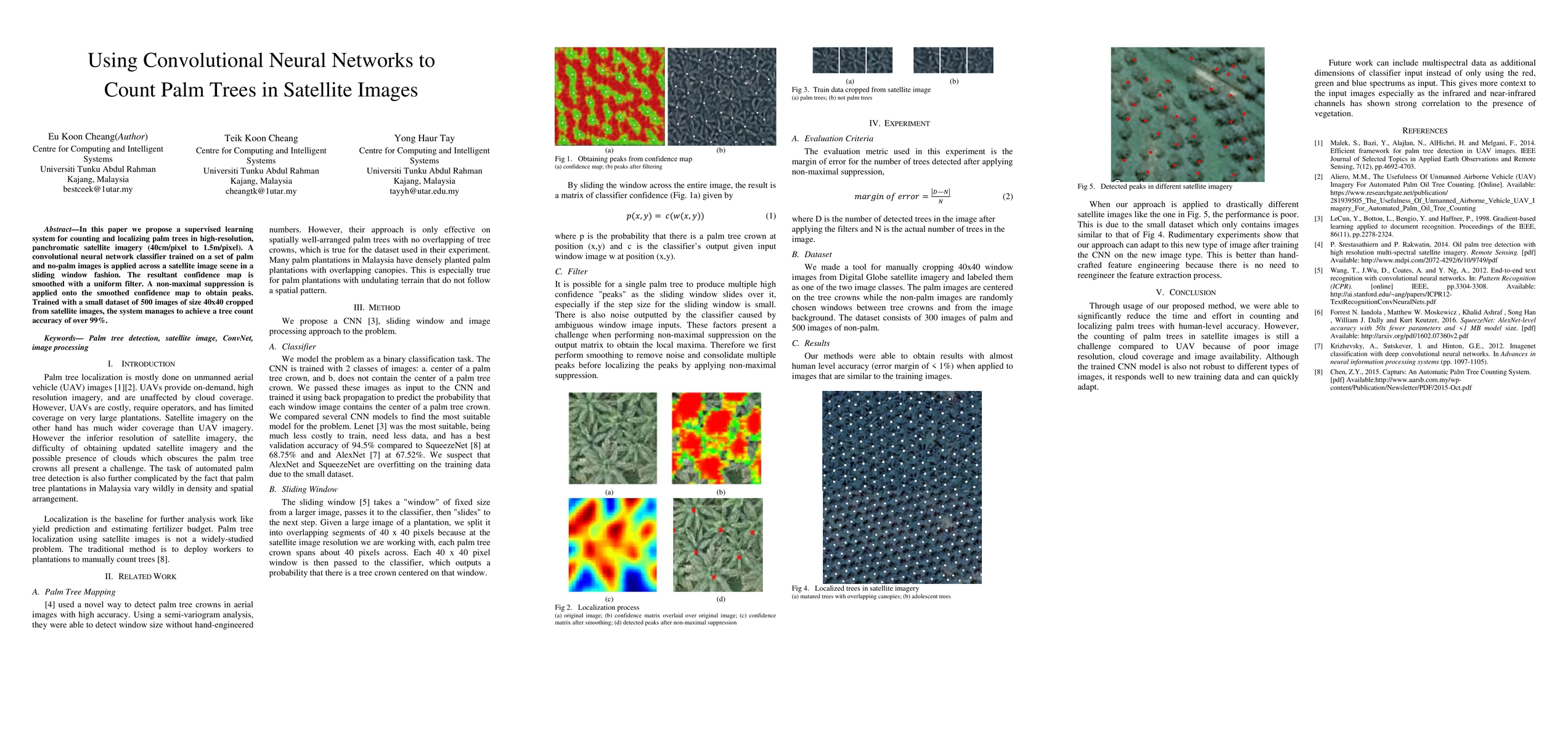
A supervised learning system for counting and localizing palm trees in high-resolution satellite imagery using a convolutional neural network classifier trained on a set of palm and no-palm images.
Discussion 0