Quick Summary:

Researchers explored using Large Language Models to analyze Automatic Identification System (AIS) data, finding that LLMs excel at specific tasks when combined with spatial databases or compressed trajectory data.

Summary

Recent research in Large Language Models (LLMs), has had a profound impact across various fields, including mobility data science. This paper explores the and experiment with different approaches to using LLMs for analyzing AIS data. We propose a set of carefully designed queries to assess the reasoning capabilities of LLMs in this kind of tasks. Further, we experiment with four different methods: (1) using LLMs as a natural language interface to a spatial database, (2) reasoning on raw data, (3) reasoning on compressed trajectories, and (4) reasoning on semantic trajectories. We investigate the strengths and weaknesses for the four methods, and discuss the findings. The goal is to provide valuable insights for both researchers and practitioners on selecting the most appropriate LLM-based method depending on their specific data analysis objectives.

AI Key Findings

Generated Jun 09, 2025

Methodology

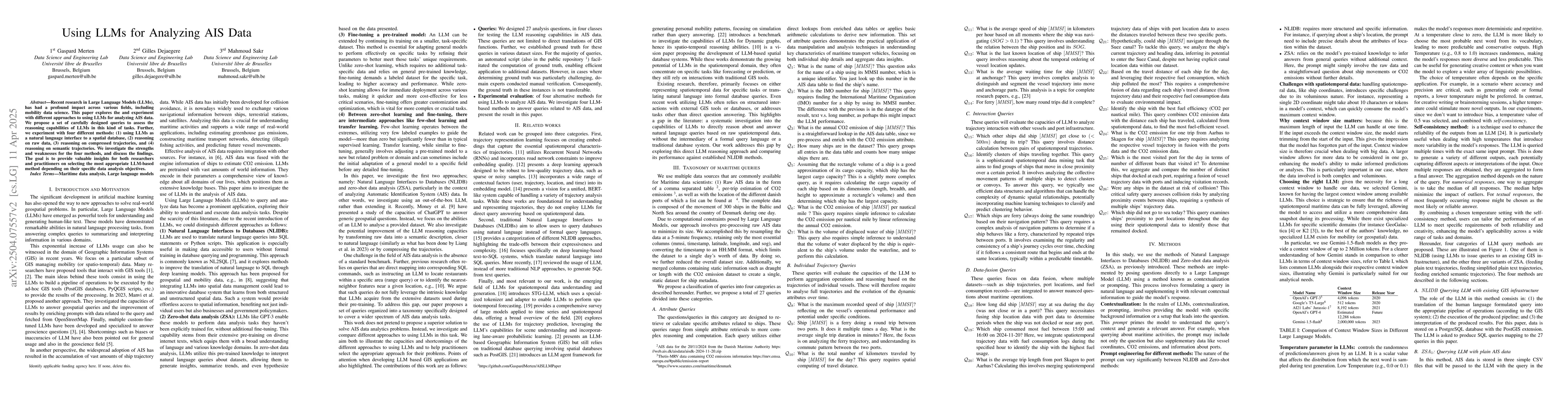
This paper explores the use of Large Language Models (LLMs) for analyzing AIS data, proposing four methods: (1) using LLMs as a natural language interface to a spatial database, (2) reasoning on raw data, (3) reasoning on compressed trajectories, and (4) reasoning on semantic trajectories. The study employs Natural Language Interfacing to Databases (NLIDB) and Zero-Shot Analysis (ZSA) methods, using the Gemini LLM due to its large context window.

Key Results

  • The NLIDB method demonstrates consistent performance regardless of dataset size, while ZSA methods' performance degrades with larger datasets.
  • Transforming data into semantic events did not significantly improve ZSA performance compared to raw data.
  • All methods struggle with complex queries, especially those involving ship interactions, and none can identify clusters of ships traveling together.
  • LLMs show potential as a Geographic Information System (GIS) for processing spatiotemporal queries directly from raw data formats.
  • The study emphasizes the limitations of current models in handling complex data queries and the need for cautious deployment due to risks of over-reliance on automated systems.

Significance

This research evaluates the performance of NLIDB and ZSA methods using LLMs for AIS data analysis, highlighting their potential as a GIS and the necessity for careful implementation considering the risks of automated systems.

Technical Contribution

The paper proposes and compares four methods for using LLMs to analyze AIS data, including NLIDB and ZSA approaches, and demonstrates their performance across various query types and dataset sizes.

Novelty

This work addresses a gap in literature by systematically investigating LLMs' direct reasoning capabilities on raw spatiotemporal data, providing insights for researchers and practitioners in selecting appropriate LLM-based methods for specific data analysis objectives.

Limitations

  • LLMs face challenges in handling larger volumes of spatiotemporal data due to context size limitations.
  • Complex queries, particularly those involving ship interactions, remain difficult for all methods.
  • None of the methods can identify clusters of ships traveling together.

Future Work

  • Explore methods to improve LLM performance with larger datasets.
  • Develop techniques to better handle complex spatiotemporal queries and ship interaction analysis.
  • Investigate ways to enable LLMs to identify and analyze clusters of ships traveling together.

Paper Details

PDF Preview

Download PDF

Key Terms

No key terms available for this paper.

No citations found for this paper.

Comments (0)

This website uses cookies to ensure you get the best experience. Learn more