Authors
Summary
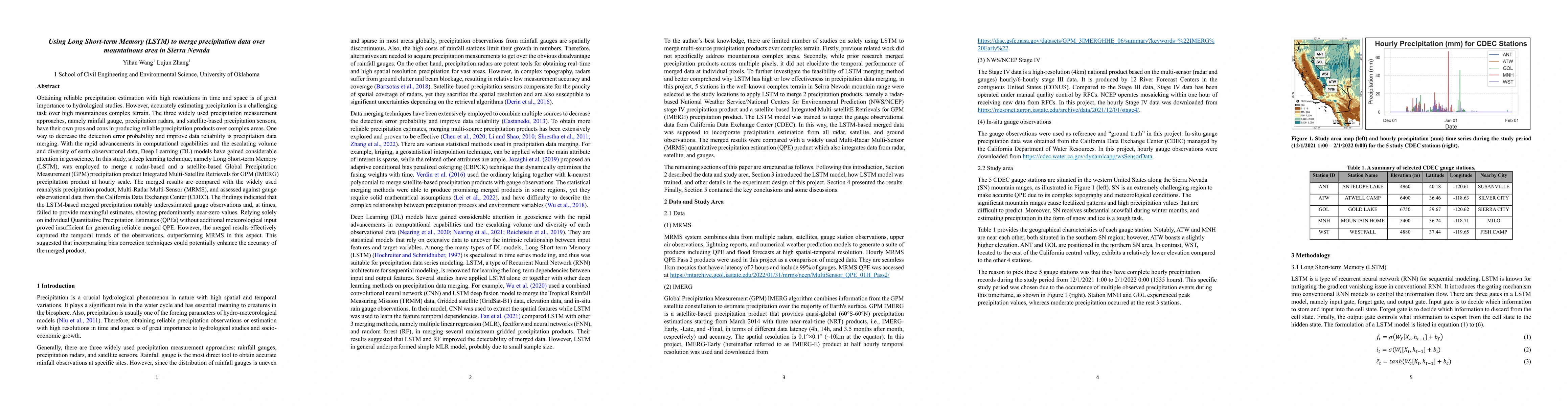
Obtaining reliable precipitation estimation with high resolutions in time and space is of great importance to hydrological studies. However, accurately estimating precipitation is a challenging task over high mountainous complex terrain. The three widely used precipitation measurement approaches, namely rainfall gauge, precipitation radars, and satellite-based precipitation sensors, have their own pros and cons in producing reliable precipitation products over complex areas. One way to decrease the detection error probability and improve data reliability is precipitation data merging. With the rapid advancements in computational capabilities and the escalating volume and diversity of earth observational data, Deep Learning (DL) models have gained considerable attention in geoscience. In this study, a deep learning technique, namely Long Short-term Memory (LSTM), was employed to merge a radar-based and a satellite-based Global Precipitation Measurement (GPM) precipitation product Integrated Multi-Satellite Retrievals for GPM (IMERG) precipitation product at hourly scale. The merged results are compared with the widely used reanalysis precipitation product, Multi-Radar Multi-Sensor (MRMS), and assessed against gauge observational data from the California Data Exchange Center (CDEC). The findings indicated that the LSTM-based merged precipitation notably underestimated gauge observations and, at times, failed to provide meaningful estimates, showing predominantly near-zero values. Relying solely on individual Quantitative Precipitation Estimates (QPEs) without additional meteorological input proved insufficient for generating reliable merged QPE. However, the merged results effectively captured the temporal trends of the observations, outperforming MRMS in this aspect. This suggested that incorporating bias correction techniques could potentially enhance the accuracy of the merged product.
AI Key Findings
Get AI-generated insights about this paper's methodology, results, and significance.
Paper Details
PDF Preview
Key Terms
Citation Network
Current paper (gray), citations (green), references (blue)
Display is limited for performance on very large graphs.
No citations found for this paper.
Comments (0)