Summary
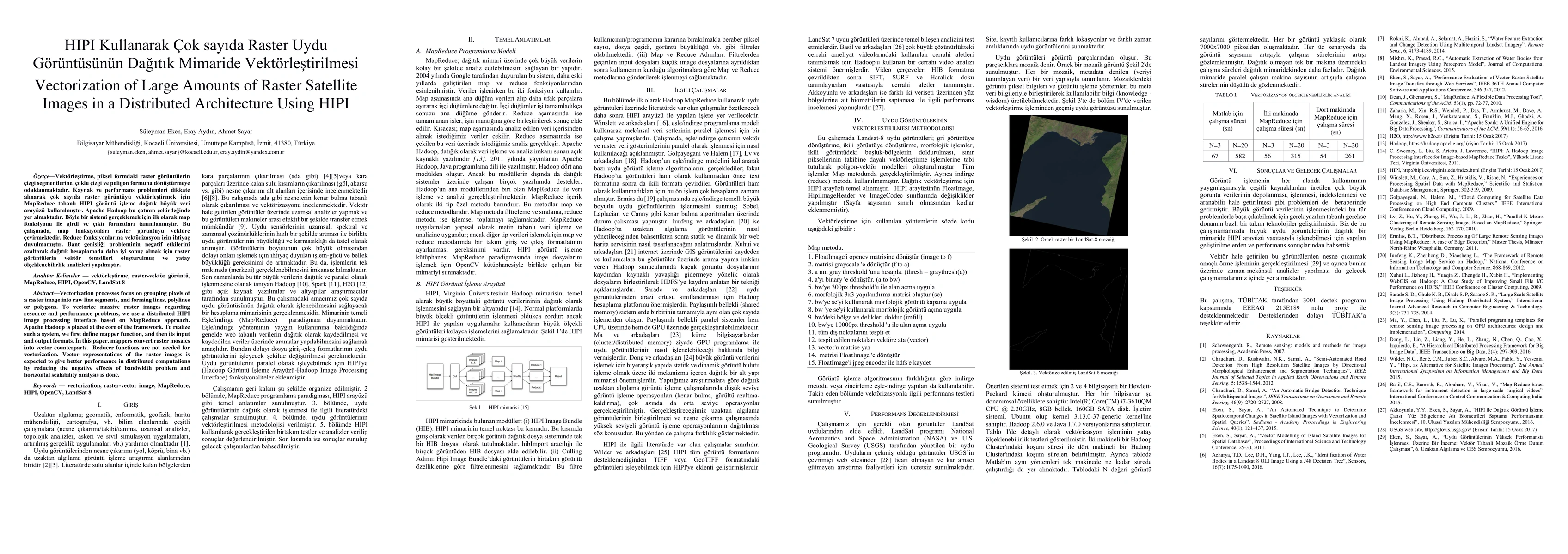
Vectorization process focus on grouping pixels of a raster image into raw line segments, and forming lines, polylines or poligons. To vectorize massive raster images regarding resource and performane problems, weuse a distributed HIPI image processing interface based on MapReduce approach. Apache Hadoop is placed at the core of the framework. To realize such a system, we first define mapper function, and then its input and output formats. In this paper, mappers convert raster mosaics into vector counterparts. Reduc functions are not needed for vectorization. Vector representations of raster images is expected to give better performance in distributed computations by reducing the negative effects of bandwidth problem and horizontal scalability analysis is done.
AI Key Findings
Get AI-generated insights about this paper's methodology, results, and significance.
Paper Details
PDF Preview
Key Terms
Citation Network
Current paper (gray), citations (green), references (blue)
Display is limited for performance on very large graphs.
Similar Papers
Found 4 papersMARVEL: Raster Manga Vectorization via Primitive-wise Deep Reinforcement Learning
Xuefeng Liu, Jianwei Niu, Hao Su et al.
Large-scale Building Damage Assessment using a Novel Hierarchical Transformer Architecture on Satellite Images
Ali Mahdavi-Amiri, Ali Mostafavi, Cheng-Chun Lee et al.
No citations found for this paper.

Comments (0)