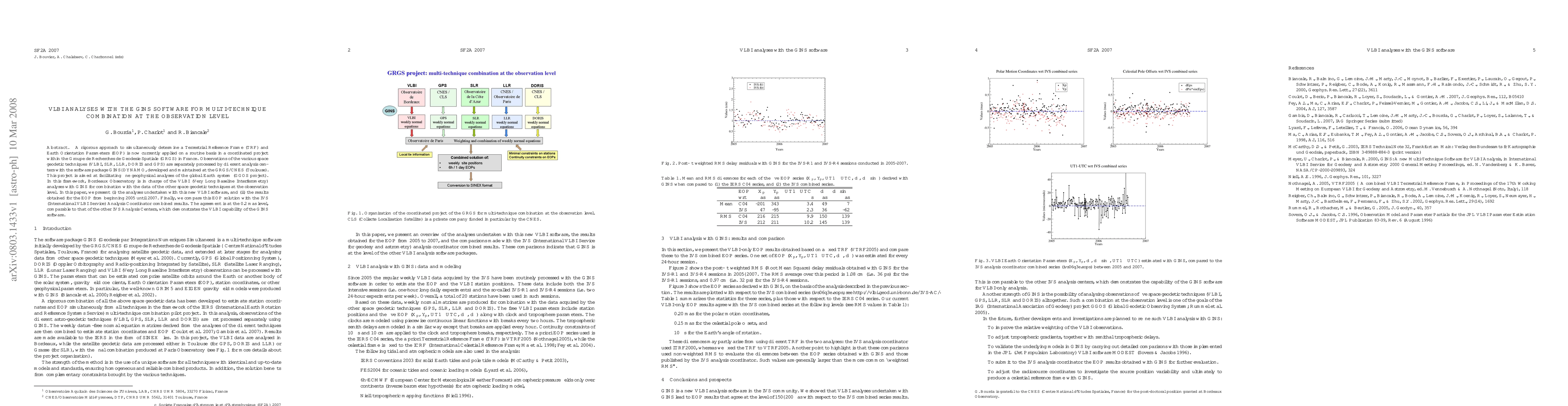
VLBI analyses with the GINS software for multi-technique combination at the observation level
Publication
Metrics
AI Quick Summary
This paper presents VLBI analyses using the GINS software for combining various space geodetic techniques, achieving Earth Orientation Parameters (EOP) with agreement at the 0.2 mas level, comparable to the IVS Analysis Coordinator results, demonstrating the GINS software's effectiveness.
Paper Preview
Abstract
A rigorous approach to simultaneously determine a Terrestrial Reference Frame (TRF) and Earth Orientation Parameters (EOP) is now currently applied on a routine basis in a coordinated project within the Groupe de Recherches de G\'eod\'esie Spatiale (GRGS) in France. Observations of the various space geodetic techniques (VLBI, SLR, LLR, DORIS and GPS) are separately processed by different analysis centers with the software package GINS-DYNAMO, developed and maintained at the GRGS/CNES (Toulouse). This project is aimed at facilitating fine geophysical analyses of the global Earth system (GGOS project). In this framework, Bordeaux Observatory is in charge of the VLBI (Very Long Baseline Interferometry) analyses with GINS for combination with the data of the other space geodetic techniques at the observation level. In this paper, we present (i) the analyses undertaken with this new VLBI software, and (ii) the results obtained for the EOP from beginning 2005 until 2007. Finally, we compare this EOP solution with the IVS (International VLBI Service) Analysis Coordinator combined results. The agreement is at the 0.2 mas level, comparable to that of the other IVS Analysis Centers, which demonstrates the VLBI capability of the GINS software.
AI Key Findings
Get AI-generated insights about this paper's methodology, results, significance, and more — seven facets brought into focus.
Impact
Paper Details
PDF Preview
Key Terms
Citation Network
Current paper (gray), citations (green), references (blue)
Display is limited for performance on very large graphs.
Discussion 0