Weeds are one of the major reasons for crop yield loss but current weeding
practices fail to manage weeds in an efficient and targeted manner. Effective
weed management is especially important for crops with high worldwide
production such as maize, to maximize crop yield for meeting increasing global
demands. Advances in near-sensing and computer vision enable the development of
new tools for weed management. Specifically, state-of-the-art segmentation
models, coupled with novel sensing technologies, can facilitate timely and
accurate weeding and monitoring systems. However, learning-based approaches
require annotated data and show a lack of generalization to aerial imaging for
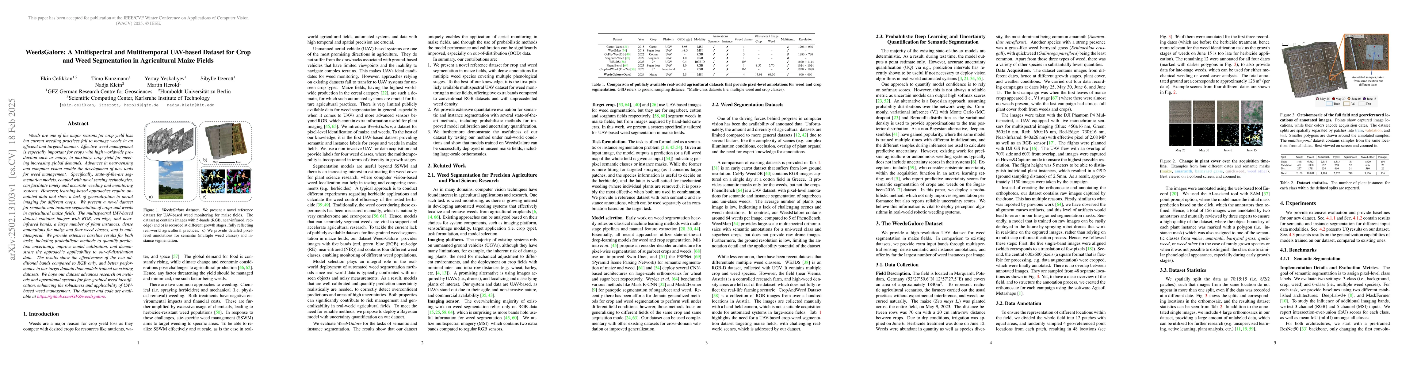
different crops. We present a novel dataset for semantic and instance
segmentation of crops and weeds in agricultural maize fields. The multispectral
UAV-based dataset contains images with RGB, red-edge, and near-infrared bands,
a large number of plant instances, dense annotations for maize and four weed
classes, and is multitemporal. We provide extensive baseline results for both
tasks, including probabilistic methods to quantify prediction uncertainty,
improve model calibration, and demonstrate the approach's applicability to
out-of-distribution data. The results show the effectiveness of the two
additional bands compared to RGB only, and better performance in our target
domain than models trained on existing datasets. We hope our dataset advances
research on methods and operational systems for fine-grained weed
identification, enhancing the robustness and applicability of UAV-based weed
management. The dataset and code are available at
https://github.com/GFZ/weedsgalore
Discussion 0