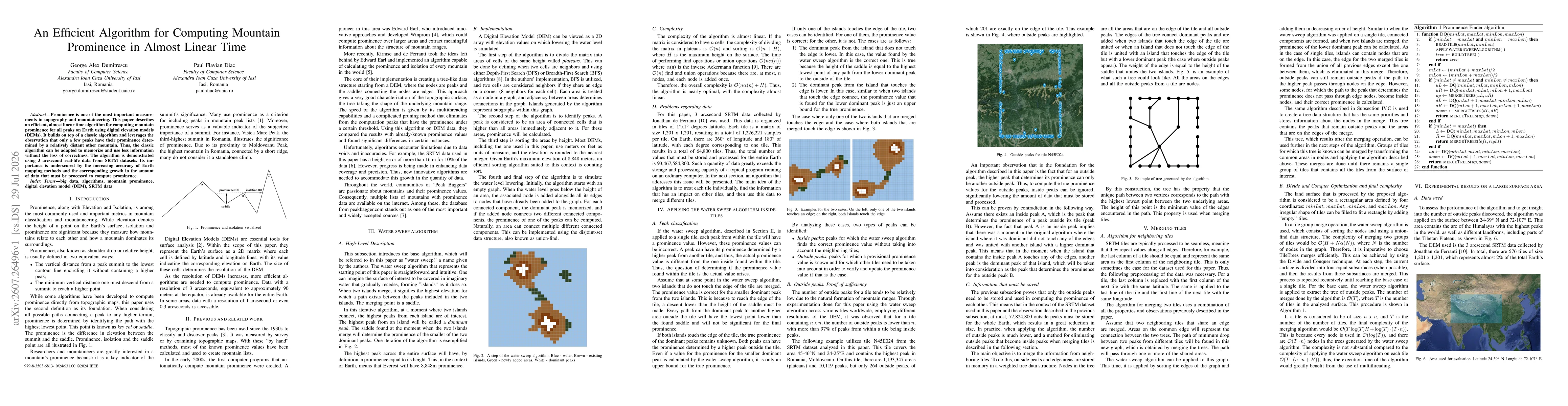
The authors implement a watersweep-based divide-and-conquer algorithm on 3 arcsecond SRTM DEM data to compute mountain prominence for all peaks. The DEM is partitioned into tiles; within each tile, a BFS-based plateau and peak identification is performed, followed by numbering of islands and merging via a union-find structure. The process memorizes outside peaks and uses a tree to track merges, enabling immediate prominence computation for peaks whose prominence is determined within a merge. The overall approach combines divide-and-conquer tiling, sorting by height, and multilevel merging to achieve near-linear performance on large Earth-scale surfaces.
Publication
Metrics
AI Quick Summary
The paper introduces an algorithm that computes mountain prominence for all peaks using digital elevation models in nearly linear time, by memorizing only essential comparisons and relying on the insight that most prominences depend on nearby peaks. Demonstrated on 3-arcsecond SRTM data, this method enables faster processing of the growing volume of Earth elevation data while maintaining correctness.
Quick Answers
What is "An Efficient Algorithm for Computing Mountain Prominence in Almost Linear Time" about?
The paper introduces an algorithm that computes mountain prominence for all peaks using digital elevation models in nearly linear time, by memorizing only essential comparisons and relying on the insight that most prominences depend on nearby peaks. Demonstrated on 3-arcsecond SRTM data, this method enables faster processing of the growing volume of Earth elevation data while maintaining correctness.
What methodology did the authors use?
The authors implement a watersweep-based divide-and-conquer algorithm on 3 arcsecond SRTM DEM data to compute mountain prominence for all peaks. The DEM is partitioned into tiles; within each tile, a BFS-based plateau and peak identification is performed, followed by numbering of islands and merging via a union-find structure. The process memorizes outside peaks and uses a tree to track merges,... More in Methodology →
What are the key results?
The algorithm computed prominences for all peaks in the Himalayas region (24-39N, 72-107E) in 11 minutes 7 seconds on a standard desktop, with most time spent processing individual tiles. — Average outside peaks per tile was 403, with a maximum of 1,034 outside peaks in a single tile, illustrating the distribution of prominence-determining peaks across tiles. More in Key Results →
Why is this work significant?
Provides an efficient, scalable method to compute mountain prominence globally using DEM data, enabling large-scale topographic analyses and mountain-list construction as Earth mapping resolutions increase. More in Significance →
What are the main limitations?
Performance results are reported for a specific region and DEM resolution; upper bounds on runtime for global 1-arcsecond data remain unquantified. — The evaluation emphasizes runtime over accuracy metrics; potential edge-case inaccuracies at tile boundaries or merge steps were not exhaustively characterized. More in Limitations →
Abstract
Prominence is one of the most important measurements in topography and mountaineering. This paper describes an efficient, almost linear time algorithm for computing mountain prominence for all peaks on Earth using digital elevation models (DEMs). It builds on top of a classic algorithm and leverages the observation that only a few peaks have their prominence determined by a relatively distant other mountain. Thus, the classic algorithm can be adapted to memorize and use less information without the loss of correctness. The algorithm is demonstrated using 3 arcsecond real-life data from SRTM datasets. Its importance is underscored by the increasing accuracy of Earth mapping methods and the corresponding growth in the amount of data that must be processed to compute prominence.
Key Findings, in focus
Seven facets of this paper, analysed and brought into focus by AI.
Provides an efficient, scalable method to compute mountain prominence globally using DEM data, enabling large-scale topographic analyses and mountain-list construction as Earth mapping resolutions increase.
- The algorithm computed prominences for all peaks in the Himalayas region (24-39N, 72-107E) in 11 minutes 7 seconds on a standard desktop, with most time spent processing individual tiles.
- Average outside peaks per tile was 403, with a maximum of 1,034 outside peaks in a single tile, illustrating the distribution of prominence-determining peaks across tiles.
- Initial surface contained 16,529,067 total peaks; after merging, 13,333 outside peaks remained, showing most peaks have their prominence determined within the analyzed surface.
- The method demonstrated near-linear performance characteristics and potential for multi-threading to further reduce runtime on higher-resolution DEMs.
Provides an efficient, scalable method to compute mountain prominence globally using DEM data, enabling large-scale topographic analyses and mountain-list construction as Earth mapping resolutions increase.
A divide-and-conquer watersweep algorithm on tiled DEMs with union-find merging that directly exposes prominence values during merges, avoiding full post-pruning and enabling near-linear time computation for all peaks on Earth.
Introduces a tile-based watersweep framework that memorizes outside peaks and leverages a merge-tree structure to compute prominences incrementally, contrasting with prior divide-tree plus pruning approaches that do not provide immediate per-peak prominence values during merging.
- Performance results are reported for a specific region and DEM resolution; upper bounds on runtime for global 1-arcsecond data remain unquantified.
- The evaluation emphasizes runtime over accuracy metrics; potential edge-case inaccuracies at tile boundaries or merge steps were not exhaustively characterized.
- Single-machine, single- or limited-thread experiments may not reflect scalability on distributed or high-performance computing environments.
- Explore multi-threading optimization and processing of higher-resolution DEMs (1 arcsecond or finer).
- Extend evaluation to other regions and globally to quantify scalability and robustness across varied terrain.
- Investigate adaptive tile partitioning to balance workload and reduce edge-case overhead during merging.
Discussion 0