Publication

Published: Sep 01, 2025
Categories: cs.HC

Metrics

Source: ArXiv

Quick Actions

View PDF

Quick Answers

What methodology did the authors use?

The research employs a remote sensing approach using Google Earth Engine to analyze vegetation dynamics in protected areas. It involves processing multi-temporal satellite data to compute NDVI values, assess forest cover changes, and evaluate the effectiveness of conservation strategies. More in Methodology →

What are the key results?

The study identifies significant vegetation dynamics in Spain's National Park Network over long-term periods. — Protected areas show varying degrees of success in maintaining forest cover, with some facing deforestation challenges. More in Key Results →

Why is this work significant?

This research contributes to understanding the impact of conservation strategies on vegetation dynamics, providing insights for sustainable biodiversity management and policy-making. More in Significance →

What are the main limitations?

The analysis is constrained by the availability and resolution of satellite data. — The methodology may not fully account for ground-truthing and local ecological variability. More in Limitations →

Paper Preview

Abstract

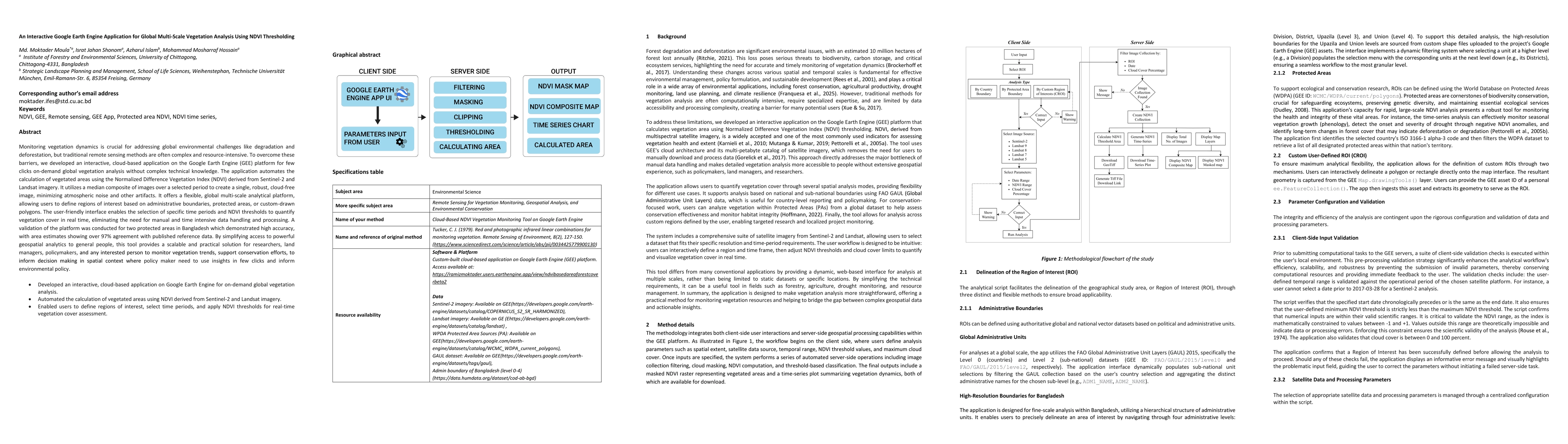
Monitoring vegetation dynamics is crucial for addressing global environmental challenges like degradation and deforestation, but traditional remote sensing methods are often complex and resource-intensive. To overcome these barriers, we developed an interactive, cloud-based application on the Google Earth Engine (GEE) platform for few clicks on-demand global vegetation analysis without complex technical knowledge. The application automates the calculation of vegetated areas using the Normalized Difference Vegetation Index (NDVI) derived from Sentinel-2 and Landsat imagery. It utilizes a median composite of images over a selected period to create a single, robust, cloud-free image, minimizing atmospheric noise and other artifacts. It offers a flexible, global multi-scale analytical platform, allowing users to define regions of interest based on administrative boundaries, protected areas, or custom-drawn polygons. The user-friendly interface enables the selection of specific time periods and NDVI thresholds to quantify vegetation cover in real time, eliminating the need for manual and time intensive data handling and processing. A validation of the platform was conducted for two protected areas in Bangladesh which demonstrated high accuracy, with area estimates showing over 97% agreement with published reference data. By simplifying access to powerful geospatial analytics to general people, this tool provides a scalable and practical solution for researchers, land managers, policymakers, and any interested person to monitor vegetation trends, support conservation efforts, to inform decision making in spatial context where policy maker need to use insights in few clicks and inform environmental policy.

AI Key Findings

Generated Dec 01, 2025

Methodology — What approach did the authors take?

The research employs a remote sensing approach using Google Earth Engine to analyze vegetation dynamics in protected areas. It involves processing multi-temporal satellite data to compute NDVI values, assess forest cover changes, and evaluate the effectiveness of conservation strategies.

Key Results — What are the main findings?

  • The study identifies significant vegetation dynamics in Spain's National Park Network over long-term periods.
  • Protected areas show varying degrees of success in maintaining forest cover, with some facing deforestation challenges.
  • NDVI data from Landsat satellites effectively captures ecological responses to environmental changes.

Significance — Why does this research matter?

This research contributes to understanding the impact of conservation strategies on vegetation dynamics, providing insights for sustainable biodiversity management and policy-making.

Technical Contribution — What is the technical contribution?

The work demonstrates the application of Google Earth Engine for large-scale, planetary-scale geospatial analysis, enhancing the accessibility and efficiency of environmental monitoring.

Novelty — What is new about this work?

This study combines long-term NDVI analysis with protected area management evaluation, offering a novel approach to assess the ecological effectiveness of conservation strategies using remote sensing data.

Limitations — What are the limitations of this study?

  • The analysis is constrained by the availability and resolution of satellite data.
  • The methodology may not fully account for ground-truthing and local ecological variability.

Future Work — What did the authors propose for future work?

  • Integration of higher-resolution satellite data for more accurate analysis.
  • Expanding the study to include socio-economic factors influencing conservation outcomes.
  • Developing predictive models to forecast vegetation changes under different management scenarios.

Paper Details

Paper ID: 2509.01628
Categories:
cs.HC

How to Cite This Paper

BibTeX
@article{islam2025an,
  title         = {An Interactive Google Earth Engine Application for Global Multi-Scale
  Vegetation Analysis Using NDVI Thresholding},
  author        = {Islam, Azharul and Shonom, Israt Jahan and Moula, Md. Moktader and others},
  year          = {2025},
  eprint        = {2509.01628},
  archivePrefix = {arXiv},
  primaryClass  = {cs.HC},
}
APA 7
Islam, A., Shonom, I., Moula, M., & Hossain, M. (2025). An Interactive Google Earth Engine Application for Global Multi-Scale
  Vegetation Analysis Using NDVI Thresholding. arXiv. https://arxiv.org/abs/2509.01628
MLA 9
Islam, Azharul, et al. "An Interactive Google Earth Engine Application for Global Multi-Scale
  Vegetation Analysis Using NDVI Thresholding." arXiv, 2025, arxiv.org/abs/2509.01628.

Comments (0)

This website uses cookies to ensure you get the best experience. Learn more