ArxivLens

Publication

Published: Apr 08, 2026
Categories: cs.CV

Metrics

Source: ArXiv

Quick Answers

What methodology did the authors use?

The study adds a lightweight quantile regression head to a pretrained 3D‑UNet encoder–decoder, fine‑tunes it on GEDI satellite data, and evaluates uncertainty via empirical coverage, prediction‑interval coverage probability (PICP), and mean prediction‑interval width (MPIW). More in Methodology →

What are the key results?

The quantile‑regression model achieves higher PICP and narrower intervals than the baseline Lang et al. model, indicating better calibrated uncertainty. — It captures right‑skewed prediction‑interval asymmetry and shows higher uncertainty in challenging conditions such as forest borders and steep slopes. More in Key Results →

Why is this work significant?

Providing well‑calibrated, asymmetric uncertainty estimates for canopy height supports risk‑aware biomass and carbon stock assessments, informing policy and forest management decisions. More in Significance →

What are the main limitations?

Empirical coverage varies across target height bins, with under‑estimation for tall trees and over‑estimation for small trees. — High uncertainty in steep terrain remains largely driven by noisy GEDI labels and geolocation errors. More in Limitations →

Paper Preview

Abstract

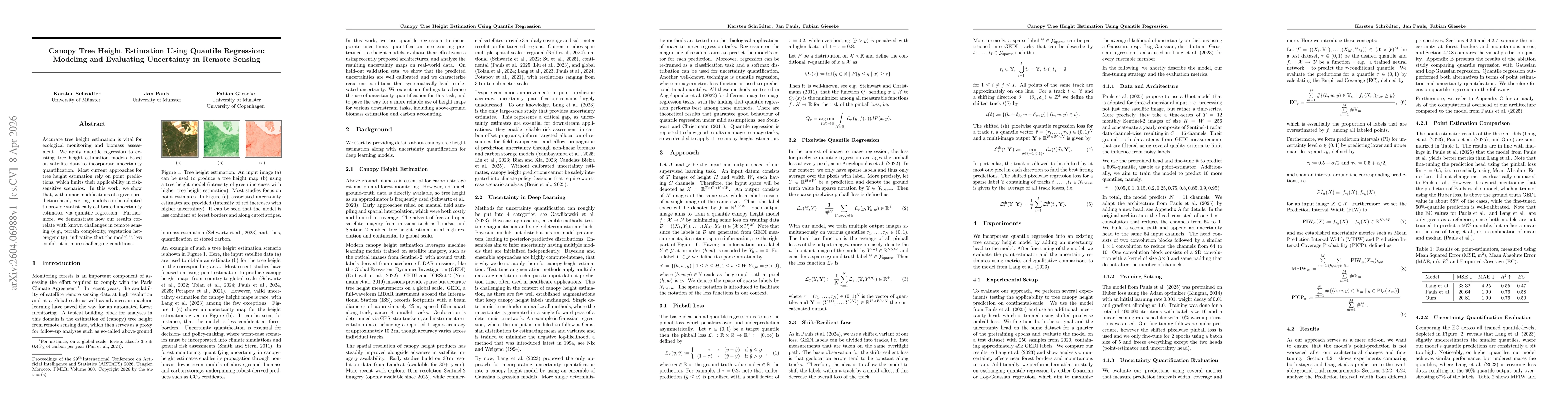
Accurate tree height estimation is vital for ecological monitoring and biomass assessment. We apply quantile regression to existing tree height estimation models based on satellite data to incorporate uncertainty quantification. Most current approaches for tree height estimation rely on point predictions, which limits their applicability in risk-sensitive scenarios. In this work, we show that, with minor modifications of a given prediction head, existing models can be adapted to provide statistically calibrated uncertainty estimates via quantile regression. Furthermore, we demonstrate how our results correlate with known challenges in remote sensing (e.g., terrain complexity, vegetation heterogeneity), indicating that the model is less confident in more challenging conditions.

Key Findings, in focus

Seven facets of this paper, analysed and brought into focus by AI.

AI-generated · verify against source Generated Apr 09, 2026
In focus · one-line synthesis

Providing well‑calibrated, asymmetric uncertainty estimates for canopy height supports risk‑aware biomass and carbon stock assessments, informing policy and forest management decisions.

01
MethodologyHow they did it

The study adds a lightweight quantile regression head to a pretrained 3D‑UNet encoder–decoder, fine‑tunes it on GEDI satellite data, and evaluates uncertainty via empirical coverage, prediction‑interval coverage probability (PICP), and mean prediction‑interval width (MPIW).

02
ResultsWhat they found
  • The quantile‑regression model achieves higher PICP and narrower intervals than the baseline Lang et al. model, indicating better calibrated uncertainty.
  • It captures right‑skewed prediction‑interval asymmetry and shows higher uncertainty in challenging conditions such as forest borders and steep slopes.
  • A shift‑resilient loss further reduces overconfidence at forest borders, improving calibration without extra computational cost.
03
SignificanceWhy it matters

Providing well‑calibrated, asymmetric uncertainty estimates for canopy height supports risk‑aware biomass and carbon stock assessments, informing policy and forest management decisions.

04
Technical ContributionsWhat's new technically

A lightweight quantile‑regression head with shift‑resilient loss for a pretrained 3D‑UNet, enabling calibrated, asymmetric uncertainty estimation with <10% extra inference time.

05
NoveltyWhat sets it apart

First application of quantile regression to canopy height estimation that achieves statistically calibrated, asymmetric uncertainty while outperforming Gaussian and log‑Gaussian baselines with minimal overhead.

06
LimitationsWhat to be cautious about
  • Empirical coverage varies across target height bins, with under‑estimation for tall trees and over‑estimation for small trees.
  • High uncertainty in steep terrain remains largely driven by noisy GEDI labels and geolocation errors.
07
Future WorkWhere it goes next
  • Develop automated detection and removal of noisy GEDI labels using high‑confidence predictions.
  • Extend the approach to multi‑sensor fusion and temporal dynamics for more robust height estimation.

Paper Details

Paper ID: 2604.06988
Comments: Accepted to AISTATS 2026
Categories:
cs.CV

How to Cite This Paper

Reference manager: RIS EndNote


Discussion 0

This website uses cookies to ensure you get the best experience. Learn more