The research employs a framework combining geometric operations with kernel density estimation to identify high-similarity clusters in spatial data. It uses Shapely2.0 for efficient geometric processing and Triton for parallel computation of similarity metrics, validated through experiments on three datasets with varying sizes and complexities.
Efficient Identification of High Similarity Clusters in Polygon Datasets
Publication
Metrics
Quick Answers
What methodology did the authors use?
The research employs a framework combining geometric operations with kernel density estimation to identify high-similarity clusters in spatial data. It uses Shapely2.0 for efficient geometric processing and Triton for parallel computation of similarity metrics, validated through experiments on three datasets with varying sizes and complexities. More in Methodology →
What are the key results?
The framework achieves efficient identification of high-similarity clusters with significantly reduced computational overhead compared to traditional methods. — Results show that larger datasets require proportionally more processing to achieve the same recall levels, highlighting scalability challenges. More in Key Results →
Why is this work significant?
This research provides an optimized solution for identifying high-similarity spatial clusters, which is critical for applications in geographic information systems, urban planning, and environmental monitoring. Its efficient resource allocation could lead to more scalable and practical implementations in large-scale spatial analysis. More in Significance →
What are the main limitations?
The framework's performance is highly dependent on dataset size and complexity, which may limit its applicability to smaller or less complex datasets. — The integration of Triton requires careful optimization to fully leverage its parallel processing capabilities, which could be a barrier to adoption. More in Limitations →
Abstract
Advancements in tools like Shapely 2.0 and Triton can significantly improve the efficiency of spatial similarity computations by enabling faster and more scalable geometric operations. However, for extremely large datasets, these optimizations may face challenges due to the sheer volume of computations required. To address this, we propose a framework that reduces the number of clusters requiring verification, thereby decreasing the computational load on these systems. The framework integrates dynamic similarity index thresholding, supervised scheduling, and recall-constrained optimization to efficiently identify clusters with the highest spatial similarity while meeting user-defined precision and recall requirements. By leveraging Kernel Density Estimation (KDE) to dynamically determine similarity thresholds and machine learning models to prioritize clusters, our approach achieves substantial reductions in computational cost without sacrificing accuracy. Experimental results demonstrate the scalability and effectiveness of the method, offering a practical solution for large-scale geospatial analysis.
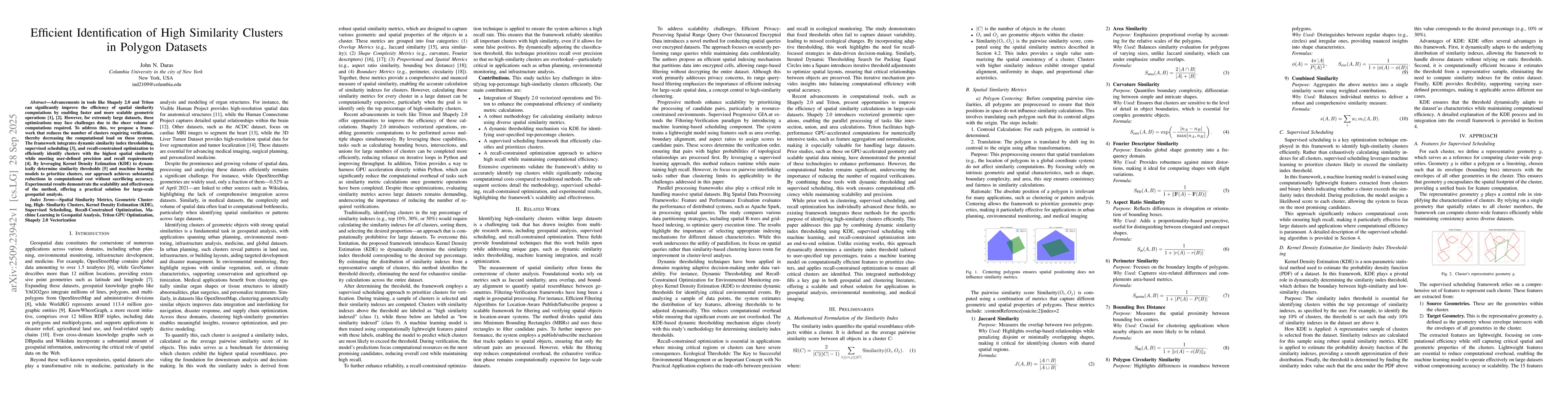
Key Findings, in focus
Seven facets of this paper, analysed and brought into focus by AI.
This research provides an optimized solution for identifying high-similarity spatial clusters, which is critical for applications in geographic information systems, urban planning, and environmental monitoring.
- The framework achieves efficient identification of high-similarity clusters with significantly reduced computational overhead compared to traditional methods.
- Results show that larger datasets require proportionally more processing to achieve the same recall levels, highlighting scalability challenges.
- The approach demonstrates adaptability in prioritizing computational resources based on targeted coverage percentages.
This research provides an optimized solution for identifying high-similarity spatial clusters, which is critical for applications in geographic information systems, urban planning, and environmental monitoring. Its efficient resource allocation could lead to more scalable and practical implementations in large-scale spatial analysis.
The technical contribution lies in the integration of vectorized geometric operations with parallel similarity computation, enabling efficient and scalable identification of high-similarity spatial clusters.
This work introduces a novel combination of Shapely2.0's geometric optimizations and Triton's parallel processing capabilities, offering a unique approach to spatial clustering that addresses both computational efficiency and scalability challenges.
- The framework's performance is highly dependent on dataset size and complexity, which may limit its applicability to smaller or less complex datasets.
- The integration of Triton requires careful optimization to fully leverage its parallel processing capabilities, which could be a barrier to adoption.
- Exploring hybrid approaches that combine Shapely2.0 with Triton for even greater performance gains in large-scale spatial analysis.
- Investigating the application of this framework to dynamic or real-time spatial data processing scenarios.
- Enhancing the framework's ability to handle even larger datasets by further optimizing computational resource allocation.
Discussion 0