01
MethodologyHow they did it
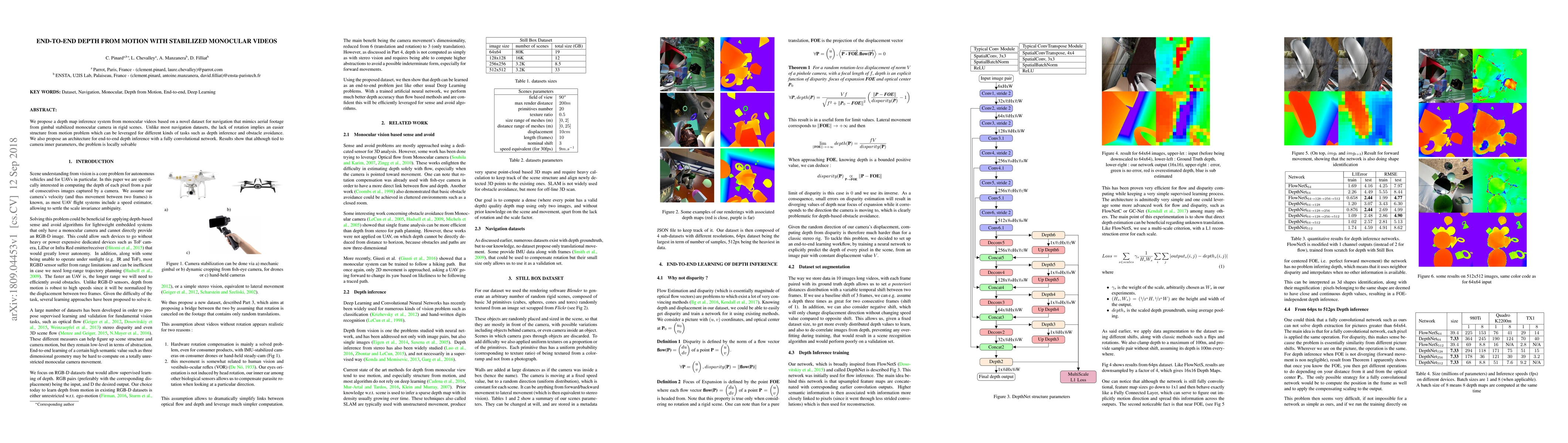
The research proposes an end-to-end depth inference system from monocular videos using a novel dataset for navigation, simulating aerial footage from a gimbal-stabilized monocular camera in rigid scenes. The dataset is composed of four sub-datasets with different resolutions, with 64px being the largest in terms of the number of samples.
Discussion 0