The study introduces a SAR framework that couples mission planning and execution phases with a mixed-integer linear programming (MILP) optimizer. It integrates GNSS-derived digital elevation models (DEMs) processed via Blender/GIS to compute terrain slopes and obstacles, which feed into motion energy models for both wheeled and quadruped robots. The framework evaluates fleet size, path, and communication constraints through analytical calculations and Gazebo simulations.
Publication
Metrics
Quick Answers
What methodology did the authors use?
The study introduces a SAR framework that couples mission planning and execution phases with a mixed-integer linear programming (MILP) optimizer. It integrates GNSS-derived digital elevation models (DEMs) processed via Blender/GIS to compute terrain slopes and obstacles, which feed into motion energy models for both wheeled and quadruped robots. The framework evaluates fleet size, path, and communication constraints through analytical calculations... More in Methodology →
What are the key results?
Trade‑offs between robot count, explored area, and response time are quantified, showing minimal fleet sizes for given coverage targets. — Terrain elevation data increases energy consumption and response time; wheeled robots require fewer units than quadrupeds to meet the same mission criteria. More in Key Results →
Why is this work significant?
By optimizing robot deployment and paths while accounting for terrain and communication constraints, the framework enhances the effectiveness of cellular‑enabled robotic fleets in search‑and‑rescue operations, enabling faster victim localization and safer exploration of hazardous environments. More in Significance →
What are the main limitations?
Energy models are based on limited real‑world tests and may not capture dynamic obstacles or extreme terrain variations. — MILP scalability grows exponentially with fleet size, planning horizon, and grid resolution, limiting applicability to very large or complex scenarios. More in Limitations →
Abstract
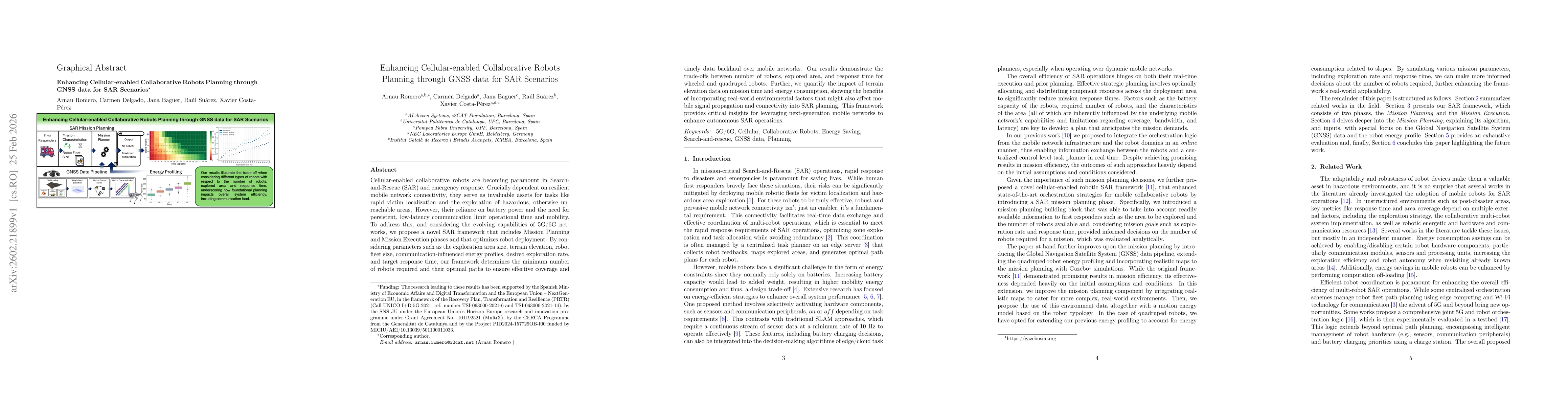
Cellular-enabled collaborative robots are becoming paramount in Search-and-Rescue (SAR) and emergency response. Crucially dependent on resilient mobile network connectivity, they serve as invaluable assets for tasks like rapid victim localization and the exploration of hazardous, otherwise unreachable areas. However, their reliance on battery power and the need for persistent, low-latency communication limit operational time and mobility. To address this, and considering the evolving capabilities of 5G/6G networks, we propose a novel SAR framework that includes Mission Planning and Mission Execution phases and that optimizes robot deployment. By considering parameters such as the exploration area size, terrain elevation, robot fleet size, communication-influenced energy profiles, desired exploration rate, and target response time, our framework determines the minimum number of robots required and their optimal paths to ensure effective coverage and timely data backhaul over mobile networks. Our results demonstrate the trade-offs between number of robots, explored area, and response time for wheeled and quadruped robots. Further, we quantify the impact of terrain elevation data on mission time and energy consumption, showing the benefits of incorporating real-world environmental factors that might also affect mobile signal propagation and connectivity into SAR planning. This framework provides critical insights for leveraging next-generation mobile networks to enhance autonomous SAR operations.
Key Findings, in focus
Seven facets of this paper, analysed and brought into focus by AI.
By optimizing robot deployment and paths while accounting for terrain and communication constraints, the framework enhances the effectiveness of cellular‑enabled robotic fleets in search‑and‑rescue operations, enabling faster victim localization and safer exploration of hazardous environments.
- Trade‑offs between robot count, explored area, and response time are quantified, showing minimal fleet sizes for given coverage targets.
- Terrain elevation data increases energy consumption and response time; wheeled robots require fewer units than quadrupeds to meet the same mission criteria.
- Incorporating GNSS data into planning reduces over‑estimation of coverage and improves mission efficiency.
- The MILP solver achieves near‑real‑time offline planning for small to medium areas, with runtimes under a few seconds.
- Energy profiling reveals a 10–30% increase in consumption on uneven terrain, validating the need for terrain‑aware planning.
By optimizing robot deployment and paths while accounting for terrain and communication constraints, the framework enhances the effectiveness of cellular‑enabled robotic fleets in search‑and‑rescue operations, enabling faster victim localization and safer exploration of hazardous environments.
A novel MILP‑based mission planner that fuses GNSS‑derived terrain data, robot energy profiles, and cellular communication constraints to compute optimal fleet sizes and paths for SAR missions.
This work uniquely combines GNSS‑based motion energy modeling with MILP optimization for cellular‑enabled collaborative robots in SAR, demonstrating terrain‑aware planning benefits not addressed in prior studies.
- Energy models are based on limited real‑world tests and may not capture dynamic obstacles or extreme terrain variations.
- MILP scalability grows exponentially with fleet size, planning horizon, and grid resolution, limiting applicability to very large or complex scenarios.
- Extend the framework to support dynamic obstacle avoidance and real‑time replanning under changing network conditions.
- Incorporate higher‑resolution surface data and machine‑learning‑based energy prediction to improve accuracy and reduce computational load.
Discussion 0