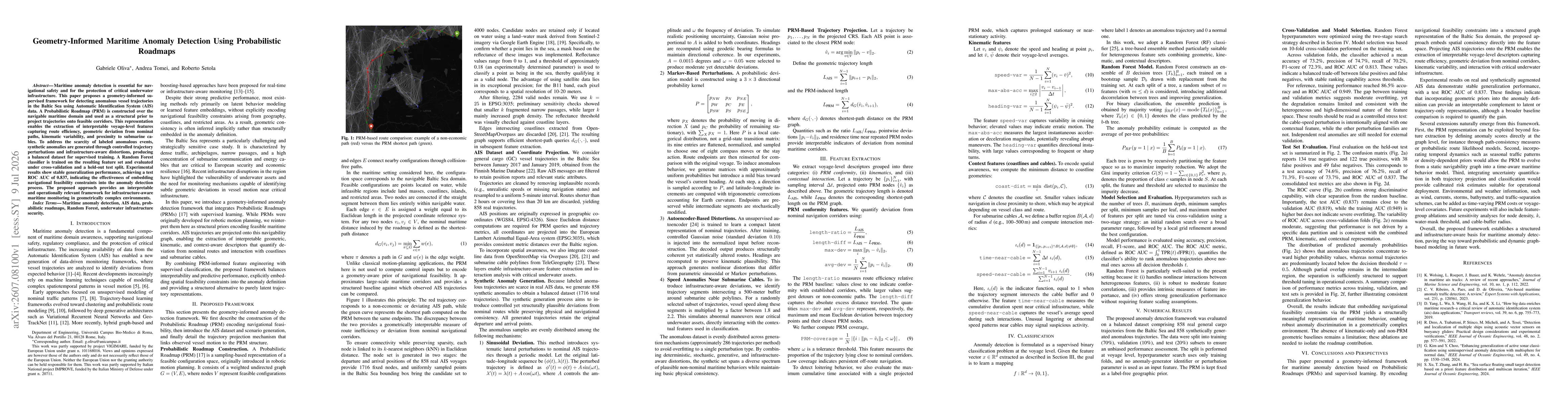
The study proposes a geometry-informed anomaly detection framework that builds a Probabilistic Roadmap (PRM) over the navigable Baltic Sea domain to encode navigational feasibility. AIS trajectories are projected onto the PRM to derive interpretable voyage-level features capturing route efficiency, geometric deviation, kinematic variability, and proximity to cables. Synthetic anomalies are generated through controlled trajectory perturbations and infrastructure-aware distortions to balance the dataset. A Random Forest classifier is trained on the engineered features and evaluated with 10-fold cross-validation and a held-out test set.
Geometry-Informed Maritime Anomaly Detection Using Probabilistic Roadmaps
Publication
Metrics
Quick Answers
What methodology did the authors use?
The study proposes a geometry-informed anomaly detection framework that builds a Probabilistic Roadmap (PRM) over the navigable Baltic Sea domain to encode navigational feasibility. AIS trajectories are projected onto the PRM to derive interpretable voyage-level features capturing route efficiency, geometric deviation, kinematic variability, and proximity to cables. Synthetic anomalies are generated through controlled trajectory perturbations and infrastructure-aware distortions to balance... More in Methodology →
What are the key results?
Test ROC AUC of 0.837 on the held-out test set demonstrates robust anomaly discrimination when incorporating geometric priors via the PRM. — Cross-validation ROC AUC of 0.813 indicates stable ranking performance across folds with moderate variance. More in Key Results →
Why is this work significant?
Embedding navigational feasibility constraints through a PRM provides an interpretable, geometry-aware basis for maritime anomaly detection, enabling detection of deviations from feasible corridors and interactions with infrastructure in geometrically complex regions like the Baltic Sea. More in Significance →
What are the main limitations?
Absence of baseline comparisons against purely kinematic or non-PRM geometric methods to isolate the PRM contribution. — Reliance on synthetic anomaly generation; external validation with real anomalous trajectories remains needed. More in Limitations →
Abstract
Maritime anomaly detection is essential for navigational safety and for the protection of critical underwater infrastructure. This paper proposes a geometry-informed supervised framework for detecting anomalous vessel trajectories in the Baltic Sea using Automatic Identification System (AIS) data. A Probabilistic Roadmap (PRM) is constructed over the navigable maritime domain and used as a structural prior to project trajectories onto feasible corridors. This representation enables the extraction of interpretable voyage-level features capturing route efficiency, geometric deviation from nominal paths, kinematic variability, and proximity to submarine cables. To address the scarcity of labeled anomalous events, synthetic anomalies are generated through controlled trajectory perturbations and infrastructure-aware distortions, producing a balanced dataset for supervised training. A Random Forest classifier is trained on the resulting feature set and evaluated under cross-validation and a held-out test split. Experimental results show stable generalization performance, achieving a test ROC AUC of 0.837, indicating the effectiveness of embedding navigational feasibility constraints into the anomaly detection process. The proposed approach provides an interpretable and operationally relevant framework for infrastructure-aware maritime monitoring in geometrically complex environments.
Key Findings, in focus
Seven facets of this paper, analysed and brought into focus by AI.
Embedding navigational feasibility constraints through a PRM provides an interpretable, geometry-aware basis for maritime anomaly detection, enabling detection of deviations from feasible corridors and interactions with infrastructure in geometrically complex regions like the Baltic Sea.
- Test ROC AUC of 0.837 on the held-out test set demonstrates robust anomaly discrimination when incorporating geometric priors via the PRM.
- Cross-validation ROC AUC of 0.813 indicates stable ranking performance across folds with moderate variance.
- Test metrics show accuracy 74.6%, precision 76.2%, recall 71.3%, and F1-score 73.7%, confirming balanced performance between false positives and false negatives.
Embedding navigational feasibility constraints through a PRM provides an interpretable, geometry-aware basis for maritime anomaly detection, enabling detection of deviations from feasible corridors and interactions with infrastructure in geometrically complex regions like the Baltic Sea.
Introduction of a PRM-based geometric prior for maritime anomaly detection, coupled with interpretable voyage-level features and a supervised Random Forest classifier, enabling structure-aware anomaly discrimination in a geometry-rich environment.
First integration of PRMs as navigational feasibility priors to project AIS trajectories for anomaly detection in maritime domains, capturing route efficiency, geometric deviation, and infrastructure interactions within a supervised learning framework.
- Absence of baseline comparisons against purely kinematic or non-PRM geometric methods to isolate the PRM contribution.
- Reliance on synthetic anomaly generation; external validation with real anomalous trajectories remains needed.
- Develop graph-level anomaly scores (e.g., path consistency, likelihoods) directly on the PRM.
- Incorporate temporal dynamics to evolve the PRM with seasonal patterns and density-dependent priors.
- Add uncertainty quantification for trajectory projection and classification to support calibrated risk estimates.
Discussion 0