01
MethodologyHow they did it
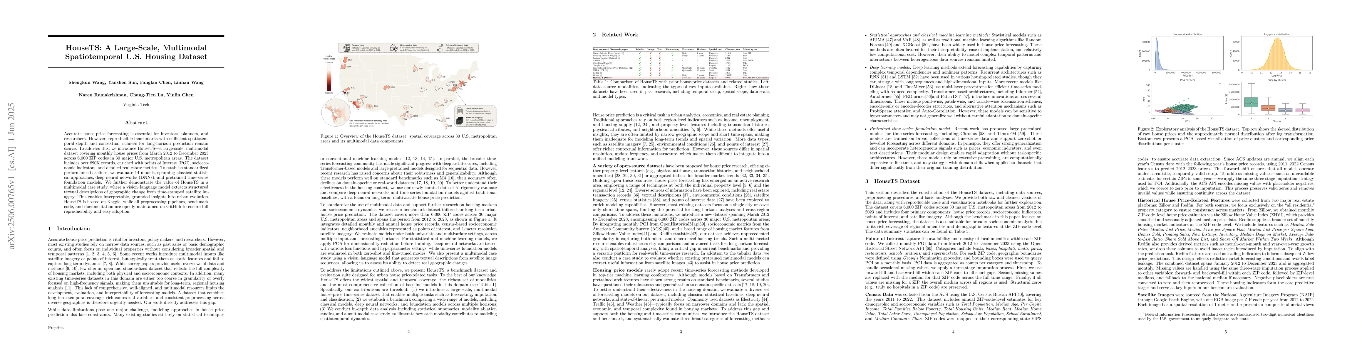
The research introduces HouseTS, a large-scale, multimodal U.S. housing dataset covering monthly house prices from 2012 to 2023 across 6,000 ZIP codes in 30 major metropolitan areas. The dataset includes over 890K records, enriched with Points of Interest (POI), socioeconomic indicators, and detailed real estate metrics. The dataset's performance is benchmarked using 14 models, spanning classical statistical approaches, deep neural networks (DNNs), and pretrained time-series foundation models.
Discussion 0