Investigating Spatial Error Structures in Continuous Raster Data
Publication
Metrics
AI Quick Summary
This study investigates spatial error structures in continuous raster data using a moving window approach to generate geographically weighted error diagnostics. It provides an alternative view of local error through correlation analysis and maps spatial surfaces of each type of error.
Paper Preview
Abstract
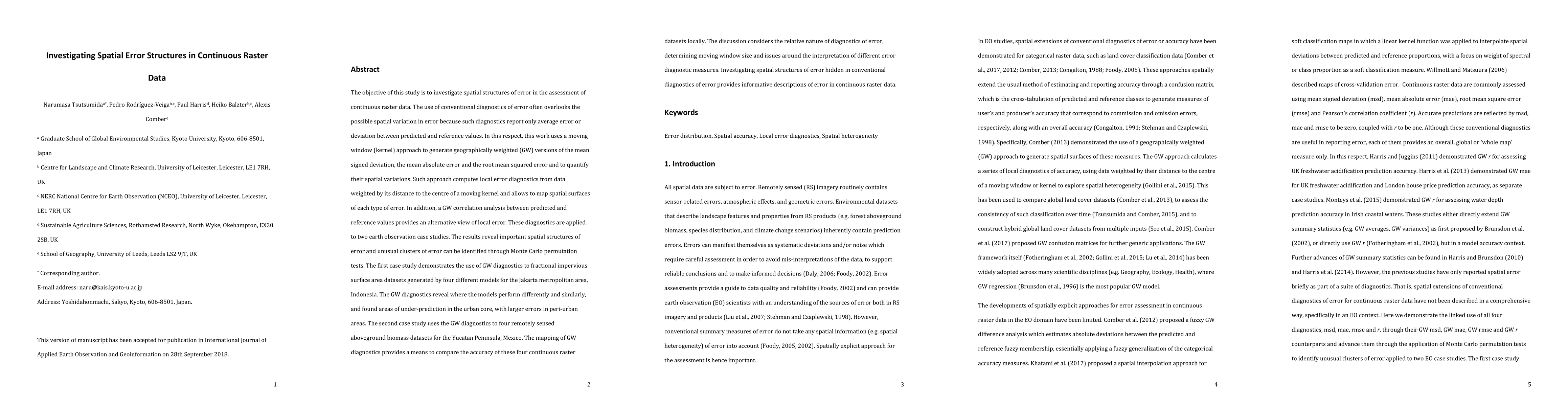
The objective of this study is to investigate spatial structures of error in the assessment of continuous raster data. The use of conventional diagnostics of error often overlooks the possible spatial variation in error because such diagnostics report only average error or deviation between predicted and reference values. In this respect, this work uses a moving window (kernel) approach to generate geographically weighted (GW) versions of the mean signed deviation, the mean absolute error and the root mean squared error and to quantify their spatial variations. Such approach computes local error diagnostics from data weighted by its distance to the centre of a moving kernel and allows to map spatial surfaces of each type of error. In addition, a GW correlation analysis between predicted and reference values provides an alternative view of local error. Full abstract can be found in the pdf.
AI Key Findings
Get AI-generated insights about this paper's methodology, results, significance, and more — seven facets brought into focus.
Impact
Paper Details
PDF Preview
Key Terms
Citation Network
Current paper (gray), citations (green), references (blue)
Display is limited for performance on very large graphs.
Discussion 0