Pavement Crack Detection Based on Mobile Laser Scanning Data
Publication
Metrics
AI Quick Summary
This paper proposes a new method for detecting pavement cracks using high-density laser point cloud data collected by a vehicle-borne laser scanning system. The method combines 3-D spatial information with digital image processing techniques to achieve high detection efficiency and precision, achieving an SM value of around 95.
Paper Preview
Abstract
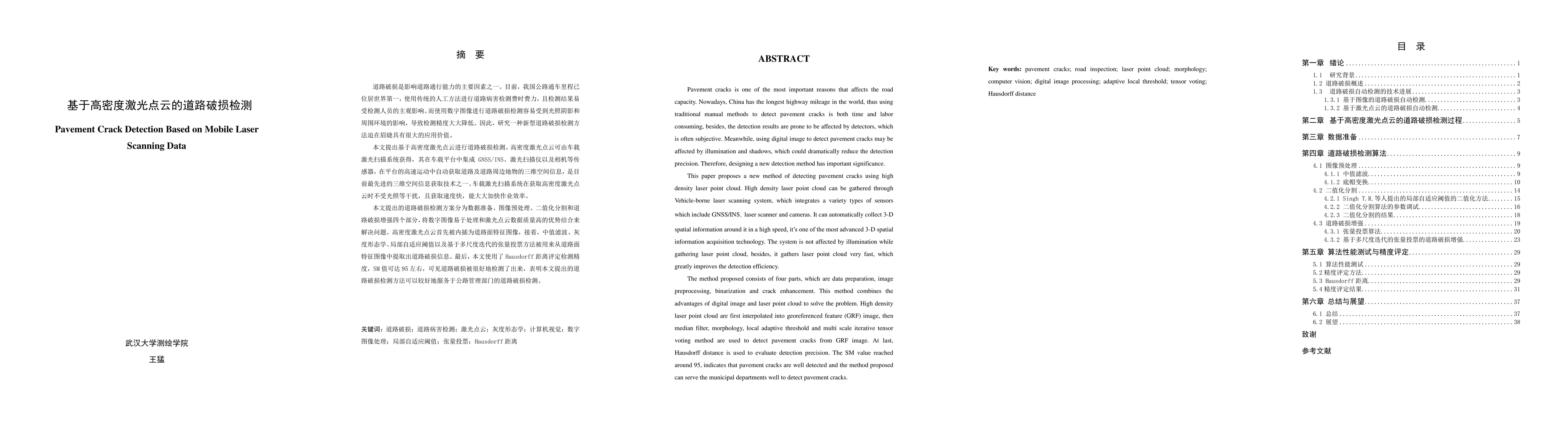
Pavement cracks is one of the most important reasons that affects the road capacity. Nowadays, China has the longest highway mileage in the world, thus using traditional manual methods to detect pavement cracks is both time and labor consuming, besides, the detection results are prone to be affected by detectors, which is often subjective. Meanwhile, using digital image to detect pavement cracks may be affected by illumination and shadows, which could dramatically reduce the detection precision. Therefore, designing a new detection method has important significance. This paper proposes a new method of detecting pavement cracks using high density laser point cloud. High density laser point cloud can be gathered through Vehicle-borne laser scanning system, which integrates a variety types of sensors which include GNSS/INS,laser scanner and cameras. It can automatically collect 3-D spatial information around it in a high speed,it's one of the most advanced 3-D spatial information acquisition technologies. The system is not affected by illumination while gathering laser point cloud, besides, it gathers laser point cloud very fast, which greatly improves the detection efficiency. The method proposed consists of four parts, which are data preparation, image preprocessing, binarization and crack enhancement. This method combines the advantages of digital image and laser point cloud to solve the problem. High density laser point cloud are first interpolated into georeferenced feature (GRF) image, then median filter, morphology, local adaptive threshold and multi scale iterative tensor voting method are used to detect pavement cracks from GRF image. At last, Hausdorff distance is used to evaluate detection precision. The SM value reached around 95, indicates that pavement cracks are well detected and the method proposed can serve the municipal departments well to detect pavement cracks.
OpenAlex
- Citations in OpenAlex
- 1
- Publication year
- 2018
- Access status
- Open access
Source: OpenAlex · Snapshot
AI Key Findings
Get AI-generated insights about this paper's methodology, results, significance, and more — seven facets brought into focus.
Impact
Paper Details
PDF Preview
Key Terms
Citation Network
Current paper (gray), citations (green), references (blue)
Display is limited for performance on very large graphs.
Discussion 0