Planted: a dataset for planted forest identification from multi-satellite time series
Publication
Metrics
AI Quick Summary
The paper introduces \PlantD, a comprehensive dataset from five satellites capturing multi-year time series to identify global forest plantations and species. Aimed at advancing forest monitoring research, the dataset includes over 2 million examples of 64 tree classes and supports multimodal, multi-scale, and multi-temporal analysis.
Paper Preview
Abstract
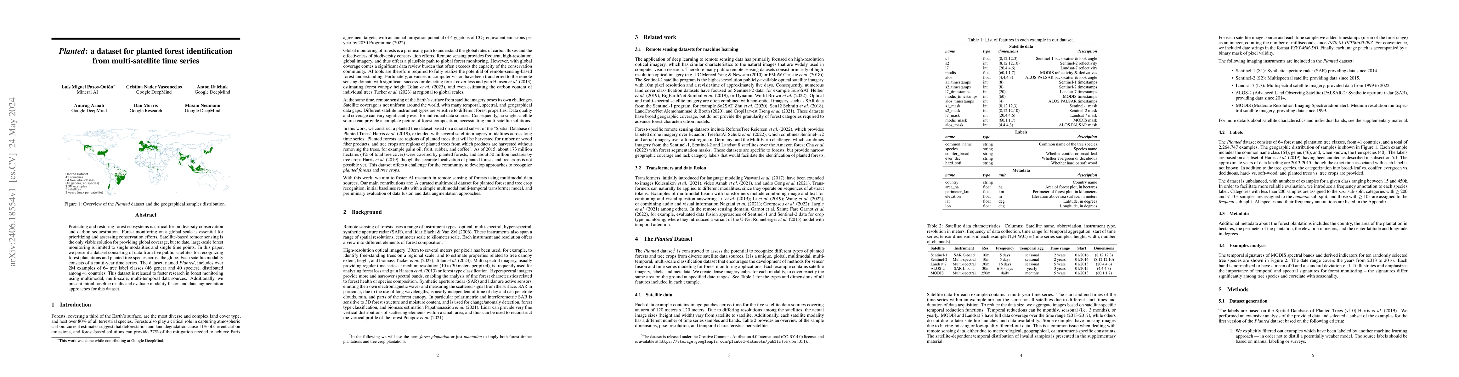
Protecting and restoring forest ecosystems is critical for biodiversity conservation and carbon sequestration. Forest monitoring on a global scale is essential for prioritizing and assessing conservation efforts. Satellite-based remote sensing is the only viable solution for providing global coverage, but to date, large-scale forest monitoring is limited to single modalities and single time points. In this paper, we present a dataset consisting of data from five public satellites for recognizing forest plantations and planted tree species across the globe. Each satellite modality consists of a multi-year time series. The dataset, named \PlantD, includes over 2M examples of 64 tree label classes (46 genera and 40 species), distributed among 41 countries. This dataset is released to foster research in forest monitoring using multimodal, multi-scale, multi-temporal data sources. Additionally, we present initial baseline results and evaluate modality fusion and data augmentation approaches for this dataset.
AI Key Findings
Get AI-generated insights about this paper's methodology, results, significance, and more — seven facets brought into focus.
Impact
Paper Details
Authors
PDF Preview
Key Terms
Citation Network
Current paper (gray), citations (green), references (blue)
Display is limited for performance on very large graphs.
Discussion 0