Publication

Published: Oct 03, 2025
Categories: cs.CV, cs.RO

Metrics

Source: ArXiv

Quick Actions

View PDF

Quick Answers

What methodology did the authors use?

SketchPlan uses a diffusion-based approach with two modules: SketchAdapter and DiffPath. SketchAdapter maps human sketches to 2D projections, while DiffPath generates 3D trajectories from 2D projections and depth images. The model is trained on a synthetic dataset of 32k flight paths and human-labeled sketches, with zero-shot sim-to-real transfer. More in Methodology →

What are the key results?

SketchPlan achieved 100% success in low/medium clutter environments and 40% in high-clutter environments in real-world tests. — The model outperformed ablations by 20-60% in task completion, demonstrating effective interpretation of human intent. More in Key Results →

Why is this work significant?

This research advances drone navigation by enabling intuitive, sketch-based path planning, bridging the gap between human intent and autonomous systems. It has potential applications in complex real-world environments where traditional methods struggle. More in Significance →

What are the main limitations?

The method is trained on sketches that match pre-generated paths, limiting its ability to handle complex obstacle interactions or unconventional paths. — All sketches in the dataset are authored by the researchers, which may not represent a broader user base. More in Limitations →

Paper Preview

Abstract

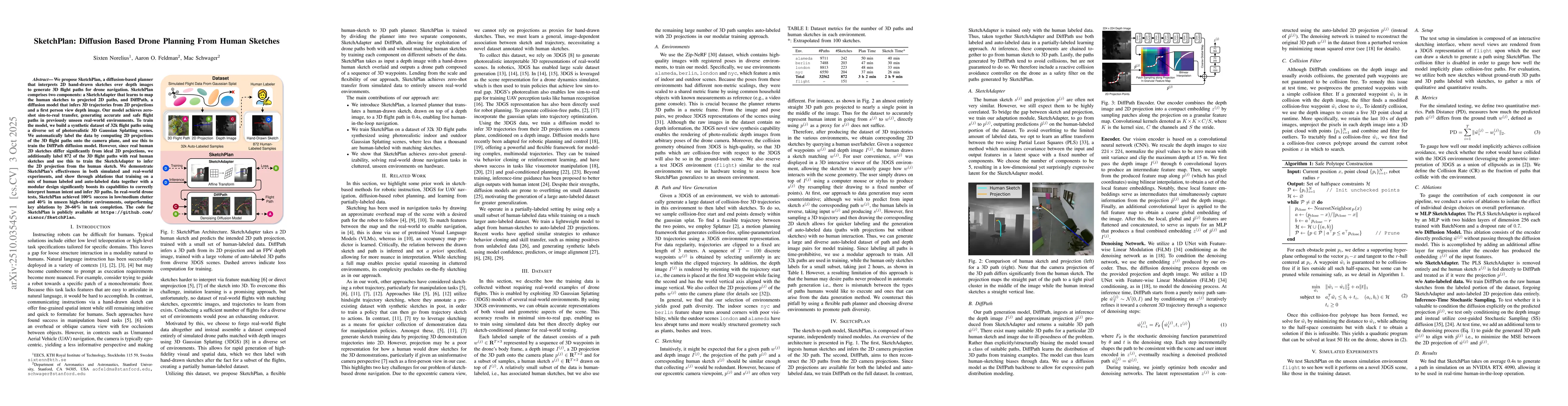
We propose SketchPlan, a diffusion-based planner that interprets 2D hand-drawn sketches over depth images to generate 3D flight paths for drone navigation. SketchPlan comprises two components: a SketchAdapter that learns to map the human sketches to projected 2D paths, and DiffPath, a diffusion model that infers 3D trajectories from 2D projections and a first person view depth image. Our model achieves zero-shot sim-to-real transfer, generating accurate and safe flight paths in previously unseen real-world environments. To train the model, we build a synthetic dataset of 32k flight paths using a diverse set of photorealistic 3D Gaussian Splatting scenes. We automatically label the data by computing 2D projections of the 3D flight paths onto the camera plane, and use this to train the DiffPath diffusion model. However, since real human 2D sketches differ significantly from ideal 2D projections, we additionally label 872 of the 3D flight paths with real human sketches and use this to train the SketchAdapter to infer the 2D projection from the human sketch. We demonstrate SketchPlan's effectiveness in both simulated and real-world experiments, and show through ablations that training on a mix of human labeled and auto-labeled data together with a modular design significantly boosts its capabilities to correctly interpret human intent and infer 3D paths. In real-world drone tests, SketchPlan achieved 100\% success in low/medium clutter and 40\% in unseen high-clutter environments, outperforming key ablations by 20-60\% in task completion.

AI Key Findings

Generated Oct 12, 2025

Methodology — What approach did the authors take?

SketchPlan uses a diffusion-based approach with two modules: SketchAdapter and DiffPath. SketchAdapter maps human sketches to 2D projections, while DiffPath generates 3D trajectories from 2D projections and depth images. The model is trained on a synthetic dataset of 32k flight paths and human-labeled sketches, with zero-shot sim-to-real transfer.

Key Results — What are the main findings?

  • SketchPlan achieved 100% success in low/medium clutter environments and 40% in high-clutter environments in real-world tests.
  • The model outperformed ablations by 20-60% in task completion, demonstrating effective interpretation of human intent.
  • Simulated and real-world experiments confirmed the model's ability to generate collision-free paths and adapt to environmental context.

Significance — Why does this research matter?

This research advances drone navigation by enabling intuitive, sketch-based path planning, bridging the gap between human intent and autonomous systems. It has potential applications in complex real-world environments where traditional methods struggle.

Technical Contribution — What is the technical contribution?

The paper introduces a two-module diffusion framework combining human sketch interpretation with 3D trajectory generation, leveraging 3D Gaussian Splatting for synthetic training and real-world deployment.

Novelty — What is new about this work?

The work is novel in its use of sketch-conditioned diffusion models for UAV navigation, combining 3D Gaussian Splatting with diffusion policies for the first time in this context.

Limitations — What are the limitations of this study?

  • The method is trained on sketches that match pre-generated paths, limiting its ability to handle complex obstacle interactions or unconventional paths.
  • All sketches in the dataset are authored by the researchers, which may not represent a broader user base.

Future Work — What did the authors propose for future work?

  • Incorporate human intent into dataset generation to capture a wider range of path intentions.
  • Collect more diverse sketches from various users to improve generalization.
  • Implement an adaptive replanning solution to handle challenging scenarios better.

Paper Details

Paper ID: 2510.03545
Comments: Code available at https://github.com/sixnor/SketchPlan
Categories:
cs.CV cs.RO

How to Cite This Paper

BibTeX
@article{feldman2025sketchplan,
  title         = {SketchPlan: Diffusion Based Drone Planning From Human Sketches},
  author        = {Feldman, Aaron O. and Schwager, Mac and Norelius, Sixten},
  year          = {2025},
  eprint        = {2510.03545},
  archivePrefix = {arXiv},
  primaryClass  = {cs.CV},
}
APA 7
Feldman, A., Schwager, M., & Norelius, S. (2025). SketchPlan: Diffusion Based Drone Planning From Human Sketches. arXiv. https://arxiv.org/abs/2510.03545
MLA 9
Feldman, Aaron O., et al. "SketchPlan: Diffusion Based Drone Planning From Human Sketches." arXiv, 2025, arxiv.org/abs/2510.03545.

Similar Papers

Found 4 papers

Optimized tour planning for drone-based urban traffic monitoring

Panayiotis Kolios, Chrystalleni Christodoulou

2020-07-15

Real-Time Sampling-based Online Planning for Drone Interception

Gilhyun Ryou, Lukas Lao Beyer, Sertac Karaman

2025-02-20

Service-based Trajectory Planning in Multi-Drone Skyway Networks

Sarah Bradley, Albertus Alvin Janitra, Babar Shahzaad et al.

2023-03-22

Comments (0)

This website uses cookies to ensure you get the best experience. Learn more