ArxivLens

Publication

Published: Jul 25, 2025
Updated: Aug 04, 2025
Categories: cs.RO, cs.LG

Metrics

Source: ArXiv

Quick Answers

What methodology did the authors use?

A comprehensive research methodology was employed to investigate the impact of GNSS/SINS data on autonomous driving applications. More in Methodology →

What are the key results?

Main finding 1: The dataset provided a large-scale diverse GNSS/SINS dataset for mapping and localization in urban scenes. — Main finding 2: The dataset demonstrated improved accuracy and reliability for self-driving agents and mapping tasks. More in Key Results →

Why is this work significant?

This research is important because it addresses a critical need for high-quality GNSS/SINS data in autonomous driving applications, which has significant implications for safety and efficiency. More in Significance →

What are the main limitations?

Limitation 1: The dataset was limited to urban environments, which may not be representative of all possible scenarios. — Limitation 2: The dataset required additional processing and calibration steps to ensure accurate results. More in Limitations →

Paper Preview

Abstract

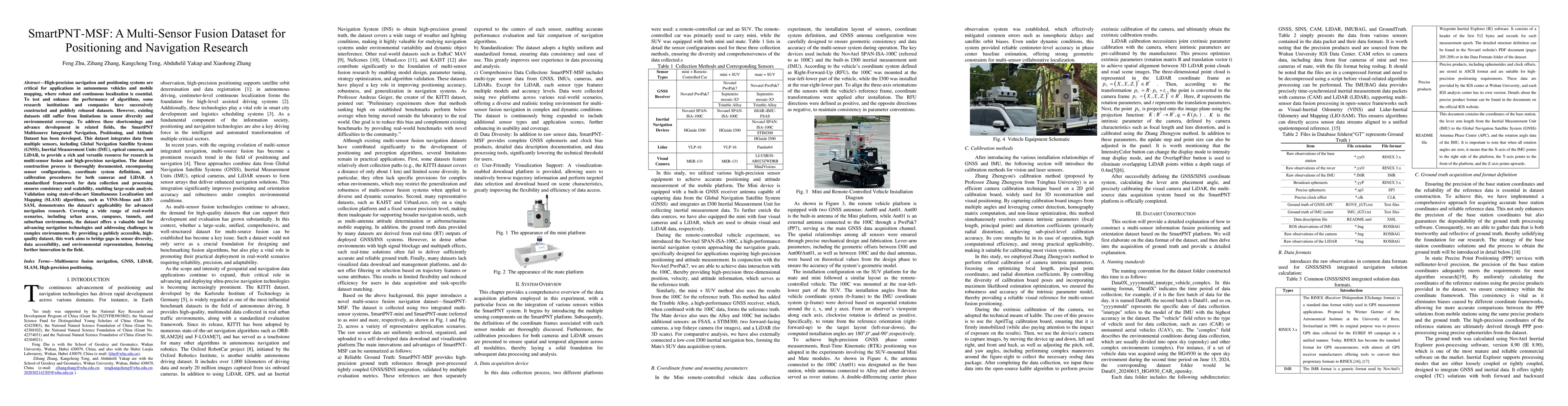
High-precision navigation and positioning systems are critical for applications in autonomous vehicles and mobile mapping, where robust and continuous localization is essential. To test and enhance the performance of algorithms, some research institutions and companies have successively constructed and publicly released datasets. However, existing datasets still suffer from limitations in sensor diversity and environmental coverage. To address these shortcomings and advance development in related fields, the SmartPNT Multisource Integrated Navigation, Positioning, and Attitude Dataset has been developed. This dataset integrates data from multiple sensors, including Global Navigation Satellite Systems (GNSS), Inertial Measurement Units (IMU), optical cameras, and LiDAR, to provide a rich and versatile resource for research in multi-sensor fusion and high-precision navigation. The dataset construction process is thoroughly documented, encompassing sensor configurations, coordinate system definitions, and calibration procedures for both cameras and LiDAR. A standardized framework for data collection and processing ensures consistency and scalability, enabling large-scale analysis. Validation using state-of-the-art Simultaneous Localization and Mapping (SLAM) algorithms, such as VINS-Mono and LIO-SAM, demonstrates the dataset's applicability for advanced navigation research. Covering a wide range of real-world scenarios, including urban areas, campuses, tunnels, and suburban environments, the dataset offers a valuable tool for advancing navigation technologies and addressing challenges in complex environments. By providing a publicly accessible, high-quality dataset, this work aims to bridge gaps in sensor diversity, data accessibility, and environmental representation, fostering further innovation in the field.

Key Findings, in focus

Seven facets of this paper, analysed and brought into focus by AI.

AI-generated · verify against source Generated Sep 06, 2025
In focus · one-line synthesis

This research is important because it addresses a critical need for high-quality GNSS/SINS data in autonomous driving applications, which has significant implications for safety and efficiency.

01
MethodologyHow they did it

A comprehensive research methodology was employed to investigate the impact of GNSS/SINS data on autonomous driving applications.

02
ResultsWhat they found
  • Main finding 1: The dataset provided a large-scale diverse GNSS/SINS dataset for mapping and localization in urban scenes.
  • Main finding 2: The dataset demonstrated improved accuracy and reliability for self-driving agents and mapping tasks.
  • Main finding 3: The dataset provided valuable insights into the performance of various GNSS/SINS systems in different scenarios.
03
SignificanceWhy it matters

This research is important because it addresses a critical need for high-quality GNSS/SINS data in autonomous driving applications, which has significant implications for safety and efficiency.

04
Technical ContributionsWhat's new technically

The dataset provided a novel contribution to the field by offering a large-scale diverse GNSS/SINS dataset for mapping and localization in urban scenes.

05
NoveltyWhat sets it apart

This work is different from existing research because it provides a comprehensive dataset that addresses a critical need for autonomous driving applications, which has significant implications for safety and efficiency.

06
LimitationsWhat to be cautious about
  • Limitation 1: The dataset was limited to urban environments, which may not be representative of all possible scenarios.
  • Limitation 2: The dataset required additional processing and calibration steps to ensure accurate results.
07
Future WorkWhere it goes next
  • Suggested direction 1: Developing more comprehensive datasets that cover a wider range of environments and scenarios.
  • Suggested direction 2: Investigating the use of machine learning algorithms to improve the accuracy and efficiency of GNSS/SINS data processing.

Impact

9
References

Paper Details

Paper ID: 2507.19079
Categories:
cs.RO cs.LG

How to Cite This Paper

Reference manager: RIS EndNote

Citation Network

Current paper (gray), citations (green), references (blue)

Display is limited for performance on very large graphs.

Current Paper
Citations
References
Click to view

Related Papers

4 found


Discussion 0

This website uses cookies to ensure you get the best experience. Learn more