Publication
Metrics
AI Quick Summary
This study proposes a method to generate a labeled dataset of urban trees from Google Maps' aerial images and evaluates the effectiveness of deep learning models like VGG and ResNet for classifying these trees. The best model achieved an average accuracy of 60% in classifying six different tree species.
Paper Preview
Abstract
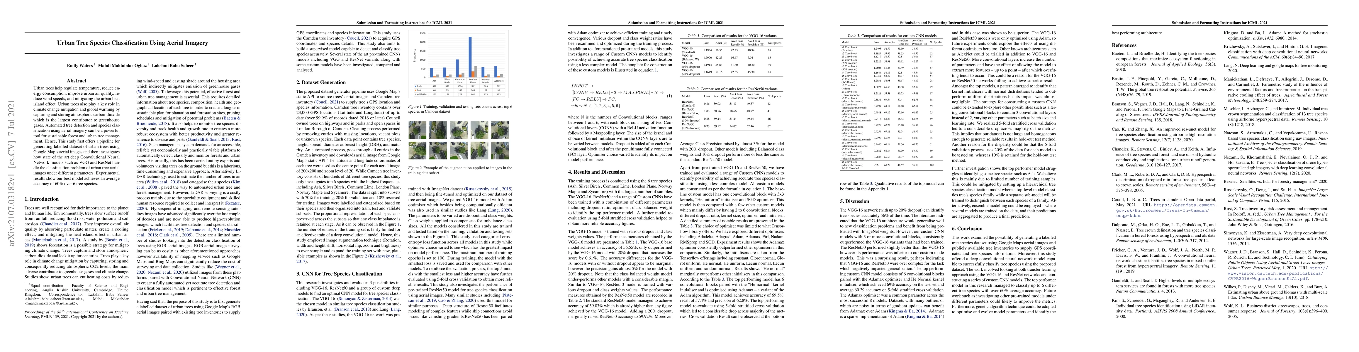
Urban trees help regulate temperature, reduce energy consumption, improve urban air quality, reduce wind speeds, and mitigating the urban heat island effect. Urban trees also play a key role in climate change mitigation and global warming by capturing and storing atmospheric carbon-dioxide which is the largest contributor to greenhouse gases. Automated tree detection and species classification using aerial imagery can be a powerful tool for sustainable forest and urban tree management. Hence, This study first offers a pipeline for generating labelled dataset of urban trees using Google Map's aerial images and then investigates how state of the art deep Convolutional Neural Network models such as VGG and ResNet handle the classification problem of urban tree aerial images under different parameters. Experimental results show our best model achieves an average accuracy of 60% over 6 tree species.
AI Key Findings
Get AI-generated insights about this paper's methodology, results, significance, and more — seven facets brought into focus.
Impact
Paper Details
Authors
PDF Preview
Key Terms
Citation Network
Current paper (gray), citations (green), references (blue)
Display is limited for performance on very large graphs.
Discussion 0