Drone-based data collection at 4K/30Hz with 80m altitude, followed by single-video stabilization, multi-video alignment, YOLO11x-OBB detection, ByteTrack multi-object tracking, RTS smoothing, and Vector Time-to-Collision (VTTC) filtering to extract 4,002 interaction scenarios
VRUD: A Drone Dataset for Complex Vehicle-VRU Interactions within Mixed Traffic
Publication
Metrics
Quick Answers
What methodology did the authors use?
Drone-based data collection at 4K/30Hz with 80m altitude, followed by single-video stabilization, multi-video alignment, YOLO11x-OBB detection, ByteTrack multi-object tracking, RTS smoothing, and Vector Time-to-Collision (VTTC) filtering to extract 4,002 interaction scenarios More in Methodology →
What are the key results?
VRUD dataset contains 4 hours of footage, 12,888 trajectories with 87% VRUs and 4,002 high-quality interaction scenarios — VTTC threshold of 0.7s effectively isolates relevant interactions and correlates with VRU density and ego speed More in Key Results →
Why is this work significant?
Provides rare, high-density mixed-traffic data for autonomous driving research, enabling safer decision-making and realistic simulation in unstructured urban environments More in Significance →
What are the main limitations?
Dataset limited to two Shenzhen urban villages, potentially reducing generalizability — Data collected only during morning and evening peak hours, limiting temporal diversity More in Limitations →
Abstract
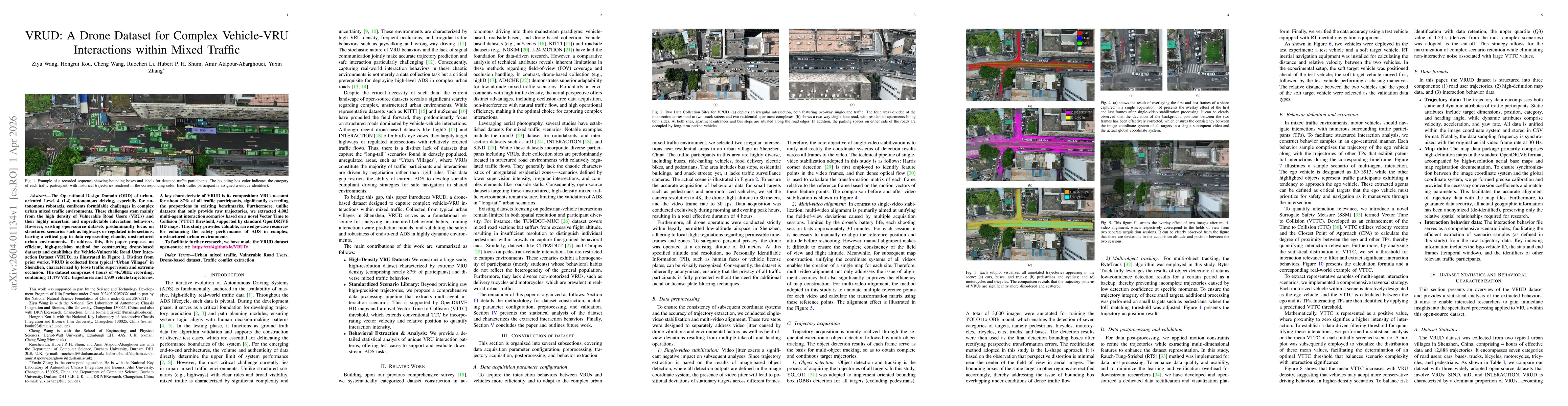
The Operational Design Domain (ODD) of urbanoriented Level 4 (L4) autonomous driving, especially for autonomous robotaxis, confronts formidable challenges in complex urban mixed traffic environments. These challenges stem mainly from the high density of Vulnerable Road Users (VRUs) and their highly uncertain and unpredictable interaction behaviors. However, existing open-source datasets predominantly focus on structured scenarios such as highways or regulated intersections, leaving a critical gap in data representing chaotic, unstructured urban environments. To address this, this paper proposes an efficient, high-precision method for constructing drone-based datasets and establishes the Vehicle-Vulnerable Road User Interaction Dataset (VRUD), as illustrated in Figure 1. Distinct from prior works, VRUD is collected from typical "Urban Villages" in Shenzhen, characterized by loose traffic supervision and extreme occlusion. The dataset comprises 4 hours of 4K/30Hz recording, containing 11,479 VRU trajectories and 1,939 vehicle trajectories. A key characteristic of VRUD is its composition: VRUs account for about 87% of all traffic participants, significantly exceeding the proportions in existing benchmarks. Furthermore, unlike datasets that only provide raw trajectories, we extracted 4,002 multi-agent interaction scenarios based on a novel Vector Time to Collision (VTTC) threshold, supported by standard OpenDRIVE HD maps. This study provides valuable, rare edge-case resources for enhancing the safety performance of ADS in complex, unstructured urban environments. To facilitate further research, we have made the VRUD dataset open-source at: https://zzi4.github.io/VRUD/.
Key Findings, in focus
Seven facets of this paper, analysed and brought into focus by AI.
Provides rare, high-density mixed-traffic data for autonomous driving research, enabling safer decision-making and realistic simulation in unstructured urban environments
- VRUD dataset contains 4 hours of footage, 12,888 trajectories with 87% VRUs and 4,002 high-quality interaction scenarios
- VTTC threshold of 0.7s effectively isolates relevant interactions and correlates with VRU density and ego speed
- Trajectory extraction accuracy validated against RT-inertial ground truth with sub-meter error
Provides rare, high-density mixed-traffic data for autonomous driving research, enabling safer decision-making and realistic simulation in unstructured urban environments
Development of VTTC metric and end-to-end pipeline for high-precision drone-based trajectory extraction, multi-video alignment, and scenario library creation
First drone-derived dataset focused on mixed traffic with extreme VRU density, 4K/30Hz resolution, open-source HD maps, and a novel interaction relevance metric
- Dataset limited to two Shenzhen urban villages, potentially reducing generalizability
- Data collected only during morning and evening peak hours, limiting temporal diversity
- Expand collection to diverse locations, seasons, and traffic conditions
- Integrate additional sensor modalities (LiDAR, radar) and refine interaction modeling with advanced metrics
Discussion 0