Academic Profile
Statistics
Similar Authors
Papers on arXiv
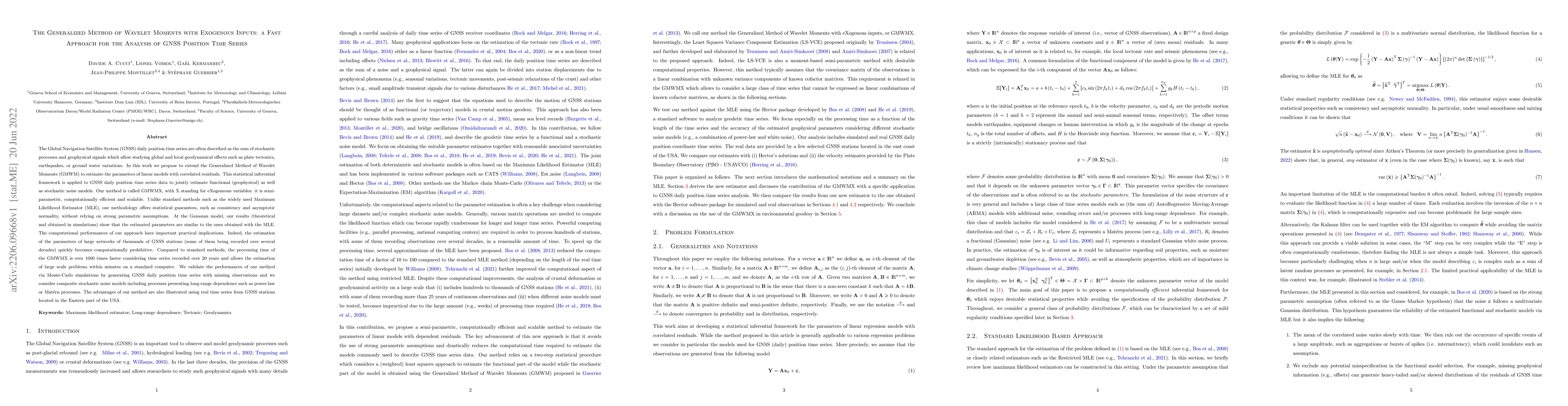
The Global Navigation Satellite System (GNSS) daily position time series are often described as the sum of stochastic processes and geophysical signals which allow studying global and local geodynam...
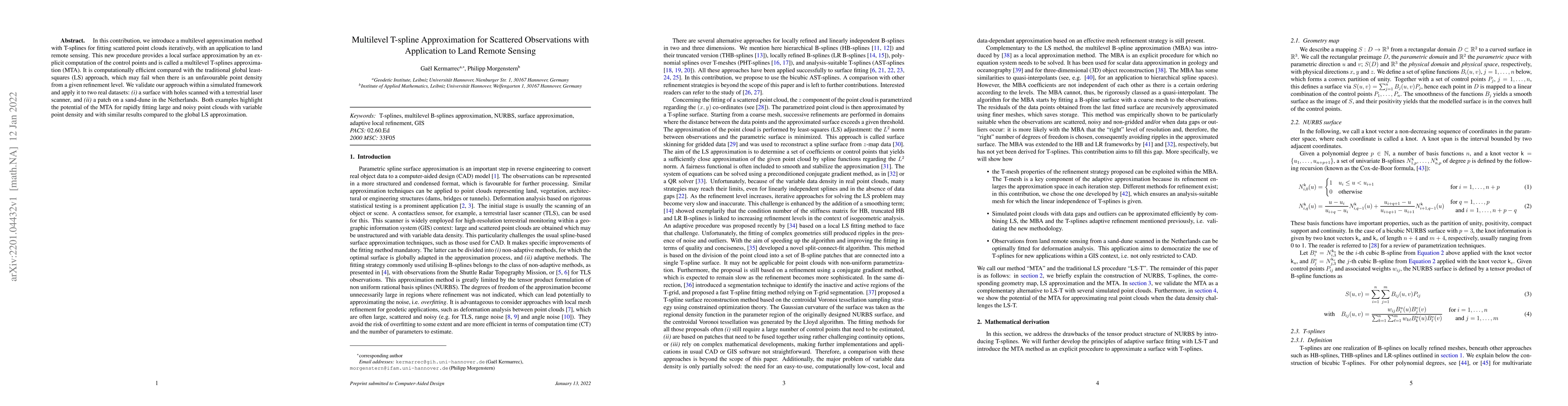
In this contribution, we introduce a multilevel approximation method with T-splines for fitting scattered point clouds iteratively, with an application to land remote sensing. This new procedure pro...
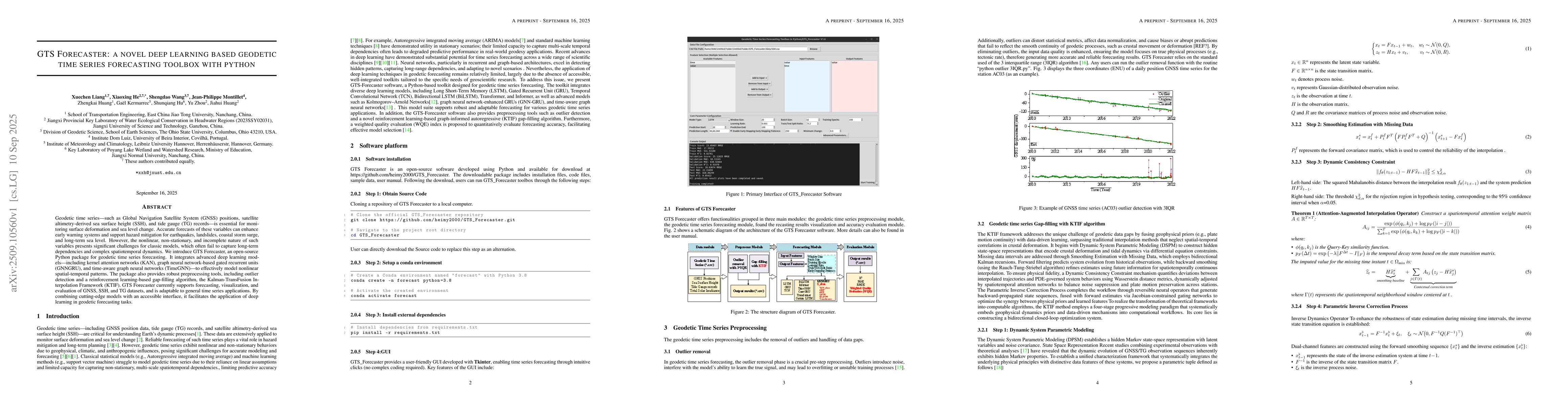
Geodetic time series -- such as Global Navigation Satellite System (GNSS) positions, satellite altimetry-derived sea surface height (SSH), and tide gauge (TG) records -- is essential for monitoring su...