Multilevel T-spline Approximation for Scattered Observations with Application to Land Remote Sensing
Publication
Metrics
Paper Preview
Abstract
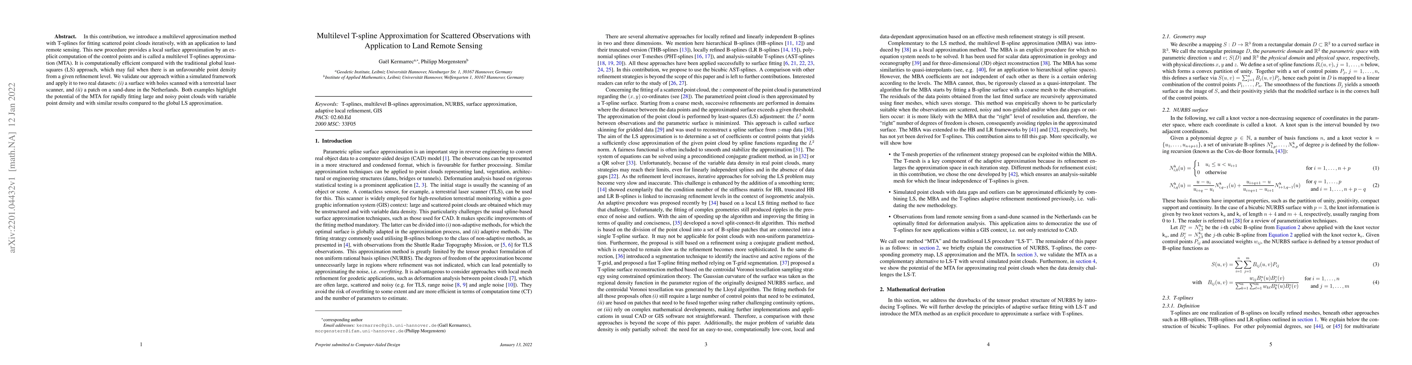
In this contribution, we introduce a multilevel approximation method with T-splines for fitting scattered point clouds iteratively, with an application to land remote sensing. This new procedure provides a local surface approximation by an explicit computation of the control points and is called a multilevel T-splines approximation (MTA). It is computationally efficient compared with the traditional global least-squares (LS) approach, which may fail when there is an unfavourable point density from a given refinement level. We validate our approach within a simulated framework and apply it to two real datasets: (i) a surface with holes scanned with a terrestrial laser scanner, and (ii) a patch on a sand-dune in the Netherlands. Both examples highlight the potential of the MTA for rapidly fitting large and noisy point clouds with variable point density and with similar results compared to the global LS approximation.
AI Key Findings
Get AI-generated insights about this paper's methodology, results, significance, and more — seven facets brought into focus.
Impact
Paper Details
Authors
PDF Preview
Key Terms
Citation Network
Current paper (gray), citations (green), references (blue)
Display is limited for performance on very large graphs.
Discussion 0