Academic Profile
Statistics
Similar Authors
Papers on arXiv
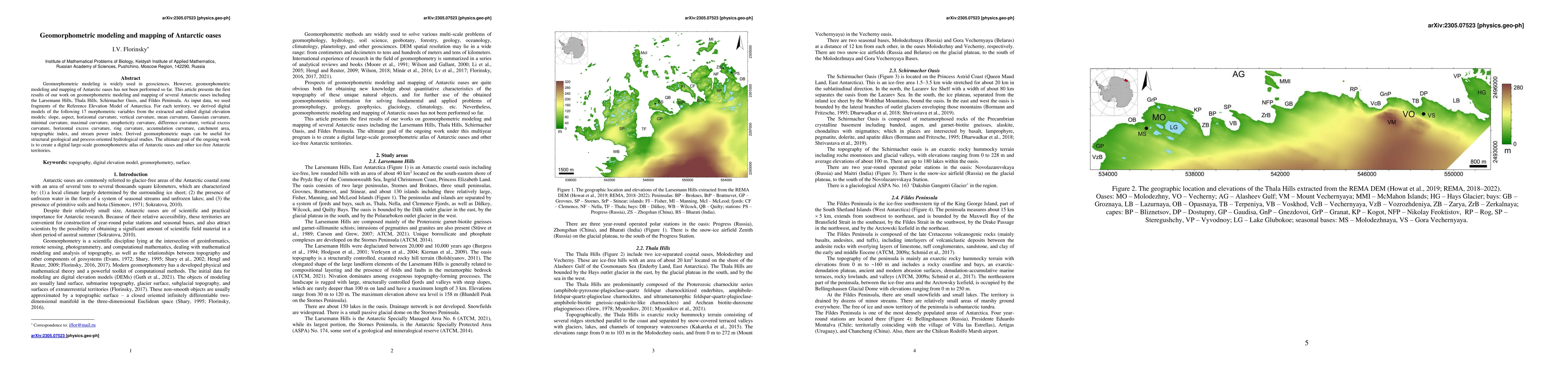
Geomorphometric modeling is widely used in geosciences. However, geomorphometric modeling and mapping of Antarctic oases has not been performed so far. This article presents the first results of our...
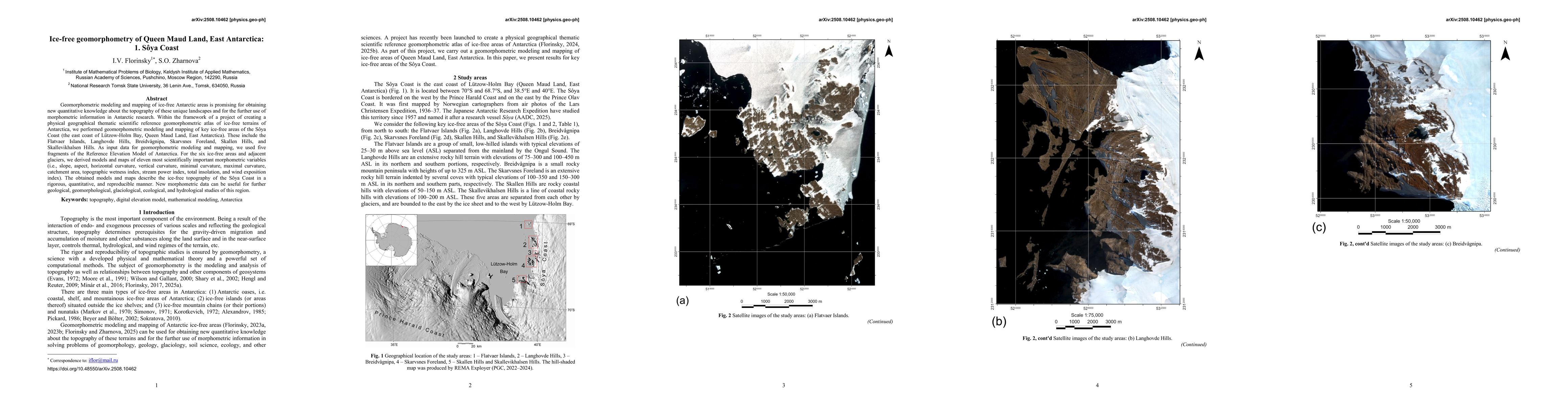
Geomorphometric modeling and mapping of ice-free Antarctic areas is promising for obtaining new quantitative knowledge about the topography of these unique landscapes and for the further use of morpho...
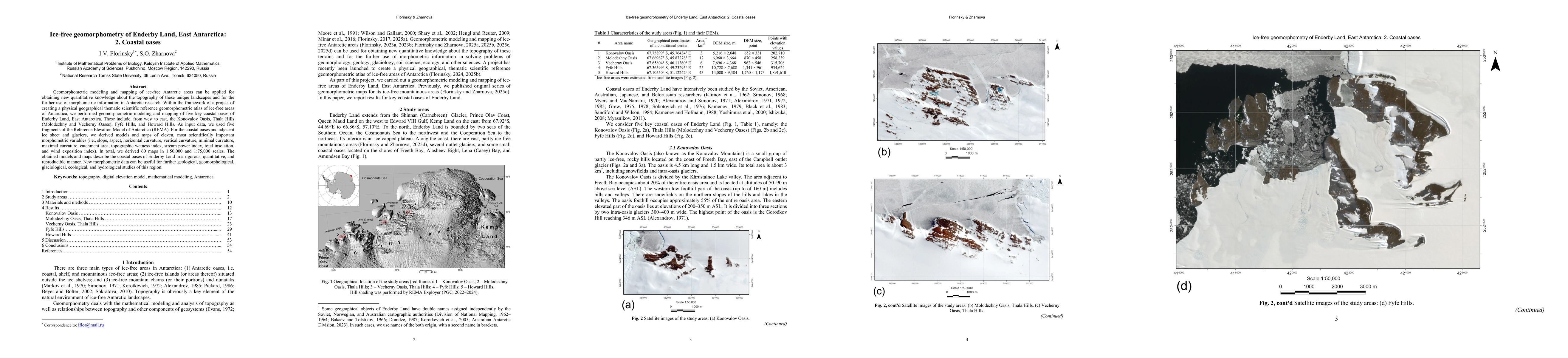
Geomorphometric modeling and mapping of ice-free Antarctic areas can be applied for obtaining new quantitative knowledge about the topography of these unique landscapes and for the further use of morp...
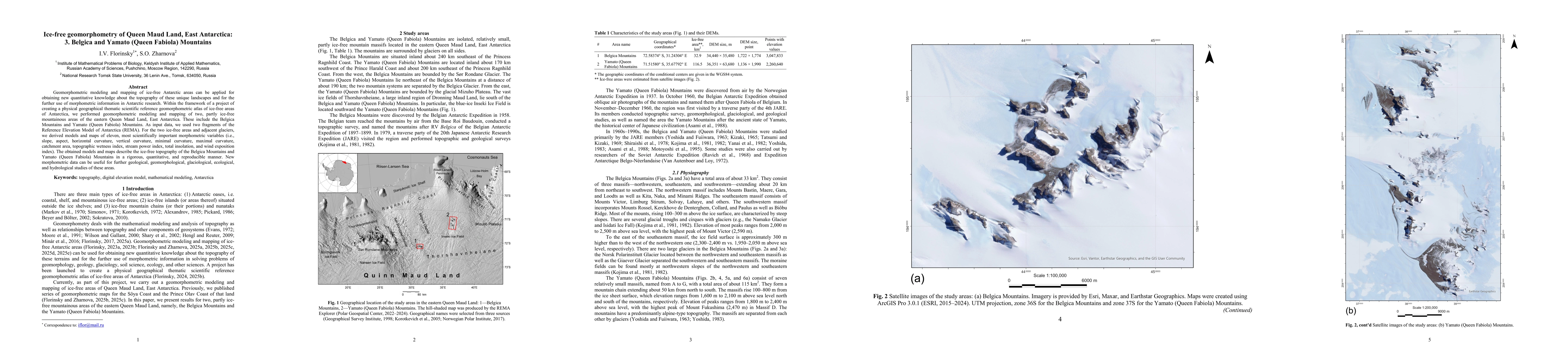
Geomorphometric modeling and mapping of ice-free Antarctic areas can be applied for obtaining new quantitative knowledge about the topography of these unique landscapes and for the further use of morp...