ArxivLens
J
Researcher

Jean-Pierre Wigneron

5 papers on arXiv

5 arXiv Papers
17 Total Publications
Profile

Academic Profile

Name J. Wigneron
Total Papers 17
Scholar Profile View on Semantic Scholar
Metrics

Statistics

5 arXiv Papers
17 Total Publications
Publications

Papers on arXiv

Thumbnail for Global Estimates of L-band Vegetation Optical Depth and Soil
  Permittivity over Snow-covered Boreal Forests and Permafrost using SMAP
  Satellite Data
arXiv
Global Estimates of L-band Vegetation Optical Depth and Soil Permittivity over Snow-covered Boreal Forests and Permafrost using SMAP Satellite Data

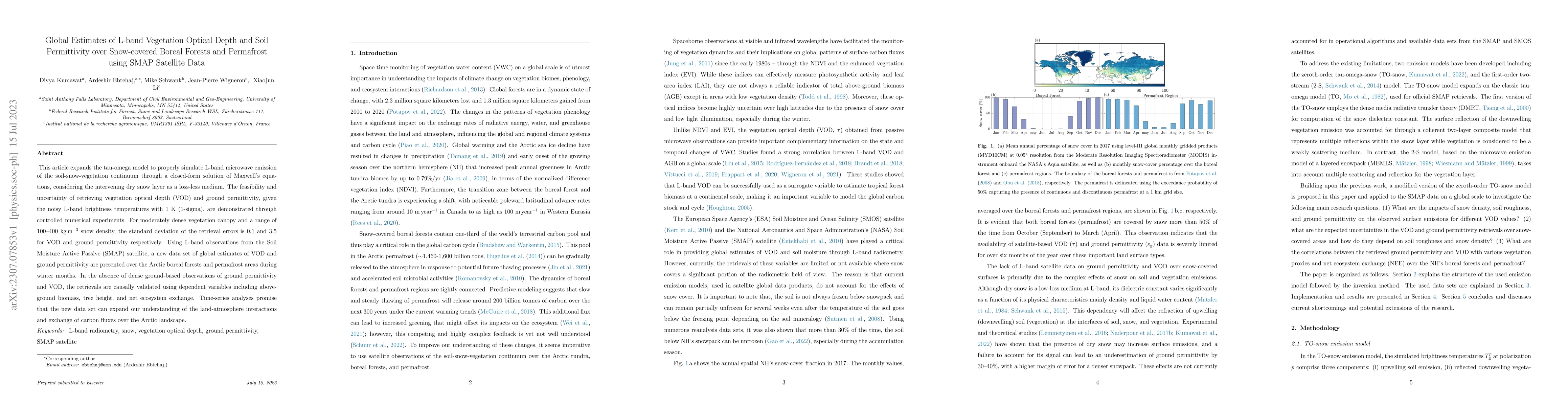
This article expands the tau-omega model to properly simulate L-band microwave emission of the soil-snow-vegetation continuum through a closed-form solution of Maxwell's equations, considering the i...

Thumbnail for Vision Transformers, a new approach for high-resolution and large-scale
  mapping of canopy heights
arXiv
Vision Transformers, a new approach for high-resolution and large-scale mapping of canopy heights

Accurate and timely monitoring of forest canopy heights is critical for assessing forest dynamics, biodiversity, carbon sequestration as well as forest degradation and deforestation. Recent advances...

Thumbnail for High-resolution canopy height map in the Landes forest (France) based on
  GEDI, Sentinel-1, and Sentinel-2 data with a deep learning approach
arXiv
High-resolution canopy height map in the Landes forest (France) based on GEDI, Sentinel-1, and Sentinel-2 data with a deep learning approach

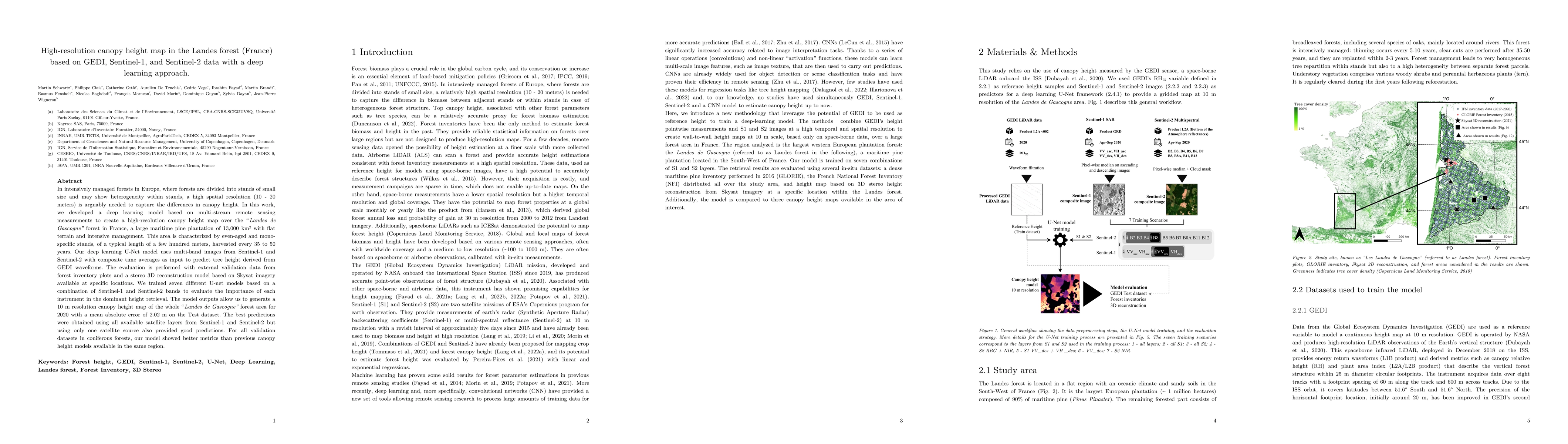
In intensively managed forests in Europe, where forests are divided into stands of small size and may show heterogeneity within stands, a high spatial resolution (10 - 20 meters) is arguably needed ...

Thumbnail for Carbon loss from forest degradation exceeds that from deforestation in
  the Brazilian Amazon
arXiv
Carbon loss from forest degradation exceeds that from deforestation in the Brazilian Amazon

Spatial-temporal dynamics of aboveground biomass (AGB) and forest area affect the carbon cycle, climate, and biodiversity in the Brazilian Amazon. Here we investigate inter-annual changes of AGB and...

Thumbnail for SERA-H: Beyond Native Sentinel Spatial Limits for High-Resolution Canopy Height Mapping
arXiv
SERA-H: Beyond Native Sentinel Spatial Limits for High-Resolution Canopy Height Mapping

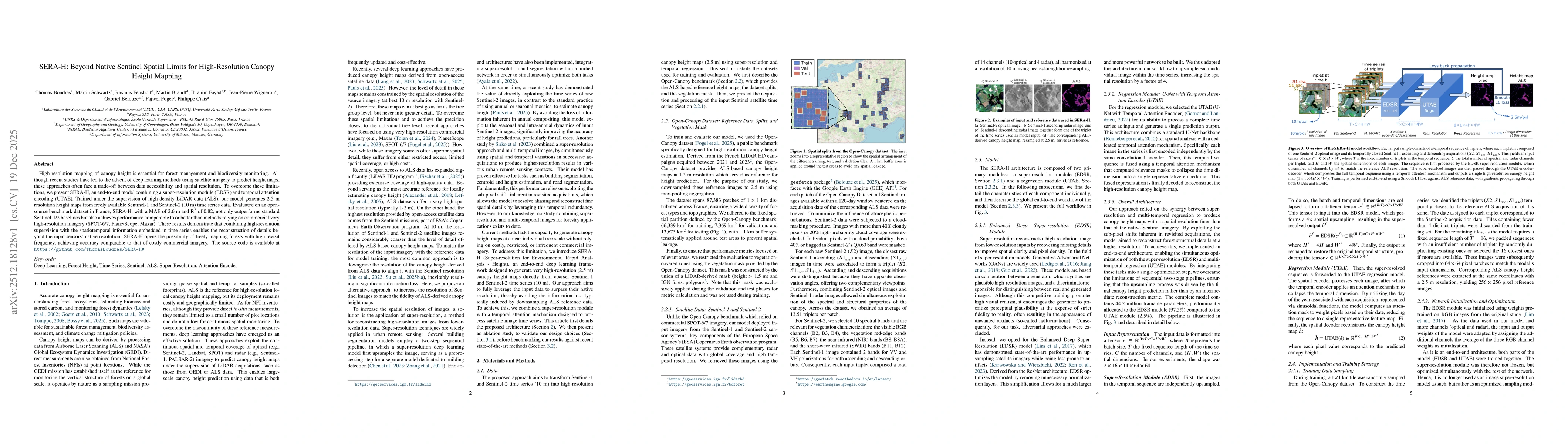
High-resolution mapping of canopy height is essential for forest management and biodiversity monitoring. Although recent studies have led to the advent of deep learning methods using satellite imagery...

This website uses cookies to ensure you get the best experience. Learn more