Academic Profile
Statistics
Similar Authors
Papers on arXiv
Automatic damage assessment based on UAV-derived 3D point clouds can provide fast information on the damage situation after an earthquake. However, the assessment of multiple damage grades is challe...
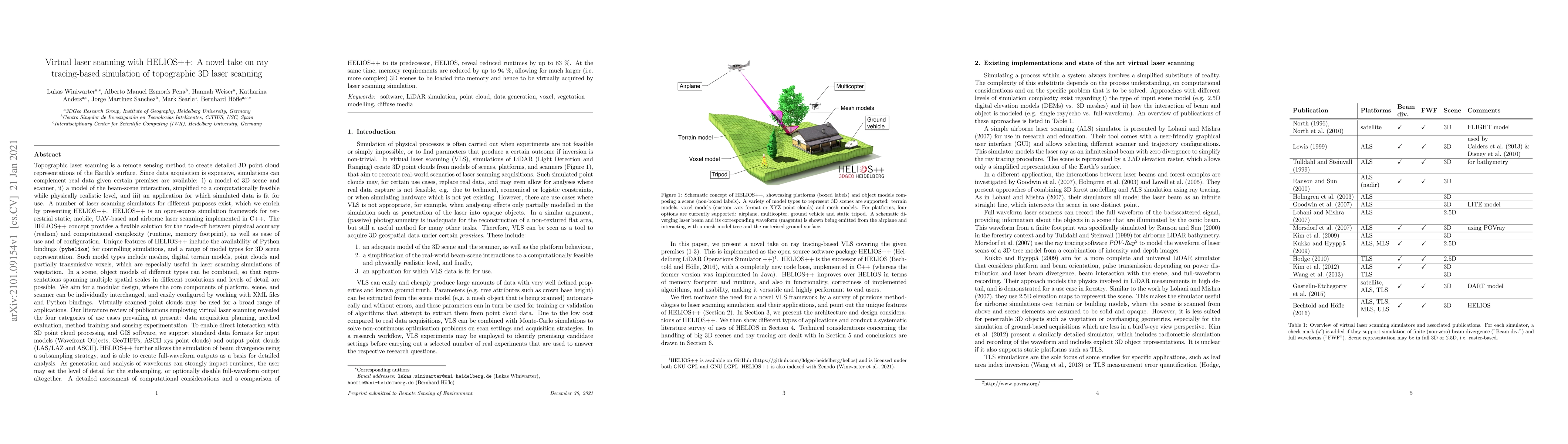
Topographic laser scanning is a remote sensing method to create detailed 3D point cloud representations of the Earth's surface. Since data acquisition is expensive, simulations can complement real d...
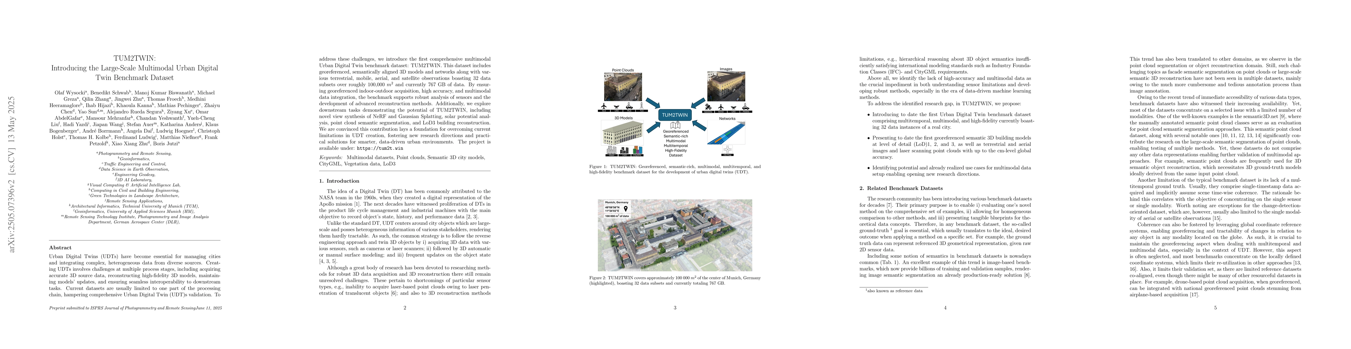
Urban Digital Twins (UDTs) have become essential for managing cities and integrating complex, heterogeneous data from diverse sources. Creating UDTs involves challenges at multiple process stages, inc...