Academic Profile
Statistics
Similar Authors
Papers on arXiv
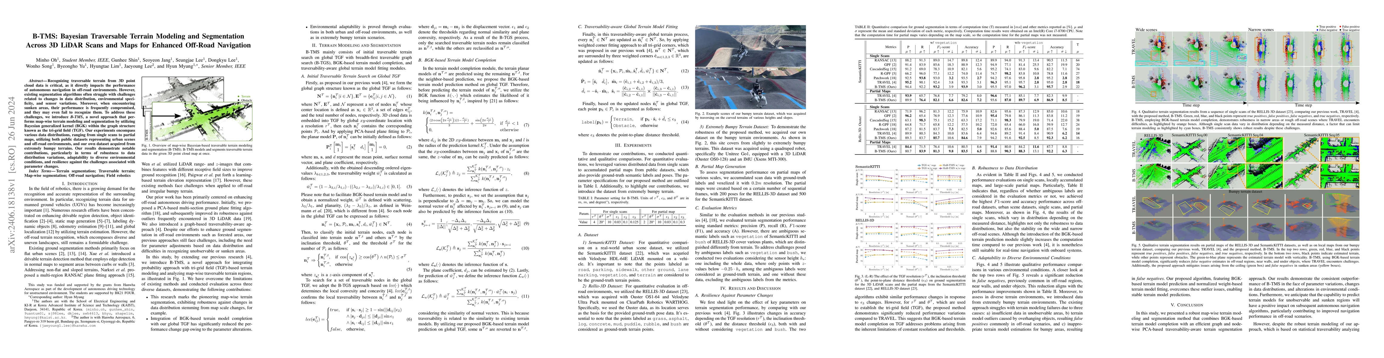
Recognizing traversable terrain from 3D point cloud data is critical, as it directly impacts the performance of autonomous navigation in off-road environments. However, existing segmentation algorit...
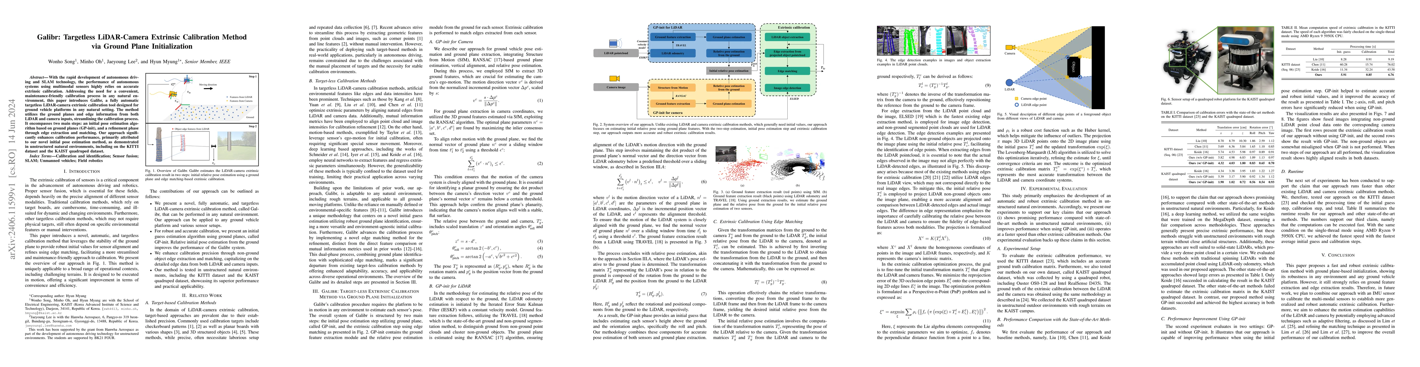
With the rapid development of autonomous driving and SLAM technology, the performance of autonomous systems using multimodal sensors highly relies on accurate extrinsic calibration. Addressing the n...
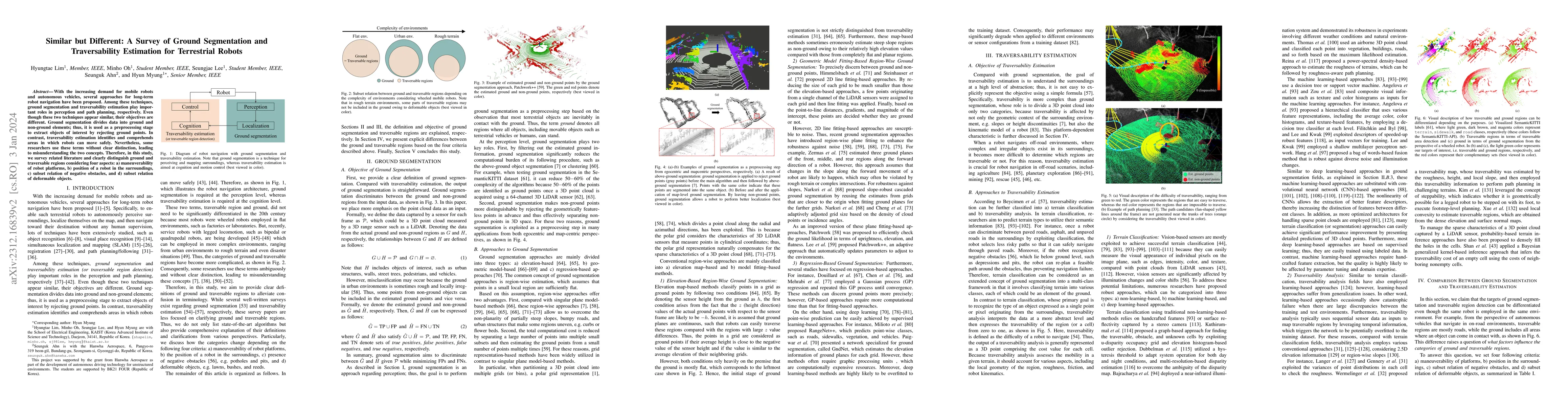
With the increasing demand for mobile robots and autonomous vehicles, several approaches for long-term robot navigation have been proposed. Among these techniques, ground segmentation and traversabi...
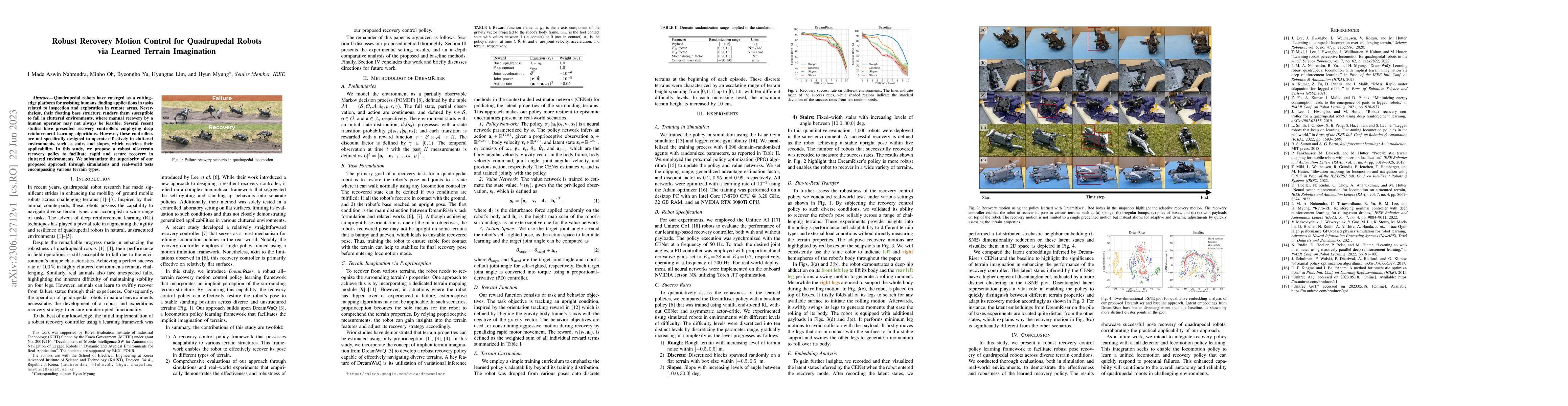
Quadrupedal robots have emerged as a cutting-edge platform for assisting humans, finding applications in tasks related to inspection and exploration in remote areas. Nevertheless, their floating bas...
Perception of traversable regions and objects of interest from a 3D point cloud is one of the critical tasks in autonomous navigation. A ground vehicle needs to look for traversable terrains that ar...
Ground segmentation is crucial for terrestrial mobile platforms to perform navigation or neighboring object recognition. Unfortunately, the ground is not flat, as it features steep slopes; bumpy roa...
Quadrupedal robots hold promising potential for applications in navigating cluttered environments with resilience akin to their animal counterparts. However, their floating base configuration makes th...
Accurate traversability estimation using an online dense terrain map is crucial for safe navigation in challenging environments like construction and disaster areas. However, traversability estimation...
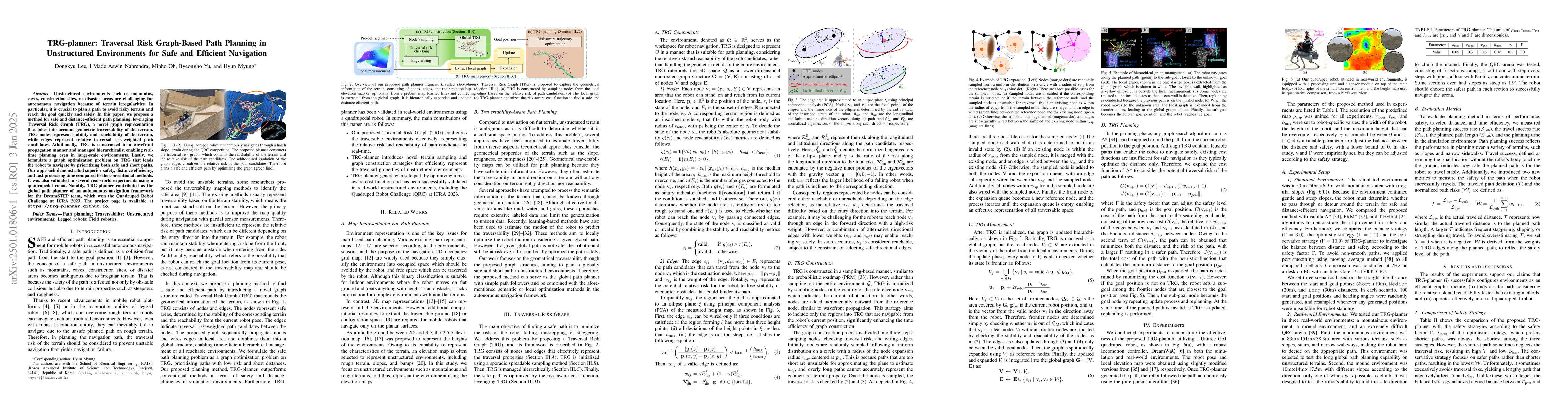
Unstructured environments such as mountains, caves, construction sites, or disaster areas are challenging for autonomous navigation because of terrain irregularities. In particular, it is crucial to p...
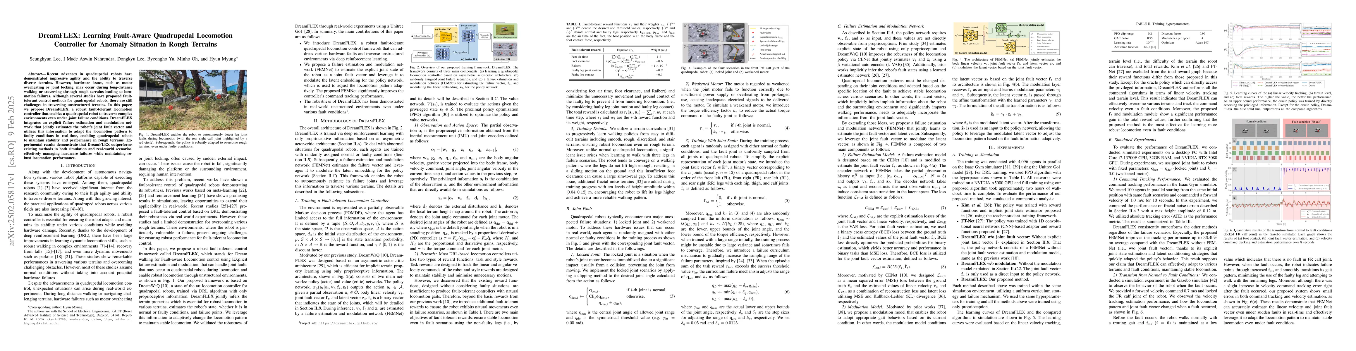
Recent advances in quadrupedal robots have demonstrated impressive agility and the ability to traverse diverse terrains. However, hardware issues, such as motor overheating or joint locking, may occur...
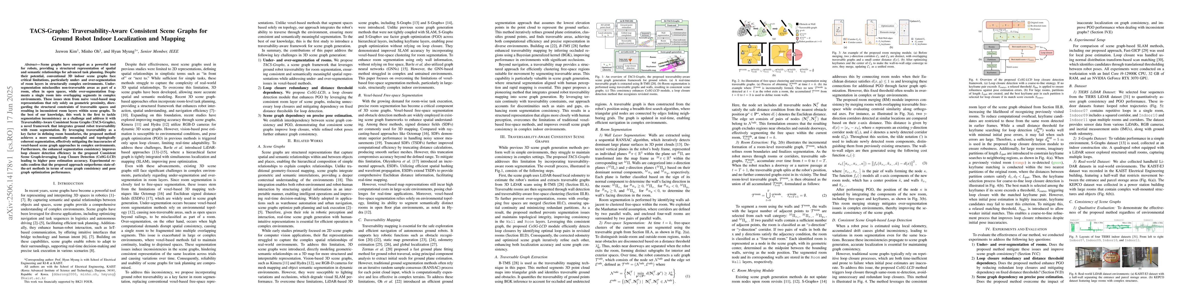
Scene graphs have emerged as a powerful tool for robots, providing a structured representation of spatial and semantic relationships for advanced task planning. Despite their potential, conventional 3...
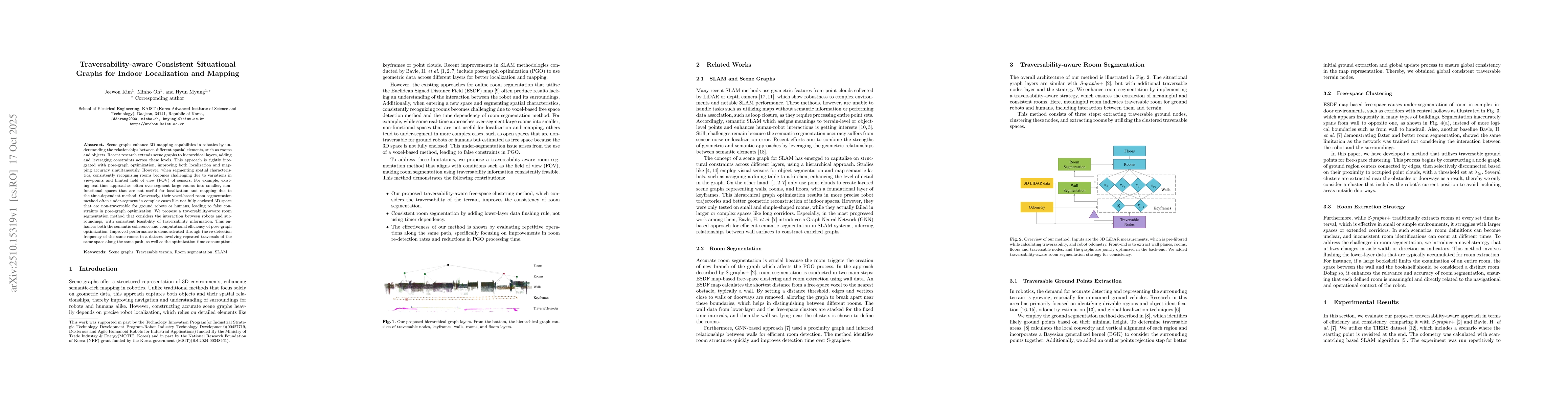
Scene graphs enhance 3D mapping capabilities in robotics by understanding the relationships between different spatial elements, such as rooms and objects. Recent research extends scene graphs to hiera...
Autonomous navigation for legged robots in complex and dynamic environments relies on robust simultaneous localization and mapping (SLAM) systems to accurately map surroundings and localize the robot,...