Academic Profile
Statistics
Similar Authors
Papers on arXiv
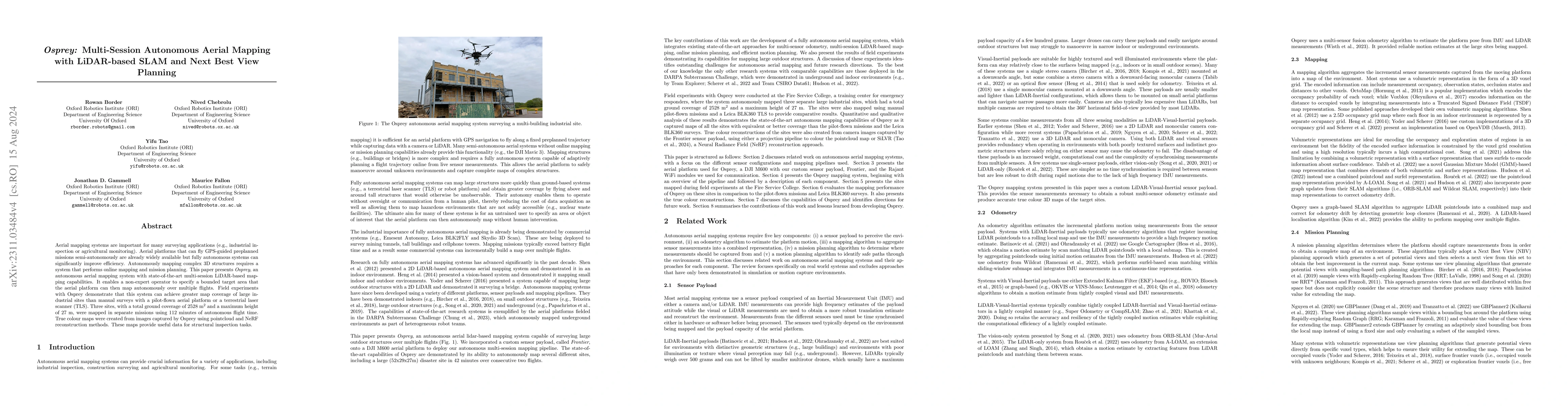
Aerial mapping systems are important for many surveying applications (e.g., industrial inspection or agricultural monitoring). Aerial platforms that can fly GPS-guided preplanned missions semi-auton...
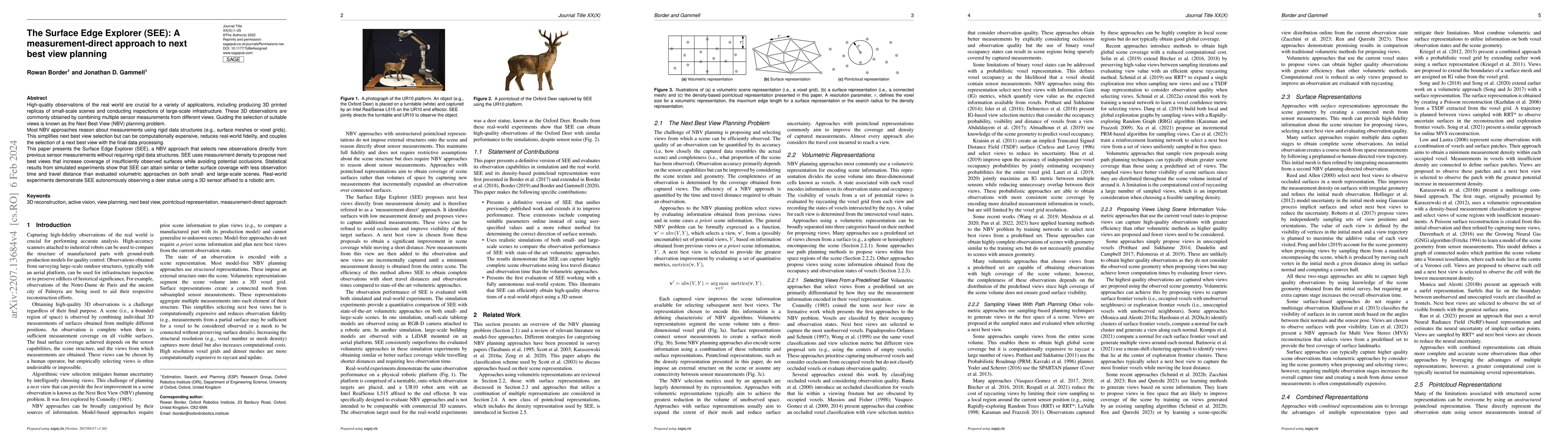
High-quality observations of the real world are crucial for a variety of applications, including producing 3D printed replicas of small-scale scenes and conducting inspections of large-scale infrast...
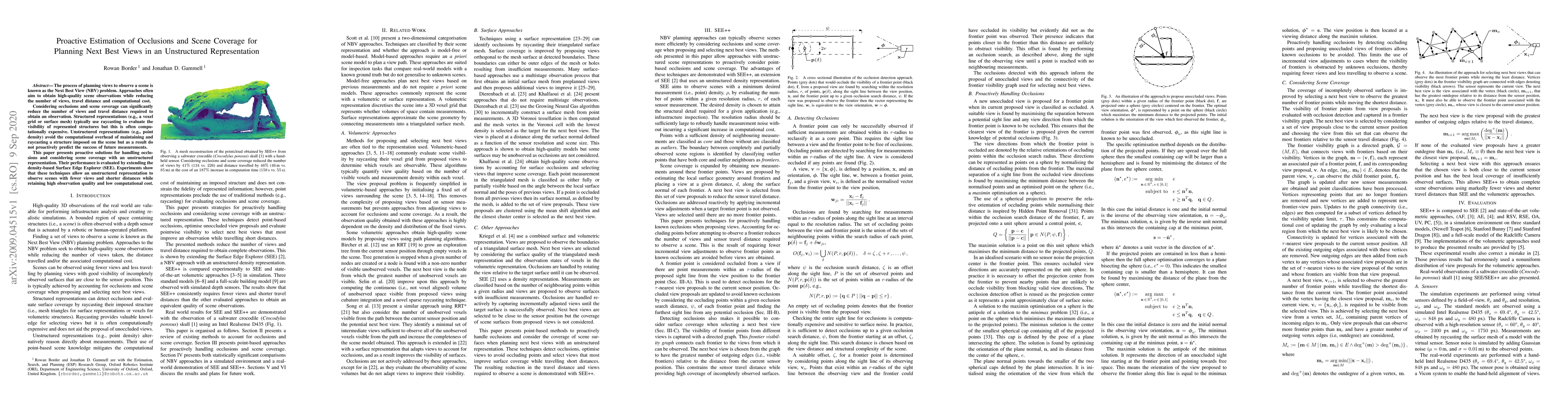
The process of planning views to observe a scene is known as the Next Best View (NBV) problem. Approaches often aim to obtain high-quality scene observations while reducing the number of views, trav...
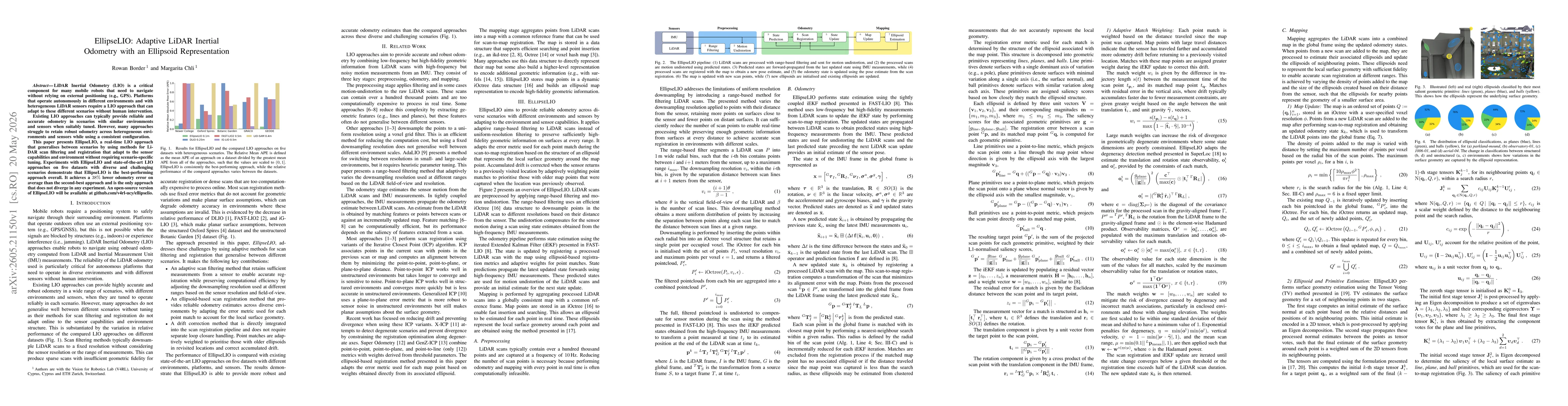
LiDAR Inertial Odometry (LIO) is a critical component for many mobile robots that need to navigate without relying on external positioning (e.g., GPS). Platforms that operate autonomously in different...