Automated Road Extraction from Satellite Imagery Integrating Dense Depthwise Dilated Separable Spatial Pyramid Pooling with DeepLabV3+

Source: ArXiv

AI Quick Summary

This paper proposes a novel Dense Depthwise Dilated Separable Spatial Pyramid Pooling (DenseDDSSPP) module integrated into DeepLabV3+ to enhance road extraction from satellite imagery. The study demonstrates superior performance compared to state-of-the-art models, confirming the effectiveness of the new approach in accurately interpreting complex road structures.

Share: Share on X LinkedIn

Summary

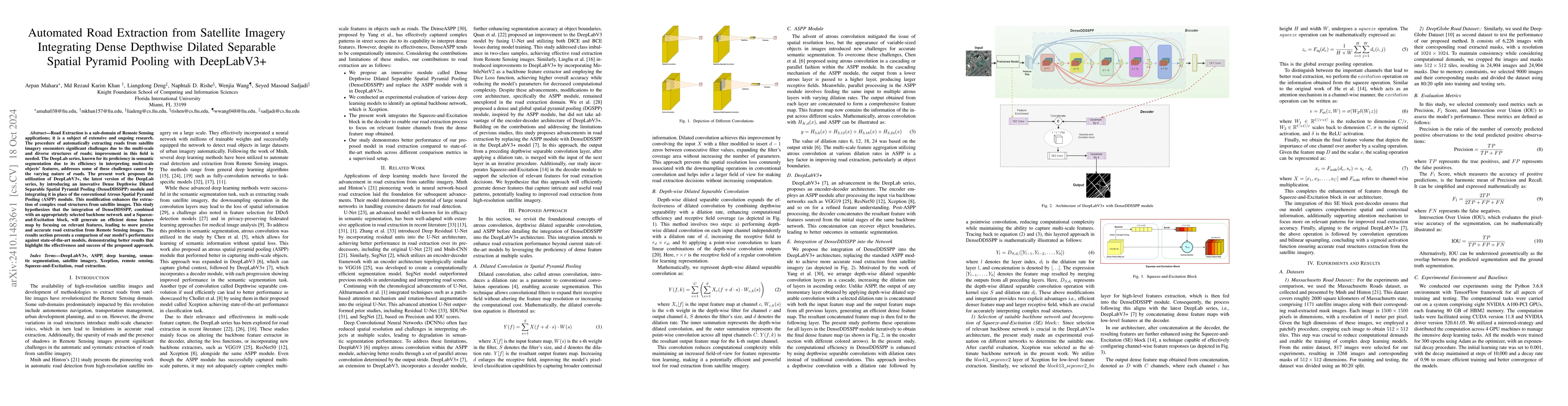
Road Extraction is a sub-domain of Remote Sensing applications; it is a subject of extensive and ongoing research. The procedure of automatically extracting roads from satellite imagery encounters significant challenges due to the multi-scale and diverse structures of roads; improvement in this field is needed. The DeepLab series, known for its proficiency in semantic segmentation due to its efficiency in interpreting multi-scale objects' features, addresses some of these challenges caused by the varying nature of roads. The present work proposes the utilization of DeepLabV3+, the latest version of the DeepLab series, by introducing an innovative Dense Depthwise Dilated Separable Spatial Pyramid Pooling (DenseDDSSPP) module and integrating it in place of the conventional Atrous Spatial Pyramid Pooling (ASPP) module. This modification enhances the extraction of complex road structures from satellite images. This study hypothesizes that the integration of DenseDDSSPP, combined with an appropriately selected backbone network and a Squeeze-and-Excitation block, will generate an efficient dense feature map by focusing on relevant features, leading to more precise and accurate road extraction from Remote Sensing images. The results section presents a comparison of our model's performance against state-of-the-art models, demonstrating better results that highlight the effectiveness and success of the proposed approach.

AI Key Findings

Generated Sep 07, 2025

Methodology

The research proposes an advanced road extraction method from satellite imagery using DeepLabV3+ with a novel Dense Depthwise Dilated Separable Spatial Pyramid Pooling (DenseDDSSPP) module, replacing the conventional Atrous Spatial Pyramid Pooling (ASPP) module. The method also incorporates an Xception backbone network and a Squeeze-and-Excitation (SE) block for efficient feature extraction and emphasis on relevant features.

Key Results

  • The proposed model outperforms state-of-the-art models in road extraction tasks on Massachusetts Road Dataset and DeepGlobe Road Dataset, based on metrics such as IOU, Precision, and F1-Score.
  • The DenseDDSSPP module enhances the extraction of complex road structures by generating a dense feature map focusing on relevant features.
  • Depthwise separable convolutions with dilation rates in DenseDDSSPP improve computational efficiency while maintaining multi-scale feature representation, crucial for accurate interpretation of complex road structures.

Significance

This research is significant as it addresses the challenges in automated road extraction from satellite imagery, which is crucial for applications like autonomous navigation and smart city planning. The proposed method improves upon existing models by introducing DenseDDSSPP, which enhances feature extraction and computational efficiency.

Technical Contribution

The main technical contribution is the introduction of the Dense Depthwise Dilated Separable Spatial Pyramid Pooling (DenseDDSSPP) module, which integrates depthwise separable dilated convolutions to improve computational efficiency and feature extraction capabilities in semantic segmentation for road extraction from satellite imagery.

Novelty

This work is novel as it is the first attempt to incorporate Dense Depthwise Dilated Separable Convolution into a DenseDDSSPP module within a semantic segmentation model for road extraction from satellite imagery, demonstrating superior performance compared to existing state-of-the-art models.

Limitations

  • The study was limited to publicly available datasets (Massachusetts Road Dataset and DeepGlobe Road Dataset) for evaluation.
  • The model's performance in zero-shot scenarios or with unannotated datasets was not explored.

Future Work

  • Future work will focus on enhancing the model's generalizability by collecting additional datasets and evaluating its performance in zero-shot scenarios.
  • Transitioning from a supervised learning setup, which requires annotated images for training, to a self-supervised learning approach to reduce reliance on annotated data.

Paper Details

PDF Preview

Download PDF

Citation Network

Current paper (gray), citations (green), references (blue)

Display is limited for performance on very large graphs.

Current Paper
Citations
References
Click to view

No citations found for this paper.

Comments (0)

This website uses cookies to ensure you get the best experience. Learn more