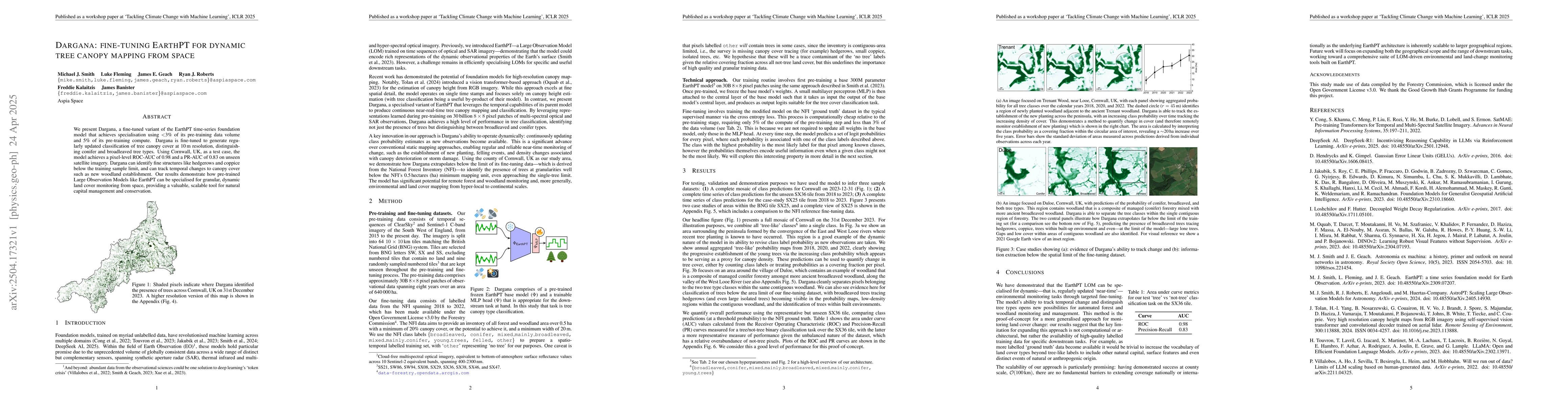
We present Dargana, a fine-tuned variant of the EarthPT time-series
foundation model that achieves specialisation using <3% of its pre-training
data volume and 5% of its pre-training compute. Dargana is fine-tuned to
generate regularly updated classification of tree canopy cover at 10m
resolution, distinguishing conifer and broadleaved tree types. Using Cornwall,
UK, as a test case, the model achieves a pixel-level ROC-AUC of 0.98 and a
PR-AUC of 0.83 on unseen satellite imagery. Dargana can identify fine
structures like hedgerows and coppice below the training sample limit, and can
track temporal changes to canopy cover such as new woodland establishment. Our
results demonstrate how pre-trained Large Observation Models like EarthPT can
be specialised for granular, dynamic land cover monitoring from space,
providing a valuable, scalable tool for natural capital management and
conservation.
Discussion 0