Dense-TNT: Efficient Vehicle Type Classification Neural Network Using Satellite Imagery
Publication
Metrics
AI Quick Summary
This paper proposes a novel Dense-TNT framework combining DenseNet and Transformer layers for efficient vehicle type classification using satellite imagery, demonstrating robust performance even under adverse weather conditions. Experimental results show minimal recognition decay, highlighting the model's effectiveness in complex environments.
Paper Preview
Abstract
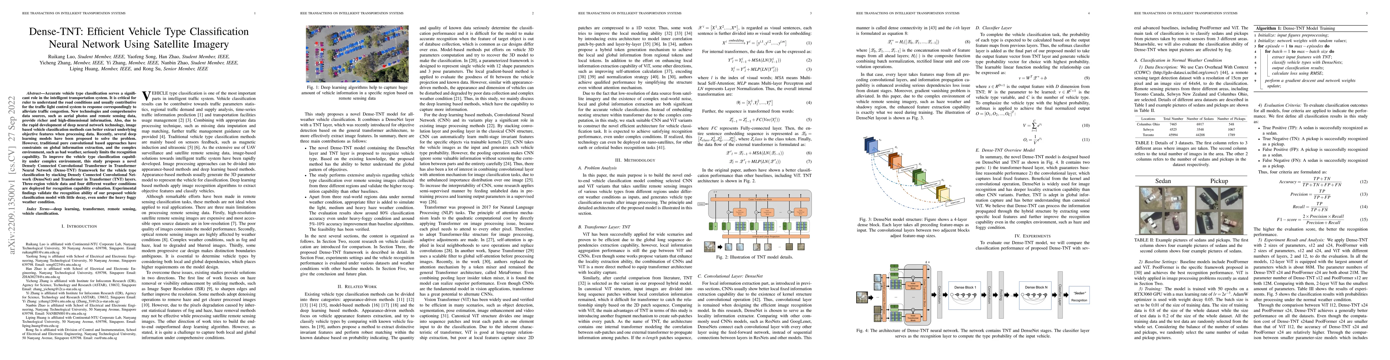
Accurate vehicle type classification serves a significant role in the intelligent transportation system. It is critical for ruler to understand the road conditions and usually contributive for the traffic light control system to response correspondingly to alleviate traffic congestion. New technologies and comprehensive data sources, such as aerial photos and remote sensing data, provide richer and high-dimensional information. Also, due to the rapid development of deep neural network technology, image based vehicle classification methods can better extract underlying objective features when processing data. Recently, several deep learning models have been proposed to solve the problem. However, traditional pure convolutional based approaches have constraints on global information extraction, and the complex environment, such as bad weather, seriously limits the recognition capability. To improve the vehicle type classification capability under complex environment, this study proposes a novel Densely Connected Convolutional Transformer in Transformer Neural Network (Dense-TNT) framework for the vehicle type classification by stacking Densely Connected Convolutional Network (DenseNet) and Transformer in Transformer (TNT) layers. Three-region vehicle data and four different weather conditions are deployed for recognition capability evaluation. Experimental findings validate the recognition ability of our proposed vehicle classification model with little decay, even under the heavy foggy weather condition.
AI Key Findings
Get AI-generated insights about this paper's methodology, results, significance, and more — seven facets brought into focus.
Impact
Paper Details
Authors
PDF Preview
Key Terms
Citation Network
Current paper (gray), citations (green), references (blue)
Display is limited for performance on very large graphs.
Discussion 0