Quick Summary:

EarthMapper proposes a novel autoregressive framework for translating satellite images to maps and vice versa, achieving superior performance in visual realism, semantic consistency, and structural fidelity over state-of-the-art methods.

Summary

Satellite imagery and maps, as two fundamental data modalities in remote sensing, offer direct observations of the Earth's surface and human-interpretable geographic abstractions, respectively. The task of bidirectional translation between satellite images and maps (BSMT) holds significant potential for applications in urban planning and disaster response. However, this task presents two major challenges: first, the absence of precise pixel-wise alignment between the two modalities substantially complicates the translation process; second, it requires achieving both high-level abstraction of geographic features and high-quality visual synthesis, which further elevates the technical complexity. To address these limitations, we introduce EarthMapper, a novel autoregressive framework for controllable bidirectional satellite-map translation. EarthMapper employs geographic coordinate embeddings to anchor generation, ensuring region-specific adaptability, and leverages multi-scale feature alignment within a geo-conditioned joint scale autoregression (GJSA) process to unify bidirectional translation in a single training cycle. A semantic infusion (SI) mechanism is introduced to enhance feature-level consistency, while a key point adaptive guidance (KPAG) mechanism is proposed to dynamically balance diversity and precision during inference. We 
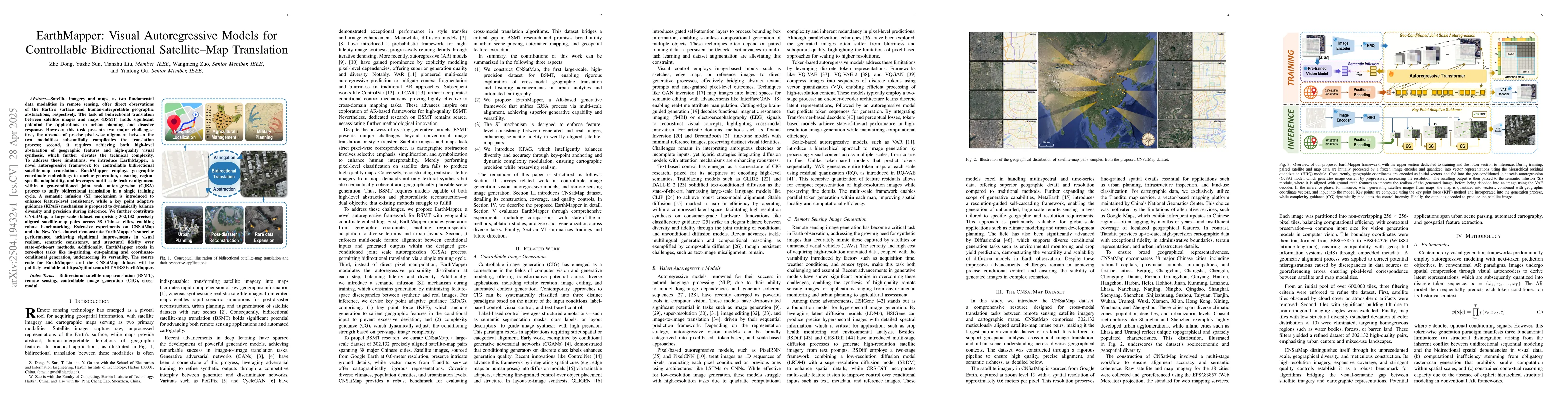
further contribute CNSatMap, a large-scale dataset comprising 302,132 precisely aligned satellite-map pairs across 38 Chinese cities, enabling robust benchmarking. Extensive experiments on CNSatMap and the New York dataset demonstrate EarthMapper's superior performance, achieving significant improvements in visual realism, semantic consistency, and structural fidelity over state-of-the-art methods. Additionally, EarthMapper excels in zero-shot tasks like in-painting, out-painting and coordinate-conditional generation, underscoring its versatility.

AI Key Findings

Generated Jun 08, 2025

Methodology

EarthMapper utilizes a novel autoregressive framework incorporating geographic coordinate embeddings for anchored generation and multi-scale feature alignment within a geo-conditioned joint scale autoregression process to enable bidirectional translation between satellite images and maps in a single training cycle.

Key Results

  • EarthMapper demonstrates significant improvements in visual realism, semantic consistency, and structural fidelity over state-of-the-art methods on benchmark datasets like CNSatMap and New York.
  • The model excels in zero-shot tasks such as in-painting, out-painting, and coordinate-conditional generation, showcasing its versatility.

Significance

This research is important as it addresses the challenges of bidirectional satellite-map translation, which is crucial for applications in urban planning and disaster response by providing a robust method that ensures region-specific adaptability and unifies translation in one training cycle.

Technical Contribution

The primary technical contribution is EarthMapper, a framework that uses geographic coordinate embeddings, semantic infusion mechanism, and key point adaptive guidance for controllable bidirectional translation between satellite imagery and maps.

Novelty

EarthMapper's novelty lies in its autoregressive approach that integrates geographic coordinate information, multi-scale feature alignment, and a joint scale autoregression process, all within a single training cycle, addressing the technical complexity of BSMT task.

Limitations

  • The paper does not explicitly discuss limitations, but potential limitations could include reliance on precise geographic coordinate data and computational resource intensity due to the autoregressive nature of the model.
  • Performance in diverse global contexts beyond the training data (like 38 Chinese cities) remains to be validated.

Future Work

  • Exploration of EarthMapper's applicability in other geographical contexts and diverse global datasets.
  • Investigation into methods to reduce computational demands while maintaining performance.

Paper Details

PDF Preview

Download PDF

Key Terms

No key terms available for this paper.

Citation Network

Current paper (gray), citations (green), references (blue)

Current Paper
Citations
References
Click to view

Similar Papers

Found 4 papers

No citations found for this paper.

Comments (0)

This website uses cookies to ensure you get the best experience. Learn more