Summary

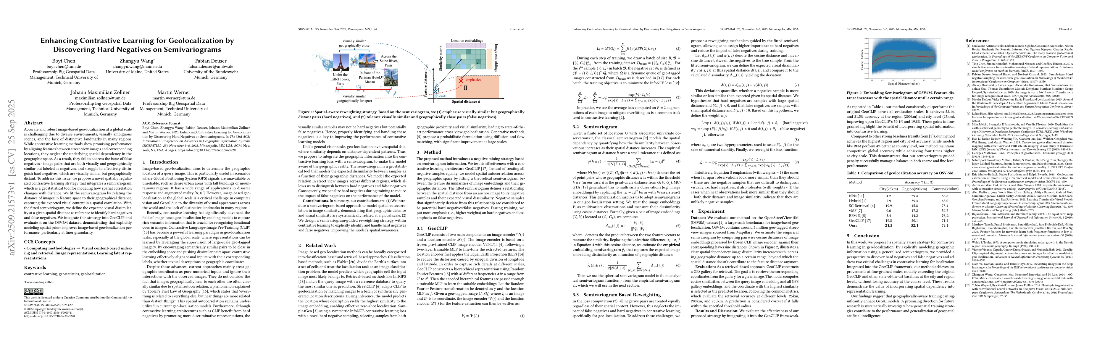
Accurate and robust image-based geo-localization at a global scale is challenging due to diverse environments, visually ambiguous scenes, and the lack of distinctive landmarks in many regions. While contrastive learning methods show promising performance by aligning features between street-view images and corresponding locations, they neglect the underlying spatial dependency in the geographic space. As a result, they fail to address the issue of false negatives -- image pairs that are both visually and geographically similar but labeled as negatives, and struggle to effectively distinguish hard negatives, which are visually similar but geographically distant. To address this issue, we propose a novel spatially regularized contrastive learning strategy that integrates a semivariogram, which is a geostatistical tool for modeling how spatial correlation changes with distance. We fit the semivariogram by relating the distance of images in feature space to their geographical distance, capturing the expected visual content in a spatial correlation. With the fitted semivariogram, we define the expected visual dissimilarity at a given spatial distance as reference to identify hard negatives and false negatives. We integrate this strategy into GeoCLIP and evaluate it on the OSV5M dataset, demonstrating that explicitly modeling spatial priors improves image-based geo-localization performance, particularly at finer granularity.

AI Key Findings

Generated Oct 01, 2025

Methodology

The research introduces a spatially regularized contrastive learning strategy that integrates a semivariogram, a geostatistical tool modeling spatial correlation changes with distance. The semivariogram relates image feature distances to geographical distances to identify hard negatives and false negatives by defining expected visual dissimilarity at spatial distances.

Key Results

  • The proposed method achieves 21.5% and 52.1% accuracy at city (25km) and region (200km) levels on the OSV5M dataset, outperforming the original GeoCLIP by 1.7% and 2.0% respectively.
  • The semivariogram-guided strategy effectively distinguishes hard negatives (visually similar but geographically distant) from false negatives (visually and geographically similar), improving model performance in fine-grained geo-localization.
  • The method maintains competitive global accuracy while achieving four times higher accuracy at city scale compared to other baselines like RFMS2.

Significance

This research advances geo-localization by explicitly modeling spatial priors through semivariograms, enhancing the ability to handle visually similar but geographically distant images. It provides a framework for improving contrastive learning in geospatial tasks with global scale applications.

Technical Contribution

A novel semivariogram-based approach to model spatial autocorrelation in image similarity, integrating geographic distance and visual similarity through a reweighted contrastive learning framework.

Novelty

The work introduces the first integration of geostatistical semivariograms into contrastive learning for geo-localization, providing a spatially aware strategy to identify and handle hard negatives and false negatives in a global scale setting.

Limitations

  • The method relies on large-scale geo-tagged datasets like OSV5M, which may not be available for all regions.
  • The semivariogram fitting process could be computationally intensive for very large datasets.

Future Work

  • Exploring the integration of additional geospatial features beyond semivariograms for enhanced modeling.
  • Investigating the application of this spatial-aware contrastive learning to other geospatial tasks like disaster response or augmented reality.
  • Developing more efficient semivariogram fitting techniques for scalability in large-scale geo-localization systems.

Paper Details

PDF Preview

Download PDF

Comments (0)

This website uses cookies to ensure you get the best experience. Learn more