Estimating the Diameter at Breast Height of Trees in a Forest With a Single 360 Camera
Publication
Metrics
AI Quick Summary
A low-cost method using a 360 camera achieves accurate diameter at breast height measurements for forest trees with median absolute relative errors of 2-4%.
Paper Preview
Abstract
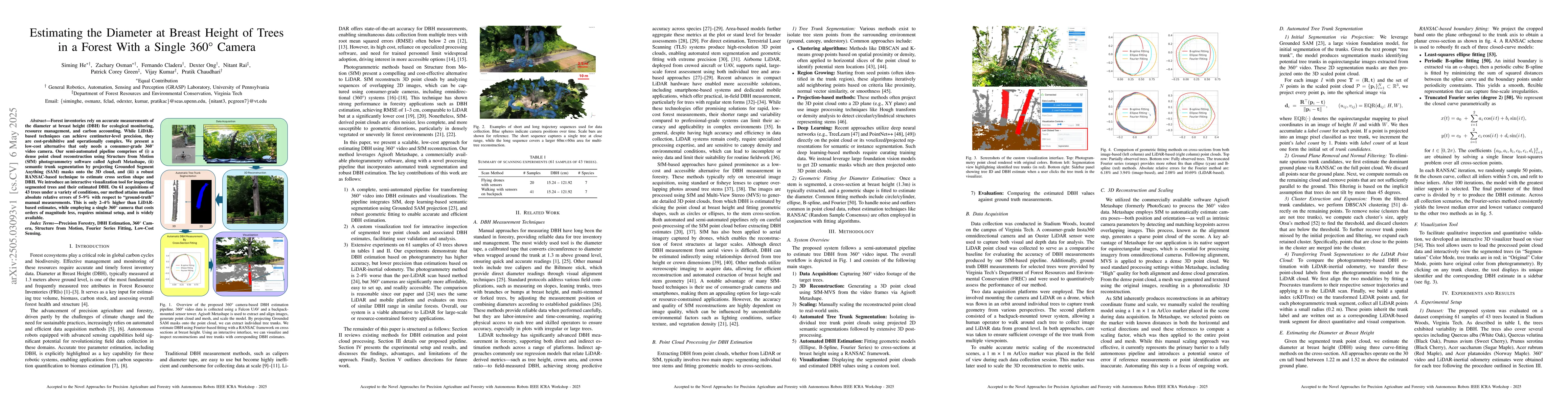
Forest inventories rely on accurate measurements of the diameter at breast height (DBH) for ecological monitoring, resource management, and carbon accounting. While LiDAR-based techniques can achieve centimeter-level precision, they are cost-prohibitive and operationally complex. We present a low-cost alternative that only needs a consumer-grade 360 video camera. Our semi-automated pipeline comprises of (i) a dense point cloud reconstruction using Structure from Motion (SfM) photogrammetry software called Agisoft Metashape, (ii) semantic trunk segmentation by projecting Grounded Segment Anything (SAM) masks onto the 3D cloud, and (iii) a robust RANSAC-based technique to estimate cross section shape and DBH. We introduce an interactive visualization tool for inspecting segmented trees and their estimated DBH. On 61 acquisitions of 43 trees under a variety of conditions, our method attains median absolute relative errors of 5-9% with respect to "ground-truth" manual measurements. This is only 2-4% higher than LiDAR-based estimates, while employing a single 360 camera that costs orders of magnitude less, requires minimal setup, and is widely available.
AI Key Findings
Get AI-generated insights about this paper's methodology, results, significance, and more — seven facets brought into focus.
Impact
Authors
PDF Preview
Citation Network
Current paper (gray), citations (green), references (blue)
Display is limited for performance on very large graphs.
Discussion 0