Authors
Summary
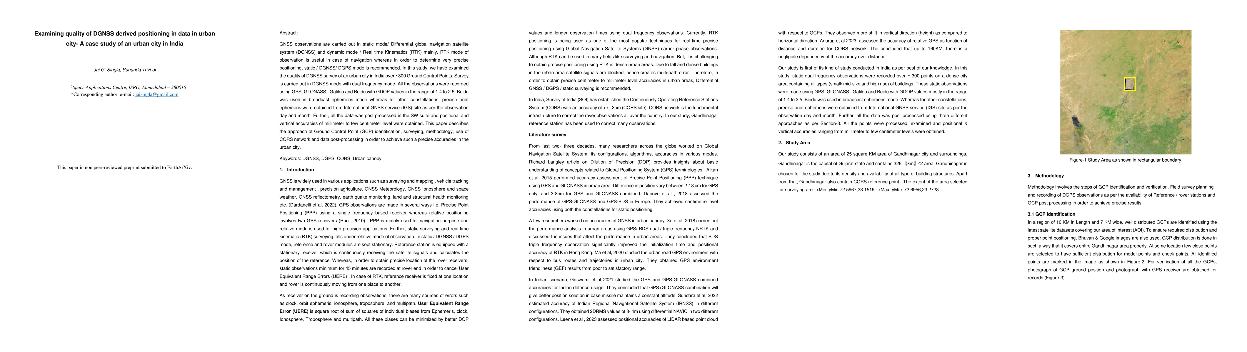
GNSS observations are carried out in static mode/ Differential global navigation satellite system (DGNSS) and dynamic mode / Real time Kinematics (RTK) mainly. RTK mode of observation is useful in case of navigation whereas in order to determine very precise positioning, static / DGNSS/ DGPS mode is recommended. In this study, we have examined the quality of DGNSS survey of an urban city in India over ~300 Ground Control Points. Survey is carried out in DGNSS mode with dual frequency mode. All the observations were recorded using GPS, GLONASS , Galileo and Beidu with GDOP values in the range of 1.4 to 2.5. Beidu was used in broadcast ephemeris mode whereas for other constellations, precise orbit ephemeris were obtained from International GNSS service (IGS) site as per the observation day and month. Further, all the data was post processed in the SW suite and positional and vertical accuracies of millimeter to few centimeter level were obtained. This paper describes the approach of Ground Control Point (GCP) identification, surveying, methodology, use of CORS network and data post-processing in order to achieve such a precise accuracies in the urban city.
AI Key Findings
Get AI-generated insights about this paper's methodology, results, and significance.
Paper Details
PDF Preview
Similar Papers
Found 4 papersGlobal city densities: re-examining urban scaling theory
Xiao Feng, Joseph R. Burger, Munik Shrestha et al.
Leveraging Urban Big Data for Informed Business Location Decisions: A Case Study of Starbucks in Tianhe District, Guangzhou City
Danni Chang, Xuan Feng, Yan Xiang
Smart City Development with Urban Transfer Learning
Bin Guo, Qiang Yang, Leye Wang
No citations found for this paper.
Comments (0)