FRAME: A Modular Framework for Autonomous Map-merging: Advancements in the Field
Publication
Metrics
AI Quick Summary
This paper introduces FRAME, a modular framework for merging 3D point cloud maps during egocentric multi-robot exploration, using advanced place recognition and learned descriptors for efficient overlap detection. The proposed method significantly reduces processing time and enhances accuracy and robustness compared to traditional techniques.
Paper Preview
Abstract
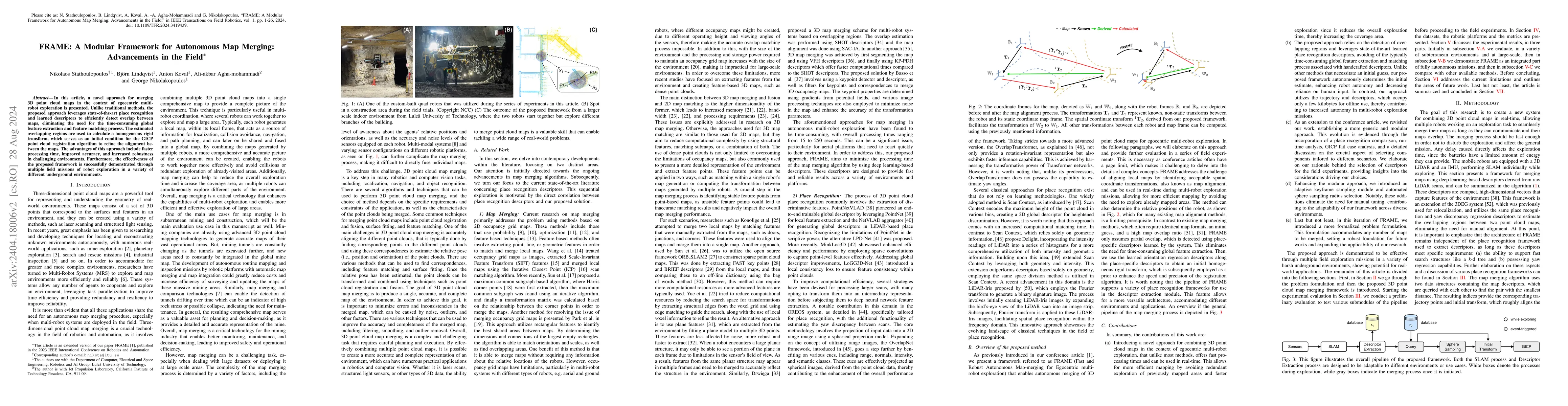
In this article, a novel approach for merging 3D point cloud maps in the context of egocentric multi-robot exploration is presented. Unlike traditional methods, the proposed approach leverages state-of-the-art place recognition and learned descriptors to efficiently detect overlap between maps, eliminating the need for the time-consuming global feature extraction and feature matching process. The estimated overlapping regions are used to calculate a homogeneous rigid transform, which serves as an initial condition for the GICP point cloud registration algorithm to refine the alignment between the maps. The advantages of this approach include faster processing time, improved accuracy, and increased robustness in challenging environments. Furthermore, the effectiveness of the proposed framework is successfully demonstrated through multiple field missions of robot exploration in a variety of different underground environments.
AI Key Findings
Get AI-generated insights about this paper's methodology, results, significance, and more — seven facets brought into focus.
Impact
Paper Details
Authors
PDF Preview
Key Terms
Citation Network
Current paper (gray), citations (green), references (blue)
Display is limited for performance on very large graphs.
Discussion 0