Summary
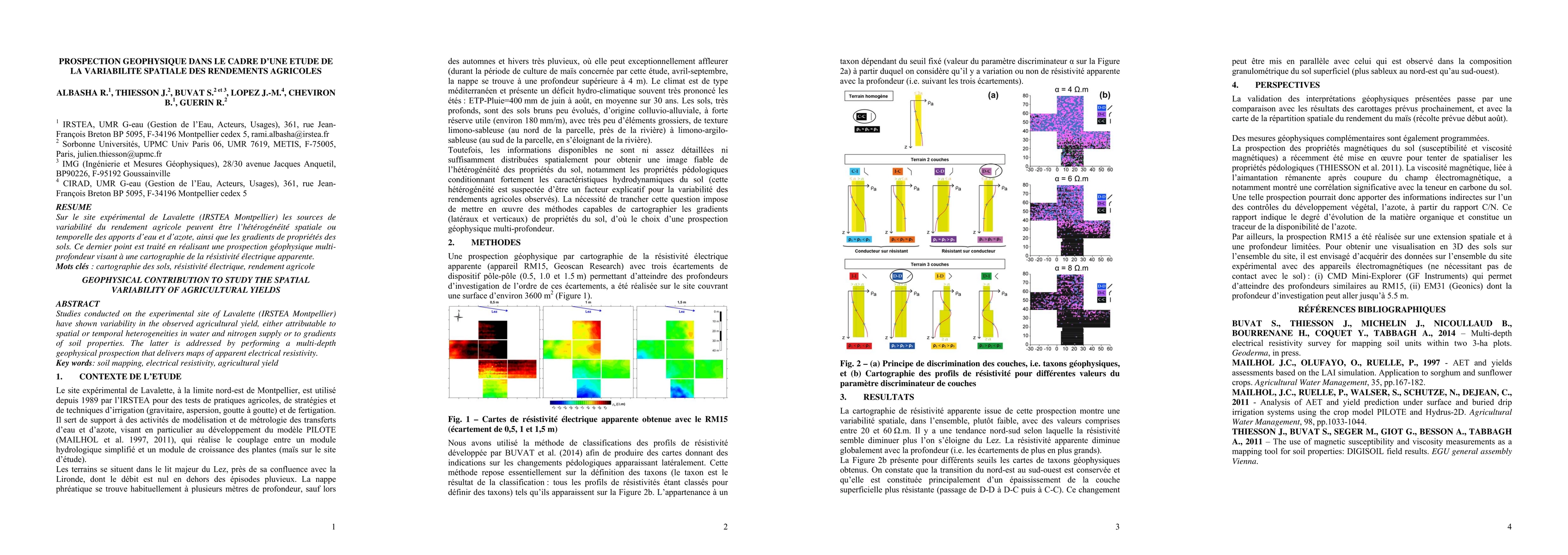
Studies conducted on the experimental site of Lavalette (IRSTEA Montpellier) have shown variability in the observed agricultural yield, either attributable to spatial or temporal heterogeneities in water and nitrogen supply or to gradients of soil properties. The latter is addressed by performing a multi-depthg geophysical prospection that delivers maps of apparent electrical resistivity.
AI Key Findings
Get AI-generated insights about this paper's methodology, results, and significance.
Paper Details
PDF Preview
Similar Papers
Found 4 papersFactors Influencing Autonomously Generated 3D Geophysical Spatial Models
M. Balamurali, A. Melkumyan, J. Zigman
Learning-based agricultural management in partially observable environments subject to climate variability
Jun Wang, Zhaoan Wang, Shaoping Xiao et al.
Spatially-clustered spatial autoregressive models with application to agricultural market concentration in Europe
Roy Cerqueti, Paolo Maranzano, Raffaele Mattera
No citations found for this paper.

Comments (0)