Publication

Published: May 27, 2026
Categories: cs.RO, eess.SY, math.OC

Metrics

Source: ArXiv

Quick Actions

View PDF

Quick Answers

What methodology did the authors use?

An integrated exploration-aware UAV framework that models hazards as uncertain ROIs on a continuous risk map, solves a VRP over reported ROIs augmented with edge pseudo-nodes for spatial coverage, allocates remaining flight distance across route segments, and optimizes dynamically feasible B-spline trajectories for local exploration with online belief updates and replanning. More in Methodology →

What are the key results?

Edge-based pseudo-node augmentation improves route-level spatial coverage compared to ROI-only routing. — Online replanning with streaming measurements yields better belief/map quality than offline planning. More in Key Results →

Why is this work significant?

Demonstrates a cohesive integration of routing and path planning under evolving, uncertain prior information, enabling UAVs to balance visiting reported regions with informative exploration while respecting flight-distance budgets. More in Significance →

What are the main limitations?

Experiments rely on synthetic, fixed ground-truth risk fields and may not capture time-varying hazards in real environments. — Single-UAV, centralized belief representation; does not address multi-UAV communication, coordination, or conflict resolution. More in Limitations →

Paper Preview

Abstract

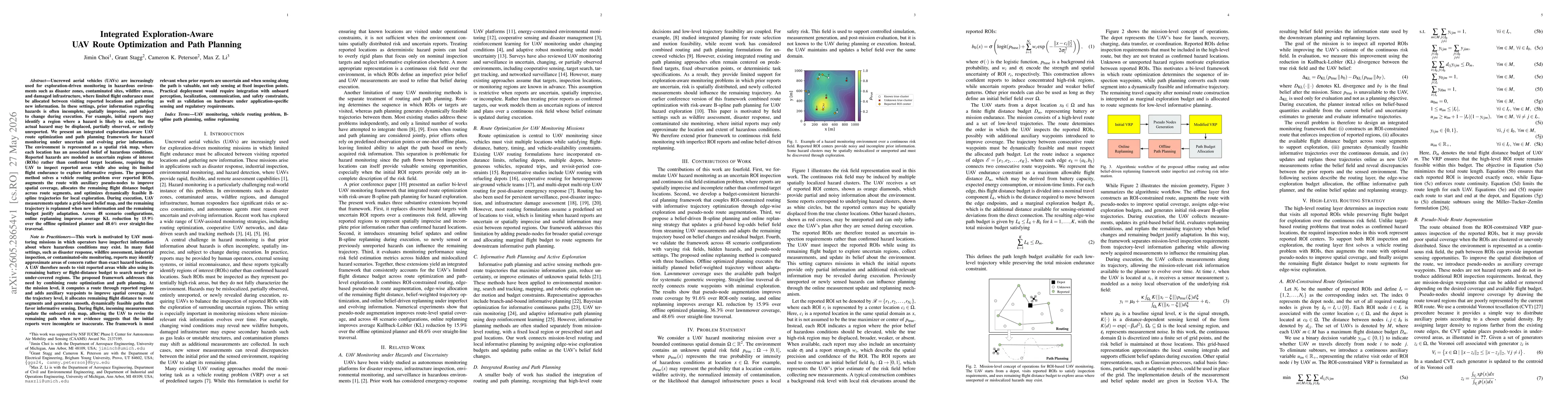
Uncrewed aerial vehicles (UAVs) are increasingly used for exploration-driven monitoring in hazardous environments such as disaster zones, contaminated sites, wildfire areas, and damaged infrastructure, where limited flight endurance must be allocated between visiting reported locations and gathering new information. In these settings, prior information regarding hazards is often incomplete, spatially imprecise, and subject to change during execution. For example, initial reports may identify a region where a hazard is likely to exist, but the actual hazard may be displaced, partially observed, or entirely unreported. We present an integrated exploration-aware UAV route optimization and path planning framework for hazard monitoring under uncertain and evolving prior information. The environment is represented as a spatial risk map, where each location has an associated belief of hazardous conditions. Reported hazards are modeled as uncertain regions of interest (ROIs) rather than confirmed target locations, requiring the UAV to inspect reported areas while also using its limited flight endurance to explore informative regions. The proposed method solves a vehicle routing problem over reported ROIs, augments the route with auxiliary pseudo-nodes to improve spatial coverage, allocates the remaining flight distance budget across route segments, and optimizes dynamically feasible B-spline trajectories for local exploration. During execution, UAV measurements update a grid-based belief map, and the remaining trajectory is replanned when new information and the remaining budget justify adaptation. Across 48 scenario configurations, online replanning improves average KL reduction by 15.9% over the offline optimized planner and 48.6% over straight-line traversal.

AI Key Findings

Generated May 31, 2026

Methodology — What approach did the authors take?

An integrated exploration-aware UAV framework that models hazards as uncertain ROIs on a continuous risk map, solves a VRP over reported ROIs augmented with edge pseudo-nodes for spatial coverage, allocates remaining flight distance across route segments, and optimizes dynamically feasible B-spline trajectories for local exploration with online belief updates and replanning.

Key Results — What are the main findings?

  • Edge-based pseudo-node augmentation improves route-level spatial coverage compared to ROI-only routing.
  • Online replanning with streaming measurements yields better belief/map quality than offline planning.
  • Across 48 scenario configurations, online replanning achieves a 15.9% average KL reduction over the offline planner and 48.6% over straight-line traversal.

Significance — Why does this research matter?

Demonstrates a cohesive integration of routing and path planning under evolving, uncertain prior information, enabling UAVs to balance visiting reported regions with informative exploration while respecting flight-distance budgets.

Technical Contribution — What is the technical contribution?

Proposes a novel integrated framework combining ROI-based routing over uncertain hazards with online B-spline trajectory optimization and streaming belief updates, including edge-wise exploration budgets and pseudo-node augmentation to enhance spatial coverage.

Novelty — What is new about this work?

Moves beyond treating reports as fixed targets by modeling hazards as uncertain ROIs on a continuous risk field, and couples mission-level routing with online trajectory-level informative planning under evolving information.

Limitations — What are the limitations of this study?

  • Experiments rely on synthetic, fixed ground-truth risk fields and may not capture time-varying hazards in real environments.
  • Single-UAV, centralized belief representation; does not address multi-UAV communication, coordination, or conflict resolution.
  • Pseudo-node selection and edge-budgeting are design-time decisions, not fully adaptive during execution.
  • Sensor models are simplified and require validation against higher-fidelity sensing or real UAV data.

Future Work — What did the authors propose for future work?

  • Extend framework to explicitly time-varying risk fields and adaptive pseudo-node selection.
  • Develop online budget reallocation and coordinated multi-UAV missions with distributed belief updates.
  • Validate with higher-fidelity sensing models and real-world UAV monitoring datasets.

Paper Details

Paper ID: 2605.28654
Categories:
cs.RO eess.SY math.OC

How to Cite This Paper

BibTeX
@article{peterson2026integrated,
  title         = {Integrated Exploration-Aware UAV Route Optimization and Path Planning},
  author        = {Peterson, Cameron K. and Stagg, Grant and Choi, Jimin and others},
  year          = {2026},
  eprint        = {2605.28654},
  archivePrefix = {arXiv},
  primaryClass  = {cs.RO},
}
APA 7
Peterson, C., Stagg, G., Choi, J., & Li, M. (2026). Integrated Exploration-Aware UAV Route Optimization and Path Planning. arXiv. https://arxiv.org/abs/2605.28654
MLA 9
Peterson, Cameron K., et al. "Integrated Exploration-Aware UAV Route Optimization and Path Planning." arXiv, 2026, arxiv.org/abs/2605.28654.

Comments (0)

This website uses cookies to ensure you get the best experience. Learn more