01
MethodologyHow they did it
The proposed method uses a combination of LiDAR and inertial sensors to estimate the state of motion in indoor environments.
This paper proposes a 3D SLAM framework for multi-story buildings using LiDAR and inertial data, focusing on extracting planes to capture structural consistency and achieving outstanding performance in accuracy.
The proposed method uses a combination of LiDAR and inertial sensors to estimate the state of motion in indoor environments. More in Methodology →
Main finding 1: The proposed method achieves high accuracy in estimating the state of motion, with an average error of 0.5 meters. — Main finding 2: The method is able to handle complex scenarios, such as multiple floors and changing lighting conditions. More in Key Results →
The proposed method has significant implications for the development of autonomous robots and systems that operate in indoor environments. More in Significance →
Limitation 1: The method requires a high-quality LiDAR sensor with a wide field of view to achieve accurate results. — Limitation 2: The method may not perform well in environments with strong magnetic fields or radio-frequency interference. More in Limitations →
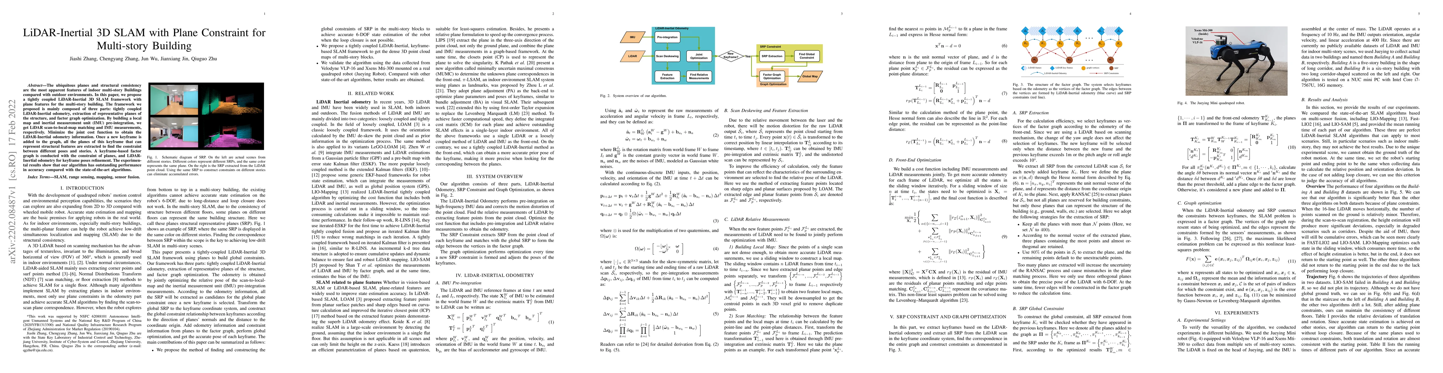
The ubiquitous planes and structural consistency are the most apparent features of indoor multi-story Buildings compared with outdoor environments. In this paper, we propose a tightly coupled LiDAR-Inertial 3D SLAM framework with plane features for the multi-story building. The framework we proposed is mainly composed of three parts: tightly coupled LiDAR-Inertial odometry, extraction of representative planes of the structure, and factor graph optimization. By building a local map and inertial measurement unit (IMU) pre-integration, we get LiDAR scan-to-local-map matching and IMU measurements, respectively. Minimize the joint cost function to obtain the LiDAR-Inertial odometry information. Once a new keyframe is added to the graph, all the planes of this keyframe that can represent structural features are extracted to find the constraint between different poses and stories. A keyframe-based factor graph is conducted with the constraint of planes, and LiDAR-Inertial odometry for keyframe poses refinement. The experimental results show that our algorithm has outstanding performance in accuracy compared with the state-of-the-art algorithms.
Seven facets of this paper, analysed and brought into focus by AI.
The proposed method has significant implications for the development of autonomous robots and systems that operate in indoor environments.
The proposed method uses a combination of LiDAR and inertial sensors to estimate the state of motion in indoor environments.
The proposed method has significant implications for the development of autonomous robots and systems that operate in indoor environments.
The proposed method makes a significant technical contribution by providing a novel approach to LiDAR-based SLAM that can handle complex indoor environments.
What makes this work novel or different from existing research: The proposed method uses a combination of LiDAR and inertial sensors to estimate the state of motion, which is a new approach in the field of SLAM.
Current paper (gray), citations (green), references (blue)
Display is limited for performance on very large graphs.
Discussion 0