01
MethodologyHow they did it
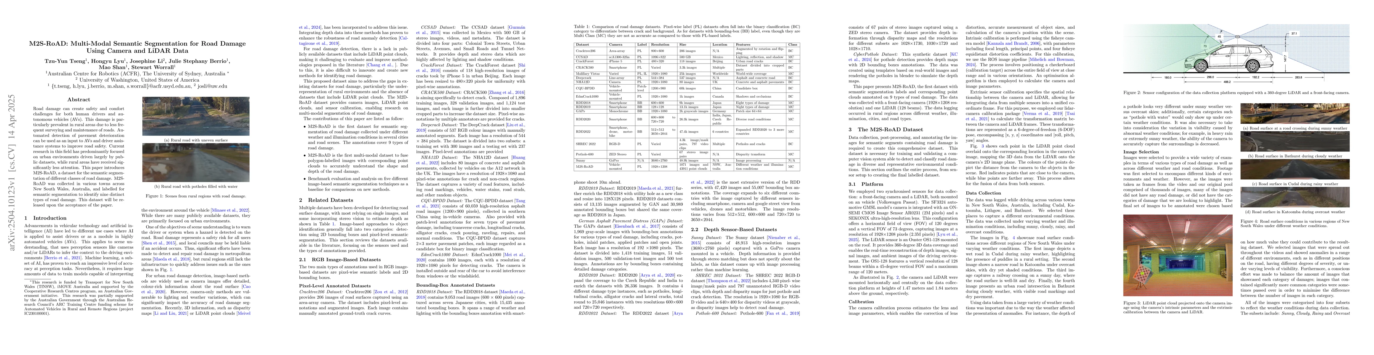
The paper introduces M2S-RoAD, a multi-modal dataset for semantic segmentation of road damage using camera and LiDAR data. The dataset was collected in various rural areas of New South Wales, Australia, under diverse weather and road conditions. It contains 67 pairs of stereo images and corresponding depth information from a ZED stereo camera and a LiDAR sensor, labeled for nine types of road damage.
Discussion 0